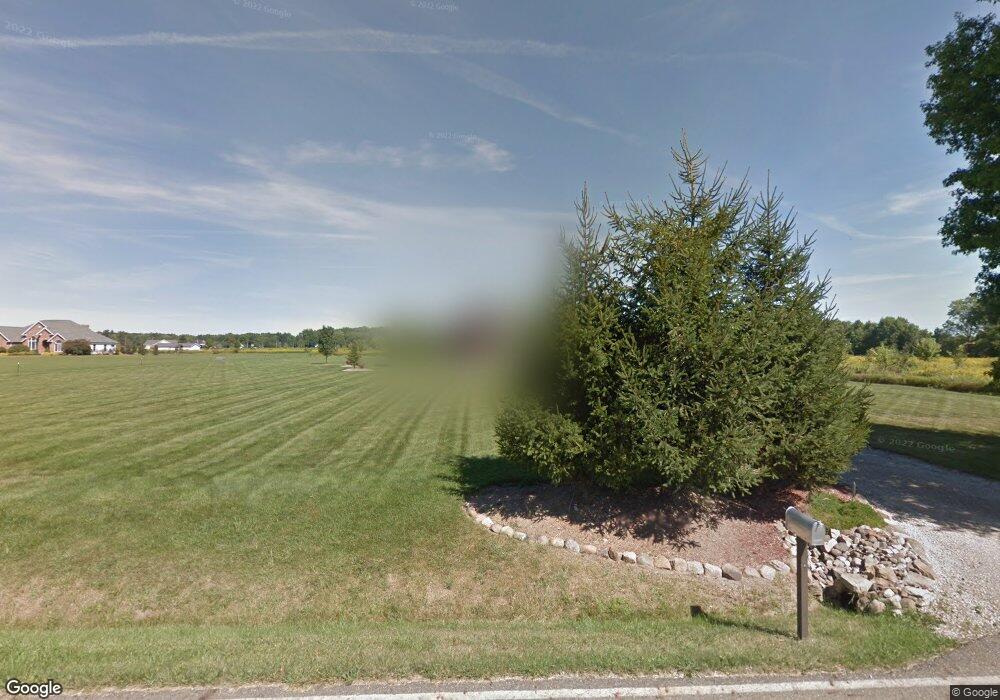
11963 Snode St NE Alliance, OH 44601
Estimated Value: $265,000 - $333,000
3
Beds
3
Baths
1,456
Sq Ft
$212/Sq Ft
Est. Value
About This Home
This home is located at 11963 Snode St NE, Alliance, OH 44601 and is currently estimated at $308,827, approximately $212 per square foot. 11963 Snode St NE is a home located in Stark County with nearby schools including Marlington High School.
Ownership History
Date
Name
Owned For
Owner Type
Purchase Details
Closed on
May 15, 2018
Sold by
Huntington National Bank & Trust Co
Bought by
Cockrill Joan and Johnson Julia
Current Estimated Value
Purchase Details
Closed on
Jul 13, 2015
Sold by
Stollar Dawn M and Stollar Dawn Marie
Bought by
Stollar Andrew I
Purchase Details
Closed on
May 24, 2011
Sold by
Stollar Andrew I and Stollar Dawn Marie
Bought by
Stollar Andrew I and Stollar Dawn Marie
Home Financials for this Owner
Home Financials are based on the most recent Mortgage that was taken out on this home.
Original Mortgage
$122,650
Interest Rate
4.81%
Mortgage Type
New Conventional
Purchase Details
Closed on
Aug 9, 2003
Sold by
Stollar Andrew I and Stollar Angela M
Bought by
Stollar Andrew I
Home Financials for this Owner
Home Financials are based on the most recent Mortgage that was taken out on this home.
Original Mortgage
$146,100
Interest Rate
5.62%
Mortgage Type
Purchase Money Mortgage
Create a Home Valuation Report for This Property
The Home Valuation Report is an in-depth analysis detailing your home's value as well as a comparison with similar homes in the area
Purchase History
| Date | Buyer | Sale Price | Title Company |
|---|---|---|---|
| Cockrill Joan | -- | None Available | |
| Stollar Andrew I | -- | Attorney | |
| Stollar Andrew I | -- | Attorney | |
| Stollar Andrew I | -- | -- |
Source: Public Records
Mortgage History
| Date | Status | Borrower | Loan Amount |
|---|---|---|---|
| Previous Owner | Stollar Andrew I | $122,650 | |
| Previous Owner | Stollar Andrew I | $146,100 |
Source: Public Records
Tax History Compared to Growth
Tax History
| Year | Tax Paid | Tax Assessment Tax Assessment Total Assessment is a certain percentage of the fair market value that is determined by local assessors to be the total taxable value of land and additions on the property. | Land | Improvement |
|---|---|---|---|---|
| 2025 | -- | $92,860 | $39,170 | $53,690 |
| 2024 | -- | $92,860 | $39,170 | $53,690 |
| 2023 | $2,927 | $82,500 | $32,480 | $50,020 |
| 2022 | $2,937 | $82,500 | $32,480 | $50,020 |
| 2021 | $2,952 | $82,670 | $32,480 | $50,190 |
| 2020 | $2,836 | $70,740 | $28,040 | $42,700 |
| 2019 | $2,817 | $70,750 | $28,040 | $42,710 |
Source: Public Records
Map
Nearby Homes
- 11676 Lair Rd NE
- 11960 Freshley Ave NE
- 12966 Edison St NE
- 13004 Edison St NE
- 13109 Edison St NE
- 13222 Atwater Ave NE
- 0 Florida Ave NE
- 11480 Aebi Ave NE
- 10666 Wilma Ave NE
- 10645 Wilma Ave NE
- 0 Meadow St NE
- 14920 Mccallum Ave NE
- 10580 Heltman Ave NE
- 14486 Ardmore Dr NE
- 14422 Sturbridge Rd NE
- 11380 Johnson Ave NE
- 0 Homestead Ave NE
- 131 Atwater Ave
- 14723 Bolton St NE
- 11335 Meadowbrook Ave NE
- 11877 Snode St NE
- 11956 Snode St NE
- 12045 Snode St NE
- 12018 Snode St NE
- 11849 Snode St NE
- 12036 Snode St NE
- 12440 Mccallum Ave NE
- 12650 Mccallum Ave NE
- 12533 Mccallum Ave NE
- 12515 Mccallum Ave NE
- 12021 Snode St NE
- 12481 Mccallum Ave NE
- 12625 Mccallum Ave NE
- 12461 Mccallum Ave NE
- 12099 Snode St NE
- 12565 Mccallum Ave NE
- 12360 Mccallum Ave NE
- 12170 Snode St NE
- 12425 Mccallum Ave NE
- 12385 Mccallum Ave NE
