11965 S 100 E La Fontaine, IN 46940
Estimated Value: $231,000 - $283,000
2
Beds
2
Baths
1,862
Sq Ft
$140/Sq Ft
Est. Value
About This Home
This home is located at 11965 S 100 E, La Fontaine, IN 46940 and is currently estimated at $260,869, approximately $140 per square foot. 11965 S 100 E is a home located in Wabash County.
Ownership History
Date
Name
Owned For
Owner Type
Purchase Details
Closed on
Nov 8, 2021
Sold by
Weaver John M
Bought by
Vanmeter Joshua and Vanmeter Katherine
Current Estimated Value
Home Financials for this Owner
Home Financials are based on the most recent Mortgage that was taken out on this home.
Original Mortgage
$175,000
Outstanding Balance
$160,111
Interest Rate
2.88%
Mortgage Type
New Conventional
Estimated Equity
$100,758
Create a Home Valuation Report for This Property
The Home Valuation Report is an in-depth analysis detailing your home's value as well as a comparison with similar homes in the area
Home Values in the Area
Average Home Value in this Area
Purchase History
| Date | Buyer | Sale Price | Title Company |
|---|---|---|---|
| Vanmeter Joshua | $275,000 | None Available |
Source: Public Records
Mortgage History
| Date | Status | Borrower | Loan Amount |
|---|---|---|---|
| Open | Vanmeter Joshua | $175,000 |
Source: Public Records
Tax History Compared to Growth
Tax History
| Year | Tax Paid | Tax Assessment Tax Assessment Total Assessment is a certain percentage of the fair market value that is determined by local assessors to be the total taxable value of land and additions on the property. | Land | Improvement |
|---|---|---|---|---|
| 2024 | $1,111 | $220,800 | $21,100 | $199,700 |
| 2023 | $1,131 | $218,400 | $21,100 | $197,300 |
| 2022 | $890 | $206,300 | $21,100 | $185,200 |
| 2021 | $857 | $179,900 | $17,500 | $162,400 |
| 2020 | $1,034 | $173,200 | $18,000 | $155,200 |
| 2019 | $906 | $166,400 | $18,000 | $148,400 |
| 2018 | $897 | $164,600 | $18,000 | $146,600 |
| 2017 | $837 | $160,300 | $18,000 | $142,300 |
| 2016 | $718 | $162,200 | $18,000 | $144,200 |
| 2014 | $589 | $155,900 | $18,000 | $137,900 |
| 2013 | $550 | $151,500 | $18,000 | $133,500 |
Source: Public Records
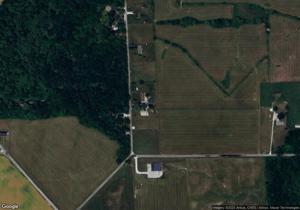
Map
Nearby Homes
- 3576 W 505 N
- 117 Meadow Dr
- 109 E Grant St
- 5066 Sunset Ct
- 403 E Kendall St
- 100 N Delaware Ln
- 852 W 850 S
- 4493 N Wabash Rd
- 3192 E 800 S Unit 2
- 3930 N Avalon Dr
- 3920 N Avalon Dr
- 638 Laura Ln
- 5292 W Delphi Pike
- 1920 W Westholme Dr
- 105 Peterson Dr
- 603 Broadway St
- 514 Allen Dr
- 119 Short St
- 218 Greenberry St
- 4141 N River Rd
- 11980 S 100 E
- 11855 S 100 E
- 11787 S 100 E
- 11780 S 100 E
- 1196 E 1200 S
- 548 E 1200 S
- 534 E 1200 S
- 6676 Frances Slocum Trail
- 520 E 1200 S
- 6530 N 500 W
- 474 E 1200 S
- 4549 W 700 N-27
- 6520 N 500 W
- 409 E Old Slocum Trail
- 390 E Old Slocum Trail
- 366 E Old Slocum Trail
- 379 Frances Slocum Trail
- 314 E Old Slocum Trail Unit 3
- 363 E Old Slocum Trail
- 4601 W 700 N27