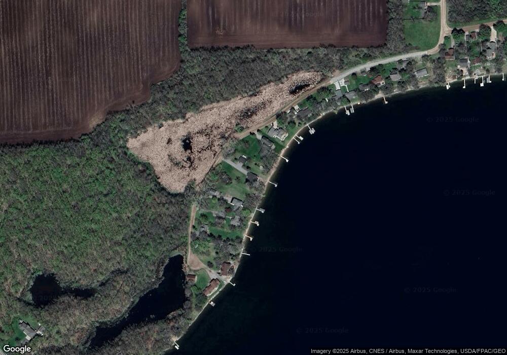
11969 89th St NW Annandale, MN 55302
Estimated Value: $774,000 - $928,000
4
Beds
2
Baths
1,469
Sq Ft
$584/Sq Ft
Est. Value
About This Home
This home is located at 11969 89th St NW, Annandale, MN 55302 and is currently estimated at $858,305, approximately $584 per square foot. 11969 89th St NW is a home located in Wright County with nearby schools including Annandale Elementary School, Annandale Middle School, and Annandale Senior High School.
Ownership History
Date
Name
Owned For
Owner Type
Purchase Details
Closed on
Oct 16, 2017
Sold by
Paraschuk Patricia Geraldine and Osmera Christina Patricia
Bought by
Loughrey Sean Kevin and Loughrey Anne Boser
Current Estimated Value
Purchase Details
Closed on
May 26, 2006
Sold by
Ashwill Tab A and Ashwill Jennifer A
Bought by
Not Provided
Purchase Details
Closed on
Apr 28, 2006
Sold by
Alberg Marilyn E
Bought by
Ashwill Tab A and Ashwill Jennifer A
Create a Home Valuation Report for This Property
The Home Valuation Report is an in-depth analysis detailing your home's value as well as a comparison with similar homes in the area
Home Values in the Area
Average Home Value in this Area
Purchase History
| Date | Buyer | Sale Price | Title Company |
|---|---|---|---|
| Loughrey Sean Kevin | $536,394 | Central Land Title | |
| Not Provided | $609,000 | -- | |
| Ashwill Tab A | $135,000 | -- |
Source: Public Records
Tax History Compared to Growth
Tax History
| Year | Tax Paid | Tax Assessment Tax Assessment Total Assessment is a certain percentage of the fair market value that is determined by local assessors to be the total taxable value of land and additions on the property. | Land | Improvement |
|---|---|---|---|---|
| 2025 | $6,604 | $933,500 | $643,100 | $290,400 |
| 2024 | $5,832 | $812,900 | $528,700 | $284,200 |
| 2023 | $5,712 | $767,200 | $482,400 | $284,800 |
| 2022 | $5,460 | $654,400 | $402,200 | $252,200 |
| 2021 | $5,546 | $568,900 | $356,400 | $212,500 |
| 2020 | $5,844 | $553,400 | $348,200 | $205,200 |
| 2019 | $6,768 | $550,400 | $0 | $0 |
| 2018 | $6,544 | $617,400 | $0 | $0 |
| 2017 | $6,708 | $604,800 | $0 | $0 |
| 2016 | $6,706 | $0 | $0 | $0 |
| 2015 | $6,484 | $0 | $0 | $0 |
| 2014 | -- | $0 | $0 | $0 |
Source: Public Records
Map
Nearby Homes
- 70 Excelsior Ave N
- 7939 Lake John Dr
- 350 Harrison St W
- TBD Harrison St W
- 8202 State Highway 24 NW
- 180 Brown Ave S
- 335 Chestnut St E
- 7620 Lake John Dr
- 7610 Lake John Dr
- 30 Cedar Ct
- 7551 Lake John Dr
- 7581 Lake John Dr
- 7560 Lake John Dr
- 330 Florence Ave S
- 320 Florence Ave S
- 310 Florence Ave S
- 340 Florence Ave S
- 350 Florence Ave S
- 360 Florence Ave S
- 370 Florence Ave S
- 11933 89th St NW
- 11989 89th St NW
- 11991 89th St NW
- 11991 11991 89th-Street-nw
- 11917 89th St NW
- 11993 89th St NW
- 11995 89th St NW
- 11891 89th St NW
- 11997 89th St NW
- 11875 89th St NW
- 11999 89th St NW
- 11999 11999 89th-Street-nw
- 11847 89th St NW
- 11835 89th St NW
- 11815 89th St NW
- 11799 89th St NW
- 11767 89th St NW
- 11747 89th St NW
- 11731 89th St NW
- 8845 Linn Ave NW
