11969 Bluebird St NW Coon Rapids, MN 55448
Estimated Value: $228,000 - $265,000
2
Beds
2
Baths
1,047
Sq Ft
$229/Sq Ft
Est. Value
About This Home
This home is located at 11969 Bluebird St NW, Coon Rapids, MN 55448 and is currently estimated at $240,123, approximately $229 per square foot. 11969 Bluebird St NW is a home located in Anoka County with nearby schools including Lucile Bruner Elementary School, Eisenhower Elementary School, and Laughlin Junior/Senior High School.
Ownership History
Date
Name
Owned For
Owner Type
Purchase Details
Closed on
Apr 23, 2020
Sold by
Sph Property One Llc
Bought by
Wilson Angela M
Current Estimated Value
Home Financials for this Owner
Home Financials are based on the most recent Mortgage that was taken out on this home.
Original Mortgage
$4,900
Outstanding Balance
$2,405
Interest Rate
3.3%
Mortgage Type
Unknown
Estimated Equity
$237,718
Purchase Details
Closed on
Feb 4, 2020
Sold by
Dornbusch Jodi Beth and Dornbusch Christopher Michael
Bought by
Sph Property One Llc
Purchase Details
Closed on
Dec 7, 2009
Sold by
Secretary Of Housing & Urban Development
Bought by
Mitchell Jodi Beth and Dornbusch Christopher M
Purchase Details
Closed on
May 23, 2003
Sold by
Wussow Judy L
Bought by
Brecknitch Deane L
Create a Home Valuation Report for This Property
The Home Valuation Report is an in-depth analysis detailing your home's value as well as a comparison with similar homes in the area
Home Values in the Area
Average Home Value in this Area
Purchase History
| Date | Buyer | Sale Price | Title Company |
|---|---|---|---|
| Wilson Angela M | $168,585 | Network Title Inc | |
| Sph Property One Llc | $156,221 | Network Title Inc | |
| Mitchell Jodi Beth | $57,000 | -- | |
| Brecknitch Deane L | $132,500 | -- |
Source: Public Records
Mortgage History
| Date | Status | Borrower | Loan Amount |
|---|---|---|---|
| Open | Wilson Angela M | $4,900 | |
| Open | Wilson Angela M | $163,525 |
Source: Public Records
Tax History Compared to Growth
Tax History
| Year | Tax Paid | Tax Assessment Tax Assessment Total Assessment is a certain percentage of the fair market value that is determined by local assessors to be the total taxable value of land and additions on the property. | Land | Improvement |
|---|---|---|---|---|
| 2025 | $2,284 | $226,600 | $63,000 | $163,600 |
| 2024 | $2,284 | $230,600 | $48,300 | $182,300 |
| 2023 | $2,167 | $215,700 | $52,500 | $163,200 |
| 2022 | $1,689 | $230,200 | $48,300 | $181,900 |
| 2021 | $1,657 | $166,500 | $27,300 | $139,200 |
| 2020 | $1,641 | $160,300 | $31,500 | $128,800 |
| 2019 | $1,588 | $153,300 | $31,500 | $121,800 |
| 2018 | $1,377 | $145,300 | $0 | $0 |
| 2017 | $1,247 | $126,100 | $0 | $0 |
| 2016 | $1,186 | $109,300 | $0 | $0 |
| 2015 | $1,025 | $109,300 | $20,000 | $89,300 |
| 2014 | -- | $79,700 | $5,900 | $73,800 |
Source: Public Records
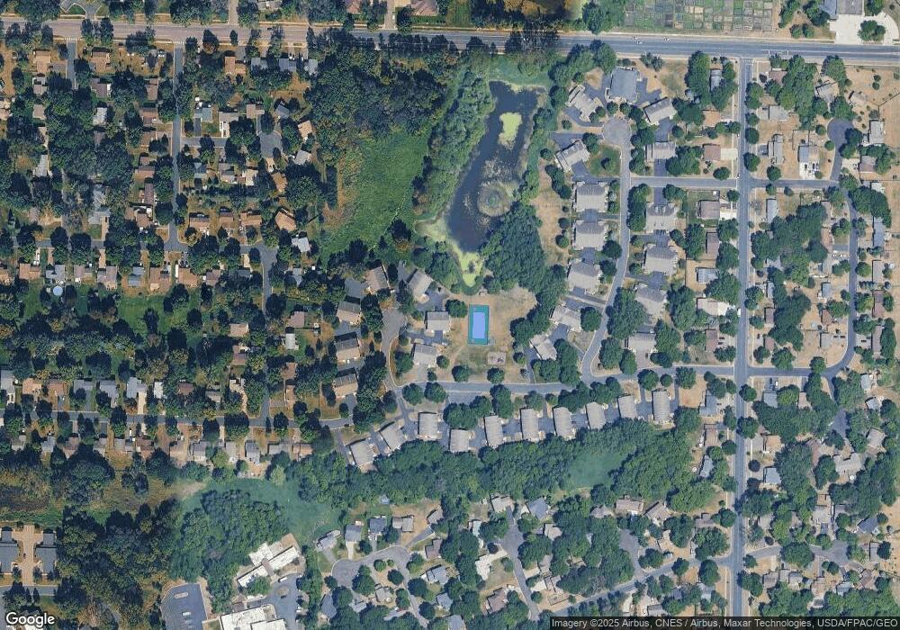
Map
Nearby Homes
- 1449 119th Ln NW
- 11852 Yellow Pine St NW
- 12010 Eagle St NW
- 11923 Wintergreen St NW
- 1727 121st Ln NW
- 1660 Northdale Blvd NW
- 12463 Drake St NW
- 1625 124th Ave NW
- 899 123rd Ln NW
- 12488 Unity St NW
- 12365 Jay St NW
- 633 Sand Creek Dr NW
- 1450 126th Ln NW
- 1593 126th Ln NW
- 12554 Grouse St NW
- 12357 Magnolia St NW
- 11350 Jay St NW
- 11640 Larch St NW
- 12796 Bluebird St NW
- 1234 128th Cir NW
- 11961 Bluebird St NW
- 11963 Bluebird St NW
- 11955 Bluebird St NW
- 11971 Bluebird St NW
- 11977 Bluebird St NW
- 11979 Bluebird St NW
- 11947 Bluebird St NW
- 11985 Bluebird St NW
- 1331 119th Ln NW
- 1339 119th Ln NW
- 11986 Bluebird St NW
- 11978 Bluebird St NW
- 11992 Bluebird St NW
- 1289 119th Ln NW
- 11962 Bluebird St NW
- 11954 Bluebird St NW
- 11984 Bluebird St NW
- 11952 Yellow Pine St NW
- 11946 Bluebird St NW
- 11970 Bluebird St NW