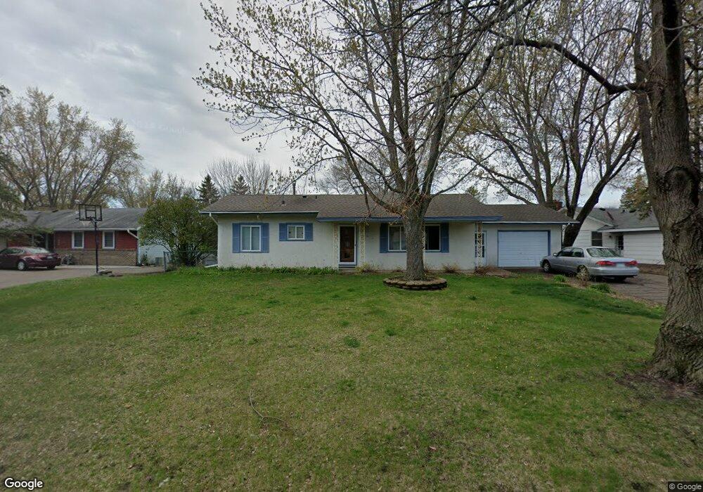
11972 Zion St NW Coon Rapids, MN 55433
Estimated Value: $304,000 - $318,000
3
Beds
2
Baths
1,056
Sq Ft
$296/Sq Ft
Est. Value
About This Home
This home is located at 11972 Zion St NW, Coon Rapids, MN 55433 and is currently estimated at $312,463, approximately $295 per square foot. 11972 Zion St NW is a home located in Anoka County with nearby schools including Lucile Bruner Elementary School, Morris Bye Elementary School, and Laughlin Junior/Senior High School.
Ownership History
Date
Name
Owned For
Owner Type
Purchase Details
Closed on
Jun 25, 2010
Sold by
Aho Jason E and Aho Toni M
Bought by
Brown Kristi L
Current Estimated Value
Home Financials for this Owner
Home Financials are based on the most recent Mortgage that was taken out on this home.
Original Mortgage
$120,800
Outstanding Balance
$80,474
Interest Rate
4.77%
Mortgage Type
New Conventional
Estimated Equity
$231,989
Purchase Details
Closed on
Jul 28, 1998
Sold by
Mclaughlin Mike and Larson Valerie
Bought by
Aho Jason and Wilkinson Toni
Create a Home Valuation Report for This Property
The Home Valuation Report is an in-depth analysis detailing your home's value as well as a comparison with similar homes in the area
Home Values in the Area
Average Home Value in this Area
Purchase History
| Date | Buyer | Sale Price | Title Company |
|---|---|---|---|
| Brown Kristi L | $151,000 | -- | |
| Aho Jason | $105,900 | -- |
Source: Public Records
Mortgage History
| Date | Status | Borrower | Loan Amount |
|---|---|---|---|
| Open | Brown Kristi L | $120,800 |
Source: Public Records
Tax History Compared to Growth
Tax History
| Year | Tax Paid | Tax Assessment Tax Assessment Total Assessment is a certain percentage of the fair market value that is determined by local assessors to be the total taxable value of land and additions on the property. | Land | Improvement |
|---|---|---|---|---|
| 2025 | $2,905 | $294,100 | $88,200 | $205,900 |
| 2024 | $2,905 | $284,200 | $91,400 | $192,800 |
| 2023 | $2,658 | $274,600 | $79,800 | $194,800 |
| 2022 | $2,533 | $276,700 | $70,400 | $206,300 |
| 2021 | $2,419 | $236,800 | $70,400 | $166,400 |
| 2020 | $2,471 | $222,200 | $65,100 | $157,100 |
| 2019 | $2,275 | $217,800 | $72,000 | $145,800 |
| 2018 | $2,208 | $197,000 | $0 | $0 |
| 2017 | $1,873 | $186,500 | $0 | $0 |
| 2016 | $1,879 | $157,200 | $0 | $0 |
| 2015 | $1,734 | $157,200 | $54,000 | $103,200 |
| 2014 | -- | $128,500 | $38,300 | $90,200 |
Source: Public Records
Map
Nearby Homes
- 12019 Zion St NW
- 11835 Crocus St NW
- 11809 Zion St NW
- 11749 Crooked Lake Blvd NW
- 3074 121st Ave NW
- 3020 117th Ave NW
- 12189 Lily St NW
- 2675 128th Ave NW
- 2687 128th Ave NW
- 2186 125th Ln NW
- 2068 124th Ln NW
- 2851 113th Ave NW
- 2147 125th Ln NW
- 11409 Quinn St NW
- 12597 Thrush St NW
- 11984 Orchid St NW
- 1830 121st Ln NW Unit 611
- 11444 Hanson Blvd NW
- 11424 Hanson Blvd NW
- 12760 Raven St NW
- 11964 Zion St NW
- 11980 Zion St NW
- 11971 Zion St NW
- 11957 Crocus St NW
- 11956 Zion St NW
- 11949 Crocus St NW
- 12001 Zion St NW
- 11941 Crocus St NW
- 12025 Zion St NW
- 11948 Zion St NW
- 12013 Zion St NW
- 12007 Zion St NW
- 11940 Zion St NW
- 11950 Crocus St NW
- 12027 Crocus St NW
- 12000 Crocus St NW
- 11940 Crocus St NW
- 11933 Crocus St NW
- 12012 Crocus St NW
- 11932 Zion St NW