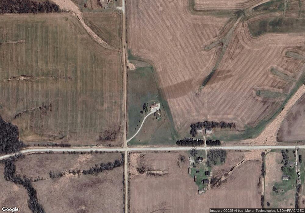
11985 50th Ave Prole, IA 50229
Warren County NeighborhoodEstimated Value: $415,000 - $464,000
3
Beds
4
Baths
1,404
Sq Ft
$308/Sq Ft
Est. Value
About This Home
This home is located at 11985 50th Ave, Prole, IA 50229 and is currently estimated at $433,107, approximately $308 per square foot. 11985 50th Ave is a home located in Warren County with nearby schools including Martensdale Elementary School and Martensdale-St. Marys Junior/Senior High School.
Ownership History
Date
Name
Owned For
Owner Type
Purchase Details
Closed on
Aug 11, 2009
Sold by
Henderson Christy K and Henderson David J
Bought by
Henderson Christy K and Henderson David J
Current Estimated Value
Purchase Details
Closed on
May 6, 2005
Sold by
Phillips Rex H
Bought by
Phillips Christy K
Create a Home Valuation Report for This Property
The Home Valuation Report is an in-depth analysis detailing your home's value as well as a comparison with similar homes in the area
Home Values in the Area
Average Home Value in this Area
Purchase History
| Date | Buyer | Sale Price | Title Company |
|---|---|---|---|
| Henderson Christy K | -- | None Available | |
| Phillips Christy K | -- | None Available |
Source: Public Records
Tax History Compared to Growth
Tax History
| Year | Tax Paid | Tax Assessment Tax Assessment Total Assessment is a certain percentage of the fair market value that is determined by local assessors to be the total taxable value of land and additions on the property. | Land | Improvement |
|---|---|---|---|---|
| 2025 | $3,668 | $398,800 | $152,900 | $245,900 |
| 2024 | $3,566 | $302,400 | $68,800 | $233,600 |
| 2023 | $3,122 | $302,400 | $68,800 | $233,600 |
| 2022 | $3,092 | $233,300 | $67,500 | $165,800 |
| 2021 | $3,220 | $233,300 | $67,500 | $165,800 |
| 2020 | $3,220 | $225,000 | $67,500 | $157,500 |
| 2019 | $3,038 | $225,000 | $67,500 | $157,500 |
| 2018 | $3,010 | $211,300 | $0 | $0 |
| 2017 | $3,010 | $211,300 | $0 | $0 |
| 2016 | $2,844 | $198,500 | $0 | $0 |
| 2015 | $2,844 | $198,500 | $0 | $0 |
| 2014 | $2,914 | $200,700 | $0 | $0 |
Source: Public Records
Map
Nearby Homes
- 0 Keokuk St
- 00 Keokuk St
- 01 Kennedy St
- R45 Highway
- 13450 R45 Hwy
- 265 Hwy 28 Hwy
- 214 Walnut Dr
- 265 Burlington Ave
- 320 Burlington Ave
- 3726 Mcgregor St
- 610 Franklin Dr
- 0 Mcgregor St Unit 22243665
- 16359 Kennedy St
- 33rd Avenue
- 01 Mcgregor St
- TBD Lot 8 Hogue Subdivision St
- Lot 5 78th Ln
- 01 33rd Ave
- 02 33rd Ave
- 00 33rd Ave
- 5146 Kennedy St
- 5146 Kennedy St
- 11688 50th Ave
- 5316 Kennedy St
- 11684 50th Ave
- 4962 Johnson St
- 12250 50th Ave
- 4874 Johnson St
- 0 Johnson & Hwy R45 Unit 5478908
- 4820 Johnson St
- 4788 Johnson St
- 0 Johnson St Unit 521240
- 0 50th Ave
- 5514 Kennedy St
- 4761 Johnson St
- 12159 45th Ave
- 12068 45th Ave
- 4650 Johnson St
- 4606 Johnson St
- 02 45th Ave
