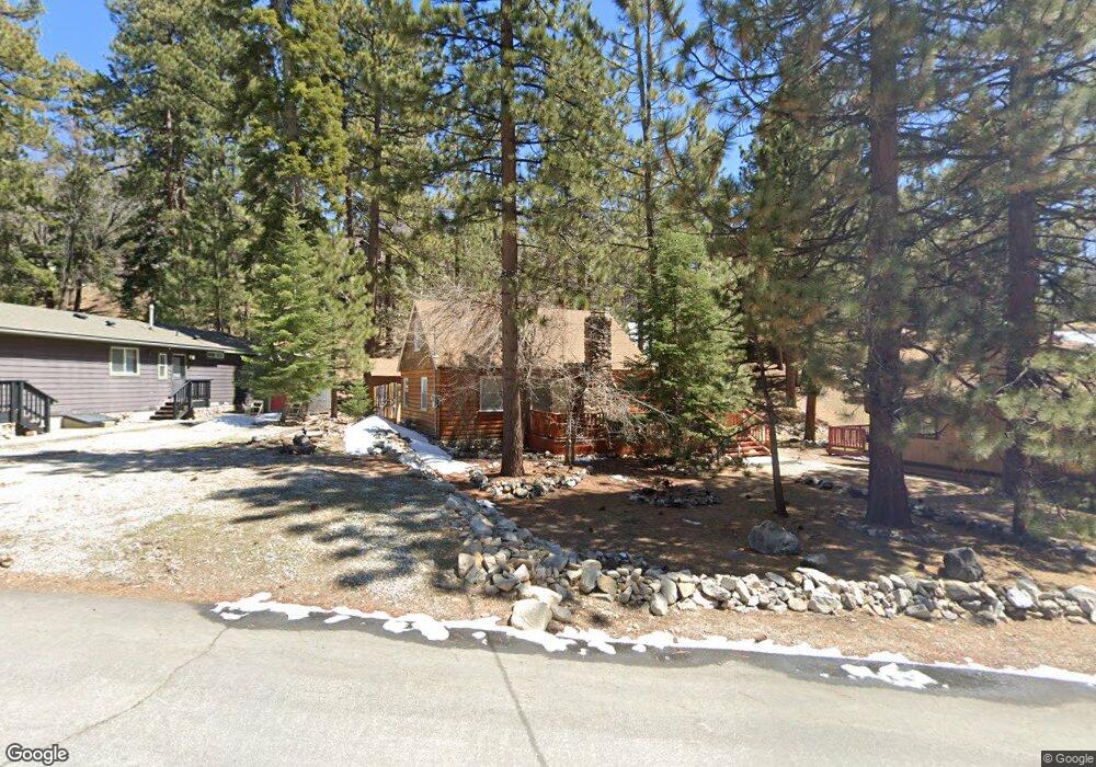
1199 Brookside Ln Fawnskin, CA 92333
Estimated Value: $250,000 - $478,000
2
Beds
1
Bath
1,086
Sq Ft
$315/Sq Ft
Est. Value
About This Home
This home is located at 1199 Brookside Ln, Fawnskin, CA 92333 and is currently estimated at $342,037, approximately $314 per square foot. 1199 Brookside Ln is a home with nearby schools including North Shore Elementary School, Big Bear Middle School, and Big Bear High School.
Ownership History
Date
Name
Owned For
Owner Type
Purchase Details
Closed on
Nov 1, 2024
Sold by
Faris Christopher J and Faris Judith A
Bought by
Faris Judith A
Current Estimated Value
Purchase Details
Closed on
Feb 3, 1998
Sold by
Betty M Sanders Elmer L
Bought by
Faris Christopher J and Faris Judith A
Home Financials for this Owner
Home Financials are based on the most recent Mortgage that was taken out on this home.
Original Mortgage
$62,550
Interest Rate
7.02%
Create a Home Valuation Report for This Property
The Home Valuation Report is an in-depth analysis detailing your home's value as well as a comparison with similar homes in the area
Home Values in the Area
Average Home Value in this Area
Purchase History
| Date | Buyer | Sale Price | Title Company |
|---|---|---|---|
| Faris Judith A | -- | None Listed On Document | |
| Faris Judith A | -- | None Listed On Document | |
| Faris Christopher J | $69,500 | Commonwealth Land Title Co |
Source: Public Records
Mortgage History
| Date | Status | Borrower | Loan Amount |
|---|---|---|---|
| Previous Owner | Faris Christopher J | $62,550 |
Source: Public Records
Tax History Compared to Growth
Tax History
| Year | Tax Paid | Tax Assessment Tax Assessment Total Assessment is a certain percentage of the fair market value that is determined by local assessors to be the total taxable value of land and additions on the property. | Land | Improvement |
|---|---|---|---|---|
| 2025 | $1,430 | $108,961 | $46,250 | $62,711 |
| 2024 | $1,430 | $106,824 | $45,343 | $61,481 |
| 2023 | $1,412 | $104,729 | $44,454 | $60,275 |
| 2022 | $1,385 | $102,675 | $43,582 | $59,093 |
| 2021 | $1,366 | $100,661 | $42,727 | $57,934 |
| 2020 | $1,385 | $99,629 | $42,289 | $57,340 |
| 2019 | $1,357 | $97,676 | $41,460 | $56,216 |
| 2018 | $1,158 | $95,761 | $40,647 | $55,114 |
| 2017 | $1,142 | $93,883 | $39,850 | $54,033 |
| 2016 | $1,120 | $92,043 | $39,069 | $52,974 |
| 2015 | $1,113 | $90,660 | $38,482 | $52,178 |
| 2014 | $1,093 | $88,884 | $37,728 | $51,156 |
Source: Public Records
Map
Nearby Homes
- 39342 Mohawk Dr
- 1127 Crags Ln
- 39326 Cedar Dell Rd
- 39239 Mohawk Dr
- 0 Bruin Trail Unit 32300136
- 0 Cedar Dell Rd Unit 32202725
- 1118 Bruin Trail
- 1106 Comanche Dr
- 39325 Lodge Rd
- 0 Raccoon Dr Unit 32501518
- 1247 Piney Ridge Place
- 39210 N Shore Dr
- 39337 Garden Place
- 39177 Arapahoe Rd
- 39226 N Shore Dr
- 39178 Sioux Dr
- 0 N Shore Dr Unit IG25012446
- 0 N Shore Dr Unit 32405685
- 39164 Mohawk Dr
- 1010 Brookside Ln
- 1193 Brookside Ln
- 1217 Brookside Ln
- 1185 Brookside Ln
- 1184 Crags Ln
- 1198 Crags Ln
- 1179 Brookside Ln
- 1176 Crags Ln
- 1231 Brookside Ln
- 1174 Crags Ln
- 1239 Brookside Ln
- 39317 Mohawk Dr
- 0 Crags Ln Unit EV14080964
- 0 Crags Ln Unit EV15252720
- 0 Crags Ln Unit EV16116725
- 0 Crags Ln Unit PW17067770
- 0 Crags Ln Unit EV23205156
- 0 Crags Ln Unit 32302734
- 0 Crags Ln Unit EV22057474
- 0 Crags Ln Unit 32202542
- 1119 Crags Ln