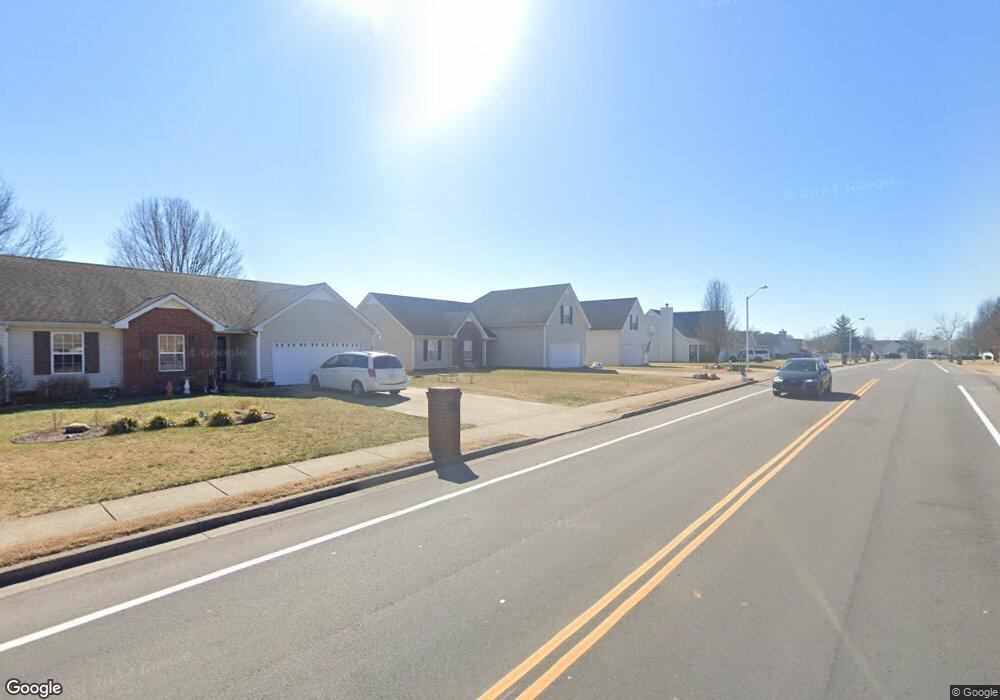
1199 Saint Andrews Dr Murfreesboro, TN 37128
Estimated Value: $326,000 - $372,000
--
Bed
2
Baths
1,611
Sq Ft
$218/Sq Ft
Est. Value
About This Home
This home is located at 1199 Saint Andrews Dr, Murfreesboro, TN 37128 and is currently estimated at $350,913, approximately $217 per square foot. 1199 Saint Andrews Dr is a home located in Rutherford County with nearby schools including Cason Lane Academy, Rockvale Middle School, and Rockvale High School.
Ownership History
Date
Name
Owned For
Owner Type
Purchase Details
Closed on
Aug 1, 2001
Sold by
Ole South Properties Inc
Bought by
Holt Sandriel E
Current Estimated Value
Home Financials for this Owner
Home Financials are based on the most recent Mortgage that was taken out on this home.
Original Mortgage
$115,131
Outstanding Balance
$45,041
Interest Rate
7.19%
Estimated Equity
$305,872
Create a Home Valuation Report for This Property
The Home Valuation Report is an in-depth analysis detailing your home's value as well as a comparison with similar homes in the area
Home Values in the Area
Average Home Value in this Area
Purchase History
| Date | Buyer | Sale Price | Title Company |
|---|---|---|---|
| Holt Sandriel E | $119,400 | -- |
Source: Public Records
Mortgage History
| Date | Status | Borrower | Loan Amount |
|---|---|---|---|
| Open | Holt Sandriel E | $115,131 |
Source: Public Records
Tax History Compared to Growth
Tax History
| Year | Tax Paid | Tax Assessment Tax Assessment Total Assessment is a certain percentage of the fair market value that is determined by local assessors to be the total taxable value of land and additions on the property. | Land | Improvement |
|---|---|---|---|---|
| 2025 | $2,044 | $72,250 | $13,750 | $58,500 |
| 2024 | $2,044 | $72,250 | $13,750 | $58,500 |
| 2023 | $1,356 | $72,250 | $13,750 | $58,500 |
| 2022 | $1,168 | $72,250 | $13,750 | $58,500 |
| 2021 | $1,115 | $50,250 | $9,375 | $40,875 |
| 2020 | $1,115 | $50,250 | $9,375 | $40,875 |
| 2019 | $1,115 | $50,250 | $9,375 | $40,875 |
| 2018 | $1,532 | $50,250 | $0 | $0 |
| 2017 | $1,356 | $34,900 | $0 | $0 |
| 2016 | $1,356 | $34,900 | $0 | $0 |
| 2015 | $1,356 | $34,900 | $0 | $0 |
| 2014 | $868 | $34,900 | $0 | $0 |
| 2013 | -- | $35,450 | $0 | $0 |
Source: Public Records
Map
Nearby Homes
- 1518 Saint Andrews Dr
- 2940 Waywood Dr
- 1421 Rebecca Johns Dr
- 1442 Rebecca Johns Dr Unit V20
- 725 Stonetrace Dr
- 627 Tidesridge Ct
- 2905 Stonehedge Dr
- 1710 Locerbie Dr
- 647 Stonetrace Dr
- 3331 Alta Ln
- 3315 Alta Ln
- 412 Conhocken Ct
- 1541 Teresa Ln
- 2307 Katie Ct
- 1725 Satterfield Ct
- 1417 Ovaldale Dr
- 1419 Cason Trail
- 1823 Joben Dr
- 1712 Odessa Ave
- 2326 Amber Glen Dr
- 1245 Saint Andrews Dr
- 1195 Saint Andrews Dr
- 1206 Melvin Dr
- 1249 St Andrews Dr
- 1210 Melvin Dr
- 1191 Saint Andrews Dr
- 1249 Saint Andrews Dr
- 1202 Melvin Dr
- 1214 Melvin Dr
- 1146 Melvin Dr
- 1187 St Andrews Dr
- 1188 Saint Andrews Dr
- 1253 Saint Andrews Dr
- 1187 Saint Andrews Dr
- 1218 Melvin Dr
- 1142 Melvin Dr
- 1184 St Andrews Dr
- 1184 Saint Andrews Dr
- 1240 Saint Andrews Dr
- 1222 Melvin Dr