Estimated Value: $229,259 - $279,000
--
Bed
--
Bath
2,605
Sq Ft
$94/Sq Ft
Est. Value
About This Home
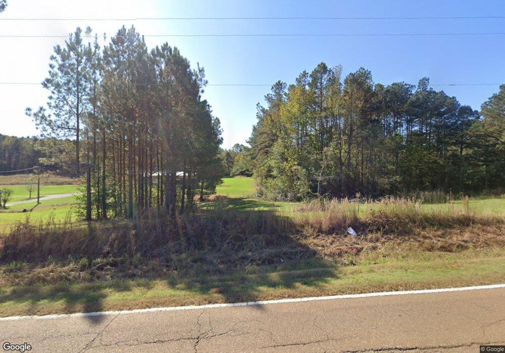
This home is located at 11995 Highway 492, Union, MS 39365 and is currently estimated at $245,815, approximately $94 per square foot. 11995 Highway 492 is a home with nearby schools including Union Elementary School, Union Middle School, and Union High School.
Ownership History
Date
Name
Owned For
Owner Type
Purchase Details
Closed on
Sep 19, 2012
Sold by
Wlech Wayne
Bought by
Richardson Joshua B and Richardson Erin L
Current Estimated Value
Purchase Details
Closed on
Aug 21, 2009
Sold by
Welch Wayne
Bought by
Richardson Joshua B and Richardson Erin L
Home Financials for this Owner
Home Financials are based on the most recent Mortgage that was taken out on this home.
Original Mortgage
$32,624
Interest Rate
5.19%
Create a Home Valuation Report for This Property
The Home Valuation Report is an in-depth analysis detailing your home's value as well as a comparison with similar homes in the area
Home Values in the Area
Average Home Value in this Area
Purchase History
| Date | Buyer | Sale Price | Title Company |
|---|---|---|---|
| Richardson Joshua B | -- | -- | |
| Richardson Joshua B | -- | -- |
Source: Public Records
Mortgage History
| Date | Status | Borrower | Loan Amount |
|---|---|---|---|
| Previous Owner | Richardson Joshua B | $32,624 |
Source: Public Records
Tax History Compared to Growth
Tax History
| Year | Tax Paid | Tax Assessment Tax Assessment Total Assessment is a certain percentage of the fair market value that is determined by local assessors to be the total taxable value of land and additions on the property. | Land | Improvement |
|---|---|---|---|---|
| 2025 | $1,064 | $16,424 | $0 | $0 |
| 2024 | $1,082 | $16,577 | $0 | $0 |
| 2023 | $1,676 | $16,577 | $0 | $0 |
| 2022 | $1,677 | $16,577 | $0 | $0 |
| 2021 | $1,448 | $15,595 | $0 | $0 |
| 2020 | $1,565 | $15,595 | $0 | $0 |
| 2019 | $1,527 | $15,595 | $0 | $0 |
| 2018 | $1,558 | $15,595 | $0 | $0 |
| 2017 | $1,574 | $15,711 | $0 | $0 |
| 2016 | $1,545 | $15,711 | $0 | $0 |
| 2015 | -- | $15,711 | $0 | $0 |
| 2014 | -- | $15,430 | $0 | $0 |
Source: Public Records
Map
Nearby Homes
- 0 Lakeview Dr
- 26 Lakeview Dr
- 408 North St
- 0 North St
- 309 Conehatta Rd
- 201 5th St
- 218 Fifth St
- 702 E Jackson Rd
- 704 E Jackson Rd
- 0 Mississippi 15
- 12061 Highway 21 S
- 83 Bill Willis Rd
- 66 Pete Freeman Rd
- 0 Stratton Rd
- 10511 Road 224
- 19763 Mississippi 15
- 3787 Erin Lucern Rd
- 4188 Greenland Rd
- 000 Greenland Rd
- 0 Roger Reid Rd
- 11918 Highway 492
- 11984 Highway 492
- 11984 Highway 492 None
- 12138 Mississippi 492
- 12138 Highway 492
- 11852 Highway 492
- 12187 Highway 492
- 11781 Highway 492
- 473 Lakeview Dr
- 11776 Highway 492
- 11792 Highway 492
- 12247 Highway 492
- 31 Shoreline Dr
- 11746 Highway 492
- 411 Lakeview Dr
- 405 W Jackson Rd
- 12190 Highway 492
- 10370 Highway 492 E
- 404 W Jackson Rd
- 60 Shoreline Dr