119A Muggett Hill Rd Charlton, MA 01507
Estimated Value: $520,000 - $736,000
3
Beds
3
Baths
3,200
Sq Ft
$203/Sq Ft
Est. Value
About This Home
This home is located at 119A Muggett Hill Rd, Charlton, MA 01507 and is currently estimated at $648,246, approximately $202 per square foot. 119A Muggett Hill Rd is a home located in Worcester County with nearby schools including Shepherd Hill Regional High School.
Ownership History
Date
Name
Owned For
Owner Type
Purchase Details
Closed on
Feb 26, 2020
Sold by
Garcia Michael R and Garcia Christine E
Bought by
Mcg T
Current Estimated Value
Purchase Details
Closed on
Jun 24, 2019
Sold by
Olaf R Garcia Ft and Garcia
Bought by
Leger John W
Home Financials for this Owner
Home Financials are based on the most recent Mortgage that was taken out on this home.
Original Mortgage
$30,000
Interest Rate
4.1%
Mortgage Type
New Conventional
Purchase Details
Closed on
Nov 8, 2018
Sold by
Garcia Michael R and Garcia Chrisine E
Bought by
Garcia Olaf R and Garcia Nnacy R
Create a Home Valuation Report for This Property
The Home Valuation Report is an in-depth analysis detailing your home's value as well as a comparison with similar homes in the area
Home Values in the Area
Average Home Value in this Area
Purchase History
| Date | Buyer | Sale Price | Title Company |
|---|---|---|---|
| Mcg T | -- | None Available | |
| Mcg T | -- | None Available | |
| Leger John W | $30,000 | -- | |
| Leger John W | $30,000 | -- | |
| Garcia Olaf R | -- | -- | |
| Garcia Olaf R | -- | -- |
Source: Public Records
Mortgage History
| Date | Status | Borrower | Loan Amount |
|---|---|---|---|
| Previous Owner | Leger John W | $30,000 |
Source: Public Records
Tax History Compared to Growth
Tax History
| Year | Tax Paid | Tax Assessment Tax Assessment Total Assessment is a certain percentage of the fair market value that is determined by local assessors to be the total taxable value of land and additions on the property. | Land | Improvement |
|---|---|---|---|---|
| 2025 | $6,154 | $552,900 | $92,100 | $460,800 |
| 2024 | $5,944 | $524,200 | $88,600 | $435,600 |
| 2023 | $5,340 | $438,800 | $82,400 | $356,400 |
| 2022 | $5,158 | $388,100 | $80,200 | $307,900 |
| 2021 | $5,410 | $360,400 | $78,400 | $282,000 |
| 2020 | $5,295 | $354,400 | $72,400 | $282,000 |
| 2019 | $5,364 | $363,200 | $72,400 | $290,800 |
| 2018 | $4,903 | $363,200 | $72,400 | $290,800 |
| 2017 | $4,781 | $339,100 | $66,400 | $272,700 |
| 2016 | $4,673 | $339,100 | $66,400 | $272,700 |
| 2015 | $4,551 | $339,100 | $66,400 | $272,700 |
| 2014 | $3,955 | $312,400 | $70,700 | $241,700 |
Source: Public Records
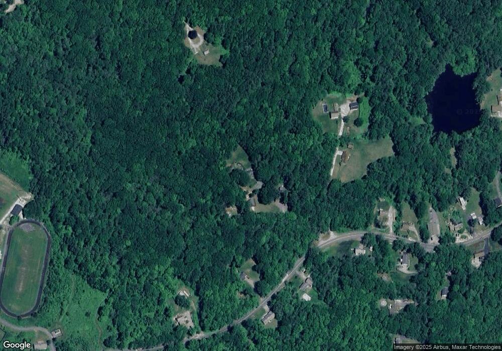
Map
Nearby Homes
- 13 Boucher Dr
- 8 Northside Rd
- 5 Northside Rd
- 18 Old Worcester Rd
- 7 L Stevens Rd Unit A
- 7 L Stevens Rd Unit B
- 25 N Main St Unit A
- 0 Freeman Rd Unit 73369281
- 105 Carroll Hill Rd
- 102 Worcester Rd
- 58 Colburn Rd
- 0 Trolley Crossing Rd
- 40 Carroll Hill Rd
- 91 Burlingame Rd
- 0 Oxbow Rd
- 44 Buffum Rd
- 71 Bay Path Rd
- 0 Partridge Hill Rd
- 7 Little Muggett Rd
- 5 Carpenter Hill Rd
- 119 Muggett Hill Rd
- 6 Dodge Ln
- 15 Dodge Ln
- 15 Dodge Ln Unit a & b
- 125 Muggett Hill Rd
- 114 Muggett Hill Rd
- 126 Muggett Hill Rd
- 109 Muggett Hill Rd
- 127 Muggett Hill Rd
- 105B Old Worcester Rd
- 110 Muggett Hill Rd
- 6 Bond Rd
- 2 Bond Rd
- 128 Muggett Hill Rd
- 99 Muggett Hill Rd
- 3 Bond Rd
- 131 Muggett Hill Rd Unit 5
- 131 Muggett Hill Rd Unit 4
- 131 Muggett Hill Rd Unit 1
- 131 Muggett Hill Rd Unit 6