Estimated Value: $534,000 - $817,000
6
Beds
3
Baths
2,012
Sq Ft
$353/Sq Ft
Est. Value
About This Home
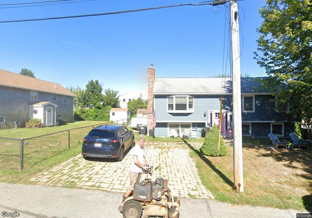
This home is located at 11A Lincoln Ave, Hull, MA 02045 and is currently estimated at $709,826, approximately $352 per square foot. 11A Lincoln Ave is a home located in Plymouth County with nearby schools including Lillian M. Jacobs Elementary School, Memorial Middle School, and Hull High School.
Ownership History
Date
Name
Owned For
Owner Type
Purchase Details
Closed on
Mar 1, 2006
Sold by
Mastrangelo Paul E
Bought by
Oconnor Patrick and Mastrangelo Caryn
Current Estimated Value
Home Financials for this Owner
Home Financials are based on the most recent Mortgage that was taken out on this home.
Original Mortgage
$215,000
Outstanding Balance
$121,437
Interest Rate
6.16%
Mortgage Type
Purchase Money Mortgage
Estimated Equity
$588,389
Create a Home Valuation Report for This Property
The Home Valuation Report is an in-depth analysis detailing your home's value as well as a comparison with similar homes in the area
Home Values in the Area
Average Home Value in this Area
Purchase History
| Date | Buyer | Sale Price | Title Company |
|---|---|---|---|
| Oconnor Patrick | $268,750 | -- |
Source: Public Records
Mortgage History
| Date | Status | Borrower | Loan Amount |
|---|---|---|---|
| Open | Oconnor Patrick | $50,000 | |
| Open | Oconnor Patrick | $215,000 | |
| Previous Owner | Oconnor Patrick | $75,000 |
Source: Public Records
Tax History Compared to Growth
Tax History
| Year | Tax Paid | Tax Assessment Tax Assessment Total Assessment is a certain percentage of the fair market value that is determined by local assessors to be the total taxable value of land and additions on the property. | Land | Improvement |
|---|---|---|---|---|
| 2025 | $5,891 | $526,000 | $213,900 | $312,100 |
| 2024 | $5,924 | $508,500 | $207,000 | $301,500 |
| 2023 | $5,806 | $477,100 | $193,200 | $283,900 |
| 2022 | $5,733 | $457,200 | $179,400 | $277,800 |
| 2021 | $5,535 | $436,500 | $158,700 | $277,800 |
| 2020 | $5,187 | $404,600 | $158,700 | $245,900 |
| 2019 | $5,075 | $388,900 | $151,800 | $237,100 |
| 2018 | $5,149 | $383,700 | $151,800 | $231,900 |
| 2017 | $4,928 | $359,200 | $151,800 | $207,400 |
| 2016 | $4,700 | $348,700 | $151,800 | $196,900 |
| 2015 | $4,521 | $324,300 | $127,600 | $196,700 |
| 2014 | $4,326 | $311,900 | $127,600 | $184,300 |
Source: Public Records
Map
Nearby Homes
- 15 Lincoln Ave
- 134 Hampton Cir
- 14 Standish Rd
- 92 Hampton Cir
- 67 Hampton Cir
- 61 Barnstable Rd
- 68 Edgewater Rd
- 67 Whitehead Ave
- 15 2nd St
- 2 6th St
- 15 Park Ave Unit 307
- 22 Berkley Rd Unit C
- 22 Berkley Rd Unit B
- 155 Nantasket Ave Unit B402
- 40 Rockaway Ave
- 4 Atherton Rd
- 19 Berkley Rd
- 23 Wyola Rd
- 20 Rockland House Rd Unit 203
- 120 Nantasket Ave Unit 304
- 11 Lincoln Ave
- 12 Old Colony Rd
- 122 Hampton Cir
- 10 Old Colony Rd
- 10 Old Colony Rd
- 17 Lincoln Ave
- 12 Lincoln Ave
- 8 Old Colony Rd
- 120 Hampton Cir
- 8A Lincoln Ave
- 130 Hampton Cir
- 10 Lincoln Ave
- 13 Standish Rd
- 8 Lincoln Ave
- 5 Lincoln Ave
- 6 Old Colony Rd
- 11 Standish Rd
- 112 Hampton Cir
- 15 Standish Rd
- 121 Hampton Cir