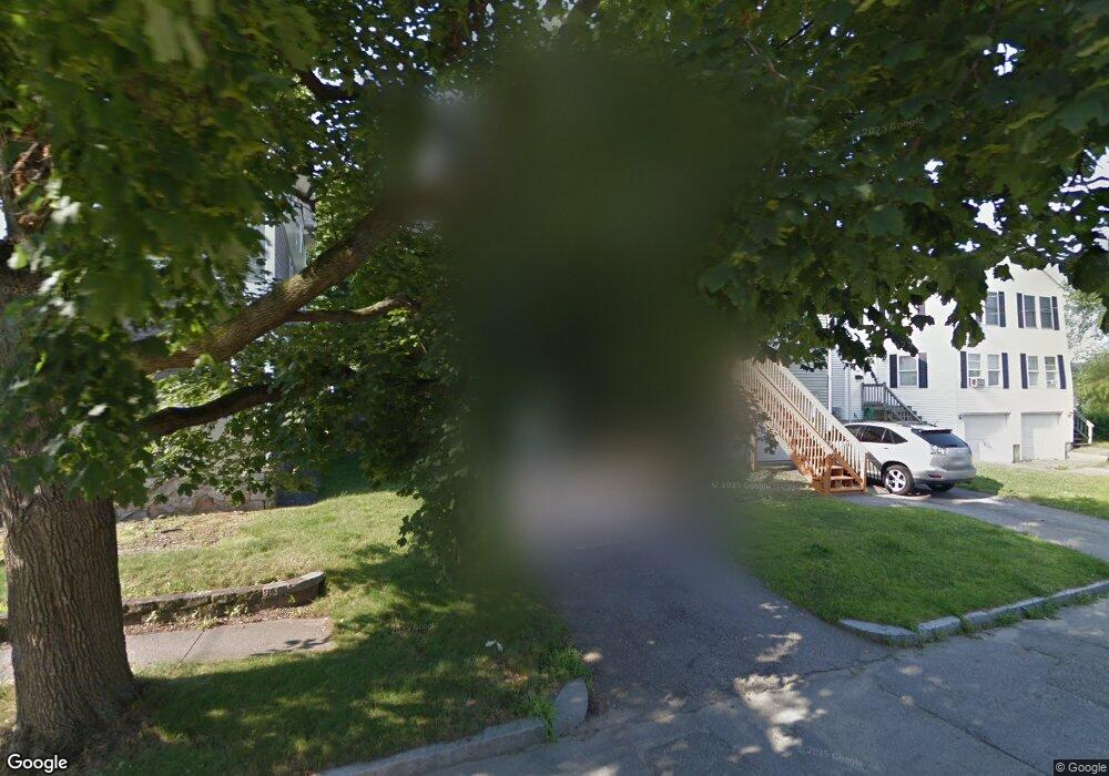
11B Stowell Ave Worcester, MA 01606
Indian Lake East NeighborhoodEstimated Value: $452,000 - $469,000
3
Beds
2
Baths
1,408
Sq Ft
$327/Sq Ft
Est. Value
About This Home
This home is located at 11B Stowell Ave, Worcester, MA 01606 and is currently estimated at $460,904, approximately $327 per square foot. 11B Stowell Ave is a home located in Worcester County with nearby schools including Francis J. McGrath Elementary School, Jacob Hiatt Magnet School, and Chandler Magnet.
Ownership History
Date
Name
Owned For
Owner Type
Purchase Details
Closed on
Apr 10, 2025
Sold by
Payne Thomas and Sullivan Jill
Bought by
Kops Mary C
Current Estimated Value
Home Financials for this Owner
Home Financials are based on the most recent Mortgage that was taken out on this home.
Original Mortgage
$437,000
Outstanding Balance
$434,327
Interest Rate
6.76%
Mortgage Type
Purchase Money Mortgage
Estimated Equity
$26,577
Purchase Details
Closed on
Dec 12, 2024
Sold by
Dearn Michael J and Dearn Kelly L
Bought by
Sullivan Jill and Payne Thomas
Purchase Details
Closed on
May 18, 2016
Sold by
Waweru Susan M and Waweru Michael
Bought by
Dearn Michael J and Dearn Kelly L
Home Financials for this Owner
Home Financials are based on the most recent Mortgage that was taken out on this home.
Original Mortgage
$185,250
Interest Rate
3.59%
Mortgage Type
New Conventional
Purchase Details
Closed on
Jul 18, 2006
Sold by
Zielinska Anna and Zielinski Piotr
Bought by
Waweru Michael and Waweru Susan M
Home Financials for this Owner
Home Financials are based on the most recent Mortgage that was taken out on this home.
Original Mortgage
$237,800
Interest Rate
6.71%
Mortgage Type
Purchase Money Mortgage
Create a Home Valuation Report for This Property
The Home Valuation Report is an in-depth analysis detailing your home's value as well as a comparison with similar homes in the area
Home Values in the Area
Average Home Value in this Area
Purchase History
| Date | Buyer | Sale Price | Title Company |
|---|---|---|---|
| Kops Mary C | $460,000 | None Available | |
| Sullivan Jill | $305,000 | None Available | |
| Dearn Michael J | $195,000 | -- | |
| Waweru Michael | $246,500 | -- | |
| Dearn Michael J | $195,000 | -- | |
| Waweru Michael | $246,500 | -- |
Source: Public Records
Mortgage History
| Date | Status | Borrower | Loan Amount |
|---|---|---|---|
| Open | Kops Mary C | $437,000 | |
| Previous Owner | Dearn Michael J | $185,250 | |
| Previous Owner | Waweru Michael | $237,800 | |
| Previous Owner | Waweru Michael | $148,982 | |
| Previous Owner | Waweru Michael | $150,000 |
Source: Public Records
Tax History Compared to Growth
Tax History
| Year | Tax Paid | Tax Assessment Tax Assessment Total Assessment is a certain percentage of the fair market value that is determined by local assessors to be the total taxable value of land and additions on the property. | Land | Improvement |
|---|---|---|---|---|
| 2025 | $4,787 | $362,900 | $84,000 | $278,900 |
| 2024 | $4,538 | $330,000 | $84,000 | $246,000 |
| 2023 | $4,316 | $301,000 | $73,000 | $228,000 |
| 2022 | $3,936 | $258,800 | $58,400 | $200,400 |
| 2021 | $3,805 | $233,700 | $46,700 | $187,000 |
| 2020 | $3,749 | $220,500 | $46,800 | $173,700 |
| 2019 | $3,611 | $200,600 | $42,100 | $158,500 |
| 2018 | $3,610 | $190,900 | $42,100 | $148,800 |
| 2017 | $3,419 | $177,900 | $42,100 | $135,800 |
| 2016 | $3,087 | $149,800 | $31,900 | $117,900 |
| 2015 | $3,006 | $149,800 | $31,900 | $117,900 |
| 2014 | $2,927 | $149,800 | $31,900 | $117,900 |
Source: Public Records
Map
Nearby Homes
- 2 Stowell Ave Unit A
- 44 Boardman St
- 30 Boardman St
- 15 Boardman St
- 42 Hastings Ave
- 46 Hastings Ave
- 93 W Boylston St
- 89 W Boylston St Unit 4
- 87 W Boylston St
- 15 Ericsson St
- 12 Alexander Rd
- 11 Gifford Dr
- 34 King Philip Rd
- 28 Holden St
- 0 Grove St
- 612 Grove St
- 48 Wilkinson St
- 577 Grove St
- 11 Hockanum Way
- 15 Cheyenne Rd