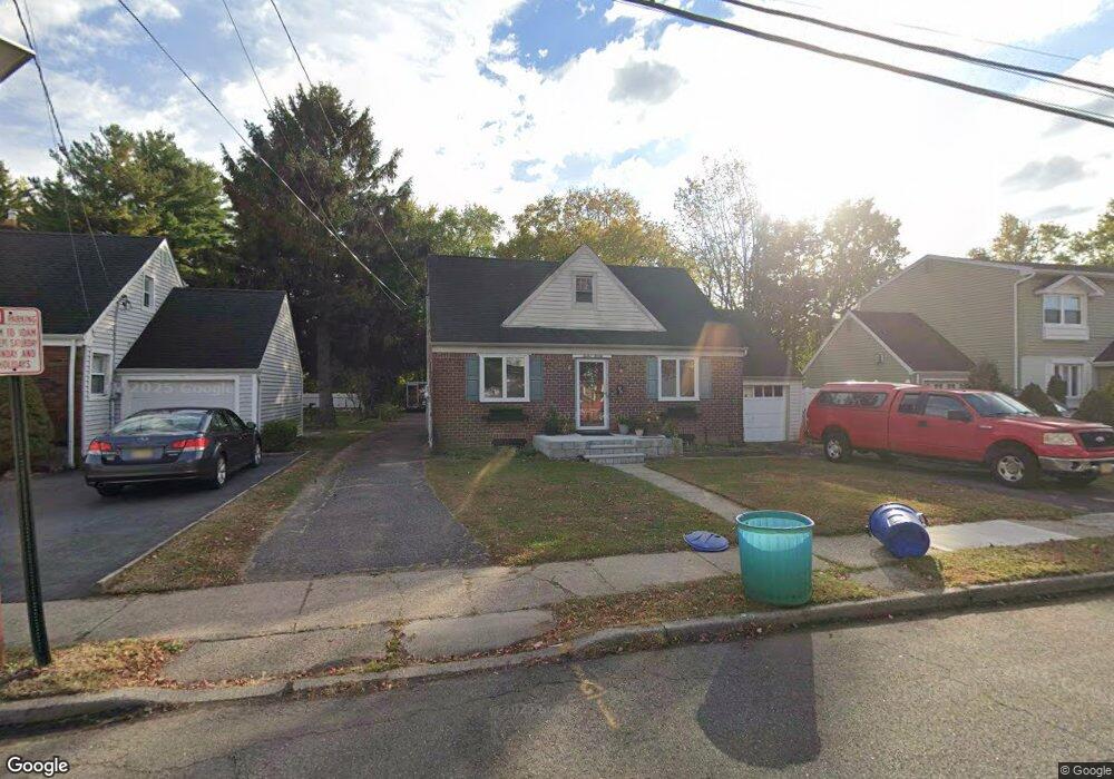
12-20 Eastern Dr Unit 1X Fair Lawn, NJ 07410
Estimated Value: $580,436 - $655,000
Studio
--
Bath
1,576
Sq Ft
$398/Sq Ft
Est. Value
About This Home
This home is located at 12-20 Eastern Dr Unit 1X, Fair Lawn, NJ 07410 and is currently estimated at $627,109, approximately $397 per square foot. 12-20 Eastern Dr Unit 1X is a home located in Bergen County with nearby schools including John A. Forrest Elementary School, Memorial Middle School, and Fair Lawn High School.
Ownership History
Date
Name
Owned For
Owner Type
Purchase Details
Closed on
Apr 25, 2017
Sold by
Sicinski Julie Ann and Saner Julie
Bought by
Saner Julie and Saner Michael
Current Estimated Value
Purchase Details
Closed on
Jul 30, 1997
Sold by
Zdanowitz Rena and Zdanowitz Milton
Bought by
Peterson Kathleen
Home Financials for this Owner
Home Financials are based on the most recent Mortgage that was taken out on this home.
Original Mortgage
$126,400
Outstanding Balance
$18,563
Interest Rate
7.31%
Mortgage Type
Purchase Money Mortgage
Estimated Equity
$608,546
Purchase Details
Closed on
Feb 28, 1994
Sold by
Corring Charles and Corring Valerie
Bought by
Saner Christopher and Sicinski Julie Ann
Home Financials for this Owner
Home Financials are based on the most recent Mortgage that was taken out on this home.
Original Mortgage
$135,000
Interest Rate
7.01%
Mortgage Type
Purchase Money Mortgage
Create a Home Valuation Report for This Property
The Home Valuation Report is an in-depth analysis detailing your home's value as well as a comparison with similar homes in the area
Home Values in the Area
Average Home Value in this Area
Purchase History
| Date | Buyer | Sale Price | Title Company |
|---|---|---|---|
| Saner Julie | -- | Safe Land Title Agency | |
| Peterson Kathleen | $158,000 | -- | |
| Saner Christopher | $185,900 | -- |
Source: Public Records
Mortgage History
| Date | Status | Borrower | Loan Amount |
|---|---|---|---|
| Open | Peterson Kathleen | $126,400 | |
| Previous Owner | Saner Christopher | $135,000 |
Source: Public Records
Tax History
| Year | Tax Paid | Tax Assessment Tax Assessment Total Assessment is a certain percentage of the fair market value that is determined by local assessors to be the total taxable value of land and additions on the property. | Land | Improvement |
|---|---|---|---|---|
| 2025 | $10,232 | $288,300 | $157,800 | $130,500 |
| 2024 | $10,076 | $288,300 | $157,800 | $130,500 |
| 2023 | $9,955 | $288,300 | $157,800 | $130,500 |
| 2022 | $9,955 | $288,300 | $157,800 | $130,500 |
| 2021 | $9,964 | $288,300 | $157,800 | $130,500 |
| 2020 | $9,889 | $288,300 | $157,800 | $130,500 |
| 2019 | $9,716 | $288,300 | $157,800 | $130,500 |
| 2018 | $9,537 | $288,300 | $157,800 | $130,500 |
| 2017 | $9,301 | $288,300 | $157,800 | $130,500 |
| 2016 | $9,044 | $288,300 | $157,800 | $130,500 |
| 2015 | $8,874 | $288,300 | $157,800 | $130,500 |
| 2014 | $8,724 | $288,300 | $157,800 | $130,500 |
Source: Public Records
Map
Nearby Homes
- 12-41 Western Dr Unit 1X
- 80 Landmark Ln
- 55 Landmark Ln
- 32 Litchfield Ln Unit 403
- 24 Ryder Rd Unit 1X
- 25-18 High St
- 25-18 High St Unit A
- 15-26 Elmary Place Unit 1X
- 15-47 Elmary Place Unit 1X
- 4-46 Boyd Ave Unit 1X
- 26-14 Morlot Ave Unit 1X
- 7-01 Bellair Ave
- 8-10 Morlot Ave Unit 1X
- 27-10 Urban Place Unit 1X
- 30-13 High St Unit 1X
- 6-10 River Rd
- 30-06 Morlot Ave Unit 1X
- 364 Owen Ave Unit 1X
- 11-05 4th St Unit 1X
- 28-07 Zachary Terrace Unit 1X
- 12-24 Eastern Dr Unit 1X
- 12-16 Eastern Dr Unit 1X
- 12-28 Eastern Dr Unit 1X
- 12-12 Eastern Dr Unit 1X
- 12-10 20th St Unit 1X
- 12-32 Eastern Dr Unit 1X
- 12-21 Eastern Dr Unit 1X
- 12-12 20th St Unit 1X
- 12-25 Eastern Dr Unit 1X
- 12-36 Eastern Dr Unit 1X
- 12-16 20th St Unit 1X
- 12-31 Eastern Dr Unit 1X
- 13 Eastern Dr
- 13 Eastern Dr 1x
- 12-06 20th St Unit 1X
- 12-08 20th St Unit 1X
- 12 20th St
- 12-37 Eastern Dr Unit 1X
- 12-20 20th St Unit 1X
- 12-40 Eastern Dr Unit 1X
Your Personal Tour Guide
Ask me questions while you tour the home.