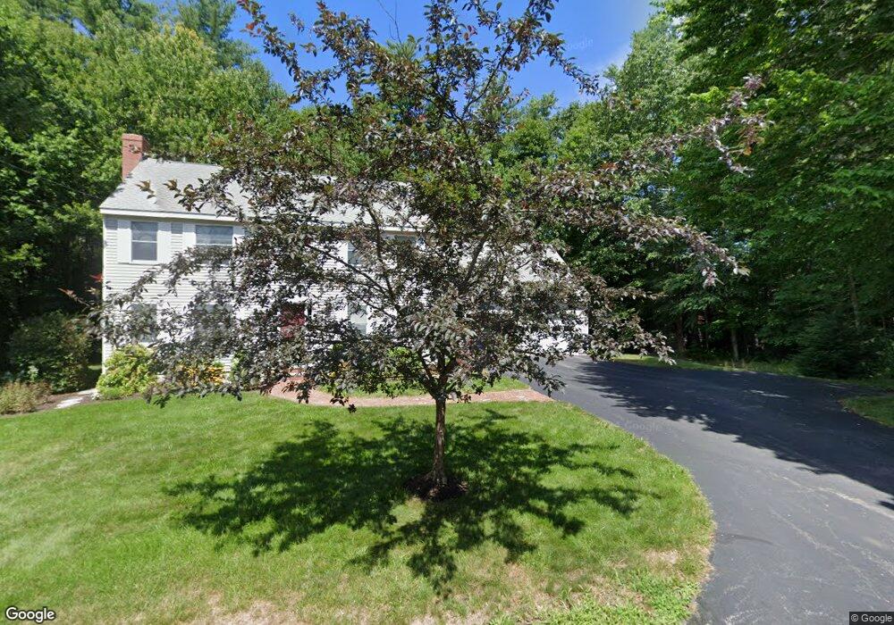
12 Adams Cir Durham, NH 03824
Estimated Value: $783,496 - $924,000
4
Beds
5
Baths
2,652
Sq Ft
$333/Sq Ft
Est. Value
About This Home
This home is located at 12 Adams Cir, Durham, NH 03824 and is currently estimated at $883,874, approximately $333 per square foot. 12 Adams Cir is a home located in Strafford County with nearby schools including Mast Way School, Oyster River Middle School, and Oyster River High School.
Create a Home Valuation Report for This Property
The Home Valuation Report is an in-depth analysis detailing your home's value as well as a comparison with similar homes in the area
Home Values in the Area
Average Home Value in this Area
Tax History Compared to Growth
Tax History
| Year | Tax Paid | Tax Assessment Tax Assessment Total Assessment is a certain percentage of the fair market value that is determined by local assessors to be the total taxable value of land and additions on the property. | Land | Improvement |
|---|---|---|---|---|
| 2024 | $13,497 | $663,900 | $242,600 | $421,300 |
| 2023 | $13,597 | $663,900 | $242,600 | $421,300 |
| 2022 | $11,689 | $402,500 | $131,400 | $271,100 |
| 2021 | $11,234 | $402,500 | $131,400 | $271,100 |
| 2020 | $11,161 | $402,500 | $131,400 | $271,100 |
| 2019 | $11,041 | $402,500 | $131,400 | $271,100 |
| 2018 | $10,786 | $402,500 | $131,400 | $271,100 |
| 2017 | $9,944 | $335,100 | $91,100 | $244,000 |
| 2016 | $9,963 | $335,100 | $91,100 | $244,000 |
| 2015 | $10,003 | $335,100 | $91,100 | $244,000 |
| 2014 | $10,227 | $335,100 | $91,100 | $244,000 |
| 2013 | $10,190 | $335,100 | $91,100 | $244,000 |
Source: Public Records
Map
Nearby Homes
- 25 Emerson Rd
- 0 Emerson Rd Unit 10
- 32 Woodman Rd
- 3-7 Jenkins Ct
- 275-279 Mast Rd
- 7 Beards Landing
- 11 Young Dr
- 14 Young Dr
- 10 Young Dr
- 9 Young Dr
- 3 Ambler Way
- 31 Faculty Rd
- 0 Beech Hill Rd Unit 201-02-0-0-0,204-10-
- 17 Foss Farm Rd
- 1 Riverview Ct
- 34 Victory Way
- 30 Ffrost Dr
- 54 Cielo Dr
- 88 Durham Point Rd
- 7 Fancy Hill