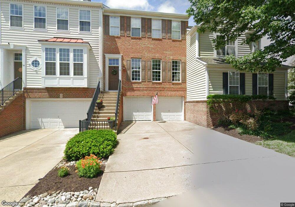
12 Addison Ct Unit 2505 Doylestown, PA 18901
Estimated Value: $601,860 - $650,000
3
Beds
3
Baths
2,084
Sq Ft
$304/Sq Ft
Est. Value
About This Home
This home is located at 12 Addison Ct Unit 2505, Doylestown, PA 18901 and is currently estimated at $633,715, approximately $304 per square foot. 12 Addison Ct Unit 2505 is a home located in Bucks County with nearby schools including Kutz Elementary School, Lenape Middle School, and Central Bucks High School-West.
Ownership History
Date
Name
Owned For
Owner Type
Purchase Details
Closed on
Mar 7, 2005
Sold by
Agree Jonathan K
Bought by
Coleman Keith and Coleman Beth
Current Estimated Value
Home Financials for this Owner
Home Financials are based on the most recent Mortgage that was taken out on this home.
Original Mortgage
$304,000
Outstanding Balance
$155,038
Interest Rate
5.7%
Mortgage Type
Fannie Mae Freddie Mac
Estimated Equity
$478,677
Create a Home Valuation Report for This Property
The Home Valuation Report is an in-depth analysis detailing your home's value as well as a comparison with similar homes in the area
Home Values in the Area
Average Home Value in this Area
Purchase History
| Date | Buyer | Sale Price | Title Company |
|---|---|---|---|
| Coleman Keith | $380,000 | -- |
Source: Public Records
Mortgage History
| Date | Status | Borrower | Loan Amount |
|---|---|---|---|
| Open | Coleman Keith | $304,000 |
Source: Public Records
Tax History
| Year | Tax Paid | Tax Assessment Tax Assessment Total Assessment is a certain percentage of the fair market value that is determined by local assessors to be the total taxable value of land and additions on the property. | Land | Improvement |
|---|---|---|---|---|
| 2025 | $7,192 | $40,640 | -- | $40,640 |
| 2024 | $7,192 | $40,640 | $0 | $40,640 |
| 2023 | $6,858 | $40,640 | $0 | $40,640 |
| 2022 | $6,781 | $40,640 | $0 | $40,640 |
| 2021 | $6,642 | $40,640 | $0 | $40,640 |
| 2020 | $6,611 | $40,640 | $0 | $40,640 |
| 2019 | $6,540 | $40,640 | $0 | $40,640 |
| 2018 | $6,520 | $40,640 | $0 | $40,640 |
| 2017 | $6,469 | $40,640 | $0 | $40,640 |
| 2016 | -- | $40,640 | $0 | $40,640 |
| 2015 | -- | $40,640 | $0 | $40,640 |
| 2014 | -- | $40,640 | $0 | $40,640 |
Source: Public Records
Map
Nearby Homes
- 14 Addison Ct Unit 2504
- 60 Quarry Rd
- 137 Pebble Woods Dri Pebble Woods Dr
- 112 Steeplechase Dr
- 78 Tower Hill Rd
- 4 Sunrise Dr
- 137 Wells Rd
- 1 Steeplechase Dr
- 45 Bedford Ave
- 2401 Lower State Rd Unit 102
- 11-13 Aspen Way Unit 1113
- 168 Shady Brook Cir
- 9 Mill Creek Dr
- 195 Lafayette St
- 45 Latham Ct Unit 45
- 33 Hibiscus Ct Unit 33
- 236 Green St
- 163 Progress Dr
- 60 Pebble Ridge Rd
- 703 Eagle Ln
- 10 Addison Ct Unit 2506
- 16 Addison Ct Unit 2503
- 18 Addison Ct Unit 2502
- 20 Addison Ct Unit 2501
- 8 Addison Ct Unit 2601
- 15 Addison Ct Unit 2704
- 6 Addison Ct Unit 2602
- 66 Avalon Ct Unit 2102
- 13 Addison Ct Unit 2705
- 64 Avalon Ct Unit 2101
- 68 Avalon Ct Unit 2103
- 72 Avalon Ct Unit 2105
- 19 Addison Ct Unit 2702
- 11 Addison Ct Unit 2706
- 4 Addison Ct Unit 2603
- 62 Avalon Ct Unit 2204
- 21 Addison Ct Unit 2701
- 22 Addison Ct Unit 2406
- 2 Addison Ct Unit 2604
- 60 Avalon Ct Unit 2203
Your Personal Tour Guide
Ask me questions while you tour the home.