12 Baker Cir Fryeburg, ME 04037
Estimated Value: $354,000 - $412,000
3
Beds
2
Baths
1,552
Sq Ft
$246/Sq Ft
Est. Value
About This Home
This home is located at 12 Baker Cir, Fryeburg, ME 04037 and is currently estimated at $381,323, approximately $245 per square foot. 12 Baker Cir is a home located in Oxford County with nearby schools including Molly Ockett School and Molly Ockett Middle School.
Ownership History
Date
Name
Owned For
Owner Type
Purchase Details
Closed on
Mar 19, 2009
Sold by
Brooking Wayne A and Brooking Jennifer M
Bought by
Jones Kevin R and Jones Deborah J
Current Estimated Value
Home Financials for this Owner
Home Financials are based on the most recent Mortgage that was taken out on this home.
Original Mortgage
$92,000
Outstanding Balance
$39,567
Interest Rate
5.25%
Mortgage Type
Unknown
Estimated Equity
$341,756
Purchase Details
Closed on
May 9, 2005
Sold by
Fhlmc
Bought by
Brooking Wayne A and Brooking Jennifer M
Create a Home Valuation Report for This Property
The Home Valuation Report is an in-depth analysis detailing your home's value as well as a comparison with similar homes in the area
Home Values in the Area
Average Home Value in this Area
Purchase History
| Date | Buyer | Sale Price | Title Company |
|---|---|---|---|
| Jones Kevin R | -- | -- | |
| Brooking Wayne A | -- | -- |
Source: Public Records
Mortgage History
| Date | Status | Borrower | Loan Amount |
|---|---|---|---|
| Open | Jones Kevin R | $92,000 |
Source: Public Records
Tax History Compared to Growth
Tax History
| Year | Tax Paid | Tax Assessment Tax Assessment Total Assessment is a certain percentage of the fair market value that is determined by local assessors to be the total taxable value of land and additions on the property. | Land | Improvement |
|---|---|---|---|---|
| 2024 | $3,171 | $232,320 | $43,620 | $188,700 |
| 2023 | $2,901 | $175,800 | $31,400 | $144,400 |
| 2022 | $2,690 | $175,800 | $31,400 | $144,400 |
| 2021 | $2,725 | $175,800 | $31,400 | $144,400 |
| 2020 | $2,848 | $175,800 | $31,400 | $144,400 |
| 2019 | $2,586 | $153,906 | $45,560 | $108,346 |
| 2018 | $2,716 | $153,906 | $45,560 | $108,346 |
| 2017 | $2,471 | $148,861 | $45,560 | $103,301 |
| 2016 | $2,412 | $148,861 | $45,560 | $103,301 |
| 2015 | $2,382 | $148,861 | $45,560 | $103,301 |
| 2014 | $2,397 | $148,861 | $45,560 | $103,301 |
Source: Public Records
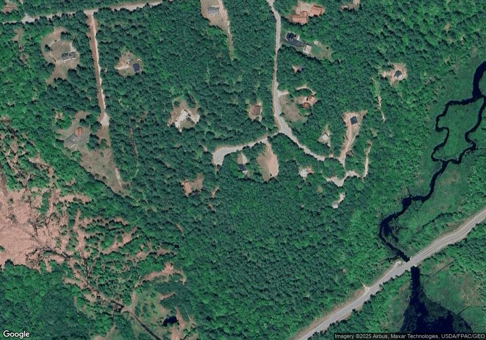
Map
Nearby Homes
- 1376 Bridgton Rd
- Map20Lot19 Carter Hill Rd
- 28 Colony Ln
- 952 Denmark Rd
- 144 Kezar Heights
- 97 Kezar Heights
- 4 Mountain Rd Unit 4
- 5 Elk Ln
- 188 Knights Hill Rd
- 11 Campbell Dr
- 10 N Bay Rd
- 14 Trailside Way Unit 14
- 14 Trailside Way
- 6 E Pinnacle Rd Unit 6
- 141 Long Pond Dr
- 62-B Long Pond Dr
- 632 Rocky Knoll Rd
- 294 Hio Ridge Shores S
- 247 Smarts Hill Rd
- 89 Mountain View Rd
- 19 Baker Cir
- 17 Baker Cir
- Lot 10-3 Bakers Cir
- 3 Baker Cir
- 47 S Elkins Brook Rd
- 28 S Elkins Brook Rd
- 53 S Elkins Brook Rd
- 57 S South Elkins Brook Rd
- 61 S Elkins Brook Rd
- 20 S Elkins Brook Rd
- 103 Sanborn Rd
- 16 S Elkins Brook Rd
- 16 S Elkins Brook Rd
- 14 Tall Pine Terrace
- 0 Carter Hill Rd Unit 539579
- 0 Carter Hill Rd Unit 4159932
- 0 Carter Hill Rd Unit 265389
- 0 Carter Hill Rd Unit 259566
- 0 Carter Hill Rd Unit 1055198
- 0 Tall Pine Terrace