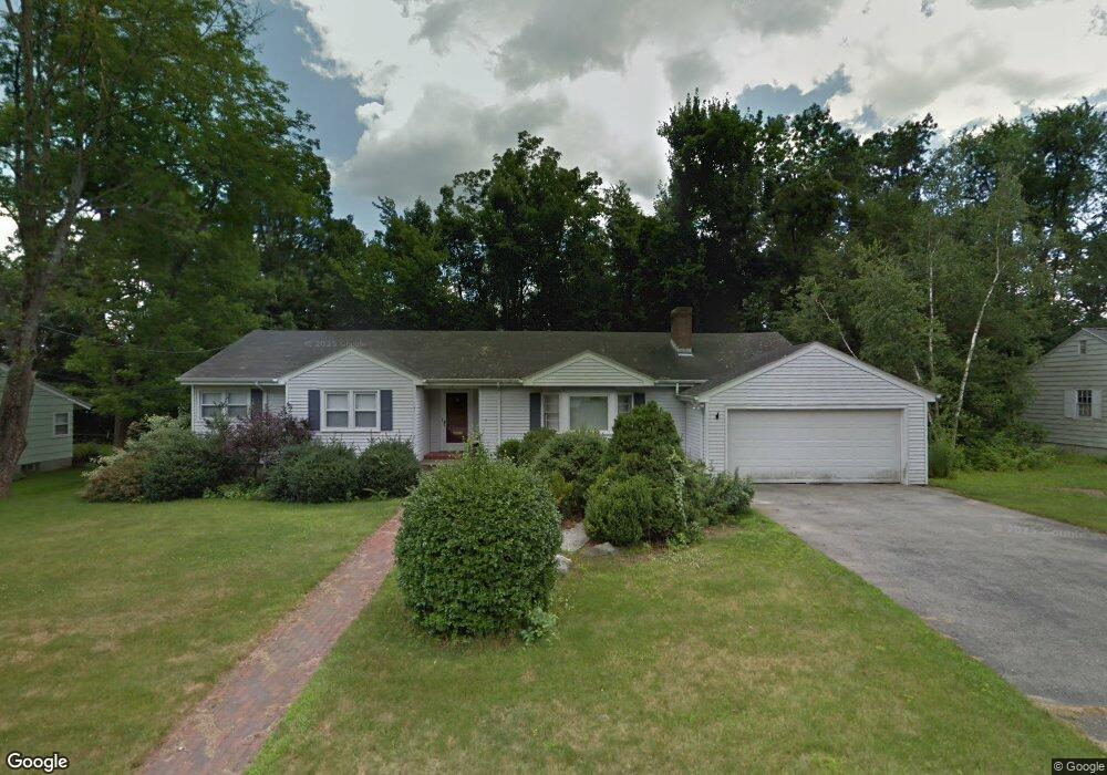
12 Barry Rd Worcester, MA 01609
Forest Grove NeighborhoodEstimated Value: $582,000 - $678,000
4
Beds
3
Baths
2,338
Sq Ft
$269/Sq Ft
Est. Value
About This Home
This home is located at 12 Barry Rd, Worcester, MA 01609 and is currently estimated at $629,751, approximately $269 per square foot. 12 Barry Rd is a home located in Worcester County with nearby schools including Chandler Magnet, Jacob Hiatt Magnet School, and Flagg Street School.
Ownership History
Date
Name
Owned For
Owner Type
Purchase Details
Closed on
Dec 15, 2006
Sold by
Halloran John A and Halloran Sherry P
Bought by
Higgins Andrew
Current Estimated Value
Home Financials for this Owner
Home Financials are based on the most recent Mortgage that was taken out on this home.
Original Mortgage
$264,000
Interest Rate
6.31%
Mortgage Type
Purchase Money Mortgage
Purchase Details
Closed on
Mar 13, 2002
Sold by
Peterson Gladys M
Bought by
Halloran John A and Halloran Sherry P
Home Financials for this Owner
Home Financials are based on the most recent Mortgage that was taken out on this home.
Original Mortgage
$110,000
Interest Rate
7.04%
Mortgage Type
Purchase Money Mortgage
Purchase Details
Closed on
Aug 8, 1989
Sold by
Levine Kenneth
Bought by
Peterson Gladys
Create a Home Valuation Report for This Property
The Home Valuation Report is an in-depth analysis detailing your home's value as well as a comparison with similar homes in the area
Home Values in the Area
Average Home Value in this Area
Purchase History
| Date | Buyer | Sale Price | Title Company |
|---|---|---|---|
| Higgins Andrew | $330,000 | -- | |
| Halloran John A | $290,000 | -- | |
| Peterson Gladys | $220,000 | -- |
Source: Public Records
Mortgage History
| Date | Status | Borrower | Loan Amount |
|---|---|---|---|
| Open | Peterson Gladys | $260,000 | |
| Closed | Higgins Andrew | $264,000 | |
| Previous Owner | Peterson Gladys | $110,000 | |
| Previous Owner | Peterson Gladys | $35,000 |
Source: Public Records
Tax History Compared to Growth
Tax History
| Year | Tax Paid | Tax Assessment Tax Assessment Total Assessment is a certain percentage of the fair market value that is determined by local assessors to be the total taxable value of land and additions on the property. | Land | Improvement |
|---|---|---|---|---|
| 2025 | $7,174 | $543,900 | $123,900 | $420,000 |
| 2024 | $6,969 | $506,800 | $123,900 | $382,900 |
| 2023 | $6,786 | $473,200 | $106,700 | $366,500 |
| 2022 | $6,058 | $398,300 | $85,400 | $312,900 |
| 2021 | $6,225 | $382,400 | $68,300 | $314,100 |
| 2020 | $5,919 | $348,200 | $68,100 | $280,100 |
| 2019 | $5,857 | $325,400 | $65,800 | $259,600 |
| 2018 | $5,622 | $297,300 | $65,800 | $231,500 |
| 2017 | $5,831 | $303,400 | $65,800 | $237,600 |
| 2016 | $5,995 | $290,900 | $54,900 | $236,000 |
| 2015 | $5,838 | $290,900 | $54,900 | $236,000 |
| 2014 | $5,663 | $289,800 | $54,900 | $234,900 |
Source: Public Records
Map
Nearby Homes
- 7 Dubiel Dr
- 770 Salisbury St Unit 201
- 46 Barry Rd
- 49 Barry Rd
- 61 Barry Rd
- 4004 Brompton Cir
- 3901 Knightsbridge Close Unit 3901
- 4 Barrows Rd
- 90 Lynnwood Ln
- 3 Lynnwood Ln
- 10 Salisbury Hill Blvd Unit 75
- 12 Tattan Farm Rd
- 617 Salisbury St
- 25 Salisbury Hill Blvd Unit 64
- 25 Salisbury Hill Blvd Unit 69
- 25 Salisbury Hill Blvd Unit 67
- 25 Salisbury Hill Blvd Unit 51
- 25 Salisbury Hill Blvd Unit 65
- 3 Carter Way
- 2 Baiting Brook Ln Unit 71