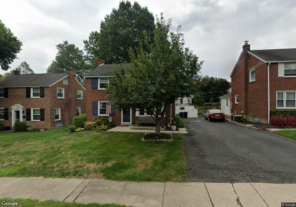
12 Bennington Rd Havertown, PA 19083
Estimated Value: $612,686 - $633,000
4
Beds
2
Baths
2,422
Sq Ft
$257/Sq Ft
Est. Value
About This Home
This home is located at 12 Bennington Rd, Havertown, PA 19083 and is currently estimated at $623,229, approximately $257 per square foot. 12 Bennington Rd is a home located in Delaware County with nearby schools including Chatham Park Elementary School, Haverford Middle School, and Haverford Senior High School.
Ownership History
Date
Name
Owned For
Owner Type
Purchase Details
Closed on
Oct 31, 1994
Sold by
Blumenthal Arthur and Leblanc Susan
Bought by
Weisman Larry and Weisman Anne Marguerite
Current Estimated Value
Home Financials for this Owner
Home Financials are based on the most recent Mortgage that was taken out on this home.
Original Mortgage
$129,200
Interest Rate
8.37%
Mortgage Type
Purchase Money Mortgage
Purchase Details
Closed on
Mar 30, 1994
Sold by
Blumenthal Arthur and Leblanc Susan
Bought by
Blumenthal Arthur and Leblanc Susan
Create a Home Valuation Report for This Property
The Home Valuation Report is an in-depth analysis detailing your home's value as well as a comparison with similar homes in the area
Home Values in the Area
Average Home Value in this Area
Purchase History
| Date | Buyer | Sale Price | Title Company |
|---|---|---|---|
| Weisman Larry | $136,000 | Commonwealth Land Title Ins | |
| Blumenthal Arthur | -- | -- |
Source: Public Records
Mortgage History
| Date | Status | Borrower | Loan Amount |
|---|---|---|---|
| Closed | Weisman Larry | $129,200 |
Source: Public Records
Tax History
| Year | Tax Paid | Tax Assessment Tax Assessment Total Assessment is a certain percentage of the fair market value that is determined by local assessors to be the total taxable value of land and additions on the property. | Land | Improvement |
|---|---|---|---|---|
| 2025 | $8,128 | $316,130 | $98,420 | $217,710 |
| 2024 | $8,128 | $316,130 | $98,420 | $217,710 |
| 2023 | $7,898 | $316,130 | $98,420 | $217,710 |
| 2022 | $7,713 | $316,130 | $98,420 | $217,710 |
| 2021 | $12,565 | $316,130 | $98,420 | $217,710 |
| 2020 | $8,227 | $177,010 | $49,840 | $127,170 |
| 2019 | $8,075 | $177,010 | $49,840 | $127,170 |
| 2018 | $7,937 | $177,010 | $0 | $0 |
| 2017 | $7,769 | $177,010 | $0 | $0 |
| 2016 | $971 | $177,010 | $0 | $0 |
| 2015 | $971 | $177,010 | $0 | $0 |
| 2014 | $971 | $177,010 | $0 | $0 |
Source: Public Records
Map
Nearby Homes
- 8 Myrtle Ave
- 114 Earlington Rd
- 19 Juniper Rd
- 216 Brentwood Rd
- 224 Parker Ave
- 221 E Park Rd
- 219 Farwood Rd
- 222 Wickford Rd
- 123 Old Forest Rd
- 110 E Township Line Rd
- 224 Farnham Rd
- 210 Farnham Rd
- 608 Hirst Ave
- 8525 Monroe Ave
- 45 S Brighton Ave
- 8125 W Chester Pike Unit A4
- 146 Henley Rd
- 1620 Ashurst Rd
- 8115 W Chester Pike Unit C3
- 8115 W Chester Pike Unit A8
- 10 Bennington Rd
- 14 Bennington Rd
- 8 Bennington Rd
- 11 Holbrook Rd
- 16 Bennington Rd
- 13 Holbrook Rd
- 9 Holbrook Rd
- 17 Holbrook Rd
- 15 Holbrook Rd
- 6 Bennington Rd
- 7 Holbrook Rd
- 19 Bennington Rd
- 21 Bennington Rd
- 17 Bennington Rd
- 5 Holbrook Rd
- 4 Bennington Rd
- 23 Bennington Rd
- 15 Bennington Rd
- 3 Holbrook Rd
- 25 Bennington Rd
Your Personal Tour Guide
Ask me questions while you tour the home.