12 Bibber Way Harpswell, ME 04079
Harpswell Neck NeighborhoodEstimated Value: $712,000 - $981,000
4
Beds
2
Baths
1,916
Sq Ft
$451/Sq Ft
Est. Value
About This Home
This home is located at 12 Bibber Way, Harpswell, ME 04079 and is currently estimated at $863,963, approximately $450 per square foot. 12 Bibber Way is a home located in Cumberland County with nearby schools including Mt Ararat High School.
Ownership History
Date
Name
Owned For
Owner Type
Purchase Details
Closed on
Jun 11, 2025
Sold by
Gregory Charles N and Gregory Patricia G
Bought by
Gregory Maine T and Gregory
Current Estimated Value
Purchase Details
Closed on
Apr 9, 2007
Sold by
Murphy John J
Bought by
Gregory 3Rd Charles N and Gregory Patricia G
Purchase Details
Closed on
May 19, 2005
Sold by
Murphy John J and Murphy Jean M
Bought by
Murphy John J
Home Financials for this Owner
Home Financials are based on the most recent Mortgage that was taken out on this home.
Original Mortgage
$100,000
Interest Rate
5.95%
Mortgage Type
Purchase Money Mortgage
Create a Home Valuation Report for This Property
The Home Valuation Report is an in-depth analysis detailing your home's value as well as a comparison with similar homes in the area
Home Values in the Area
Average Home Value in this Area
Purchase History
| Date | Buyer | Sale Price | Title Company |
|---|---|---|---|
| Gregory Maine T | -- | -- | |
| Gregory Maine T | -- | -- | |
| Gregory 3Rd Charles N | -- | -- | |
| Gregory 3Rd Charles N | -- | -- | |
| Murphy John J | -- | -- | |
| Murphy John J | -- | -- | |
| Murphy John J | -- | -- |
Source: Public Records
Mortgage History
| Date | Status | Borrower | Loan Amount |
|---|---|---|---|
| Previous Owner | Murphy John J | $100,000 |
Source: Public Records
Tax History Compared to Growth
Tax History
| Year | Tax Paid | Tax Assessment Tax Assessment Total Assessment is a certain percentage of the fair market value that is determined by local assessors to be the total taxable value of land and additions on the property. | Land | Improvement |
|---|---|---|---|---|
| 2024 | $3,003 | $472,200 | $262,900 | $209,300 |
| 2023 | $2,880 | $472,200 | $262,900 | $209,300 |
| 2022 | $2,786 | $472,200 | $262,900 | $209,300 |
| 2021 | $3,007 | $444,800 | $266,400 | $178,400 |
| 2020 | $2,998 | $444,800 | $266,400 | $178,400 |
| 2019 | $2,980 | $444,800 | $266,400 | $178,400 |
| 2018 | $2,882 | $444,800 | $266,400 | $178,400 |
| 2017 | $2,873 | $444,800 | $266,400 | $178,400 |
| 2016 | $2,847 | $444,800 | $266,400 | $178,400 |
| 2015 | $2,776 | $444,800 | $266,400 | $178,400 |
| 2013 | $2,571 | $444,800 | $266,400 | $178,400 |
Source: Public Records
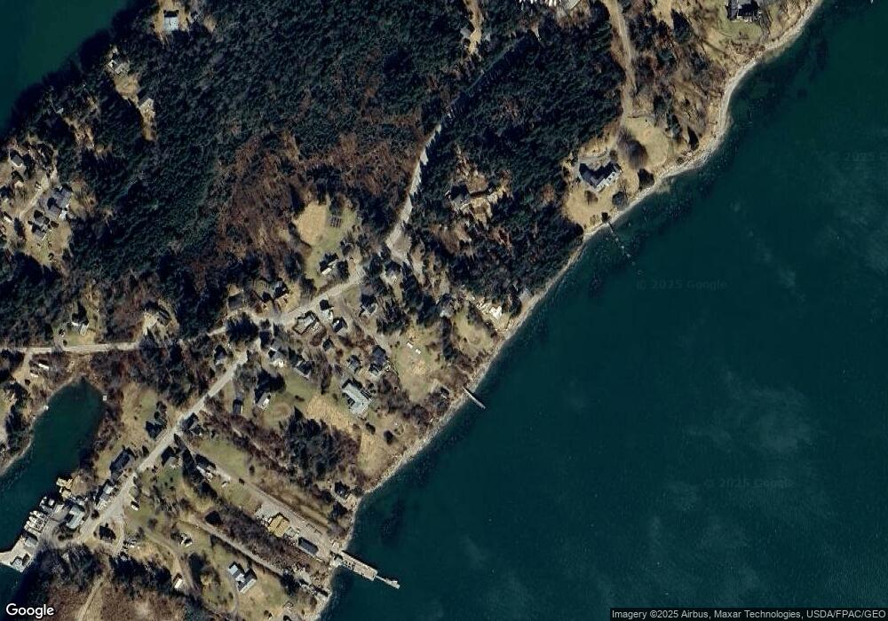
Map
Nearby Homes
- 8 & 2 Kane Ln
- 6 Kane Ln
- 10 S Colony Branch Rd
- 18 Ash Point Rd
- 16 Ash Point Rd Unit 16
- 10 Irene Ave
- 1450 Harpswell Neck Rd
- 30 Osbourne Row
- 19 Hugh Ave
- 20 Spruce Ledge Rd
- 1689 Harpswell Islands Rd
- 87 Lowells Cove Rd
- 1 Mallard Pond Rd
- 41 Spruce Brook Dr
- Lot 2A Allen Point Rd
- Lot 2B Allen Point Rd
- Lot 129 Harpswell Neck Rd
- 0 Bayview Rd Unit 2 1632776
- Lot 2 Buxhill Blvd
- 471 South Rd Unit A
- 16 Bibber Way
- 187 Ash Point Rd
- 10 Eberly Row
- 8 and 10 Eberly
- 195 Ash Point Rd
- 179 Ash Point Rd
- TBD Ash Point
- 13 Kaly Ln
- 8 Kane Ln
- 12 Eberly Row
- 177 Ash Point Rd
- 197 Ash Point Rd
- 14 Kaly Ln
- 196 Ash Point Rd
- 199 Ash Point Rd
- 8 Kaly Ln
- 200 Ash Point Rd
- 205 Ash Point Rd
- 141 Ash Point Rd
- 6 Tide Mill Cove Rd