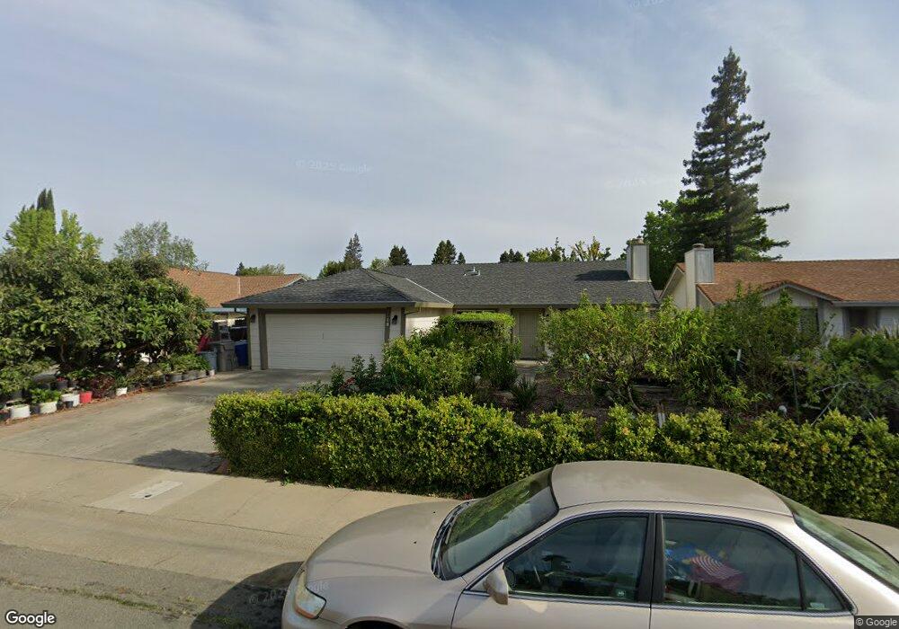
12 Bingham Cir Sacramento, CA 95831
Pocket-Greenhaven NeighborhoodEstimated Value: $364,000 - $546,000
3
Beds
2
Baths
1,390
Sq Ft
$352/Sq Ft
Est. Value
About This Home
This home is located at 12 Bingham Cir, Sacramento, CA 95831 and is currently estimated at $489,067, approximately $351 per square foot. 12 Bingham Cir is a home located in Sacramento County with nearby schools including Matsuyama Elementary School, Sam Brannan Middle School, and John F. Kennedy High School.
Ownership History
Date
Name
Owned For
Owner Type
Purchase Details
Closed on
Jul 2, 1997
Sold by
Federal National Mortgage Association
Bought by
Yu Rong Kuang and Kuang Bi Hong
Current Estimated Value
Home Financials for this Owner
Home Financials are based on the most recent Mortgage that was taken out on this home.
Original Mortgage
$63,000
Interest Rate
7.92%
Purchase Details
Closed on
Jan 28, 1997
Sold by
Vangelder Tim and Vangelder Elena
Bought by
Federal National Mortgage Association
Create a Home Valuation Report for This Property
The Home Valuation Report is an in-depth analysis detailing your home's value as well as a comparison with similar homes in the area
Home Values in the Area
Average Home Value in this Area
Purchase History
| Date | Buyer | Sale Price | Title Company |
|---|---|---|---|
| Yu Rong Kuang | $114,000 | Chicago Title Co | |
| Federal National Mortgage Association | $130,000 | Fidelity National Title Ins |
Source: Public Records
Mortgage History
| Date | Status | Borrower | Loan Amount |
|---|---|---|---|
| Closed | Yu Rong Kuang | $63,000 |
Source: Public Records
Tax History Compared to Growth
Tax History
| Year | Tax Paid | Tax Assessment Tax Assessment Total Assessment is a certain percentage of the fair market value that is determined by local assessors to be the total taxable value of land and additions on the property. | Land | Improvement |
|---|---|---|---|---|
| 2025 | $2,355 | $181,686 | $79,824 | $101,862 |
| 2024 | $2,355 | $178,124 | $78,259 | $99,865 |
| 2023 | $2,292 | $174,632 | $76,725 | $97,907 |
| 2022 | $2,266 | $171,209 | $75,221 | $95,988 |
| 2021 | $2,158 | $167,853 | $73,747 | $94,106 |
| 2020 | $2,165 | $166,133 | $72,991 | $93,142 |
| 2019 | $2,119 | $162,876 | $71,560 | $91,316 |
| 2018 | $2,064 | $159,683 | $70,157 | $89,526 |
| 2017 | $2,031 | $156,553 | $68,782 | $87,771 |
| 2016 | $1,961 | $153,484 | $67,434 | $86,050 |
| 2015 | $1,926 | $151,180 | $66,422 | $84,758 |
| 2014 | $1,885 | $148,219 | $65,121 | $83,098 |
Source: Public Records
Map
Nearby Homes
- 4 Bingham Cir
- 763 La Contenta Way
- 1 Sandpointe Ct
- 462 de Mar Dr
- 14 Morningsun Ct
- 1053 L Aloutte Way
- 4 Marina Blue Ct
- 14 Westlite Ct
- 7716 George River Ln
- 7922 Collins Isle Ln
- 857 Lake Front Dr
- 4 Park River Oak Ct
- 10 Fleet Ct
- 1100 La Fleur Way
- 7656 Marina Cove Dr
- 7170 Westmoreland Way
- 7110 Westmoreland Way
- 487 Twin River Way
- 7262 Harbor Light Way
- 943 Shore Breeze Dr