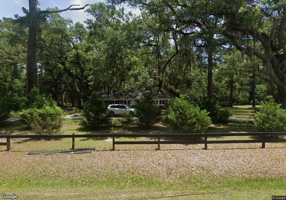
12 Brickyard Point Rd N Beaufort, SC 29907
Estimated Value: $480,000 - $689,000
3
Beds
2
Baths
2,309
Sq Ft
$247/Sq Ft
Est. Value
About This Home
This home is located at 12 Brickyard Point Rd N, Beaufort, SC 29907 and is currently estimated at $570,311, approximately $246 per square foot. 12 Brickyard Point Rd N is a home located in Beaufort County with nearby schools including Coosa Elementary School, Lady's Island Middle School, and Beaufort High School.
Ownership History
Date
Name
Owned For
Owner Type
Purchase Details
Closed on
Mar 31, 2015
Sold by
Willow Dean Llc
Bought by
Jones Christopher W and Jones Kathryn M
Current Estimated Value
Purchase Details
Closed on
Feb 15, 2011
Sold by
Lazenby Sandra M and Hincher Jane M
Bought by
Willow Dean Llc
Purchase Details
Closed on
Apr 30, 2010
Sold by
Hincher Jane Mitchell
Bought by
Lazenby Sandra M and Hincher Jane M
Purchase Details
Closed on
Dec 19, 2006
Sold by
Mitchell Dorothy R
Bought by
Mitchell Dorothy R and The Dorothy R Mitchell Revocable Trust
Create a Home Valuation Report for This Property
The Home Valuation Report is an in-depth analysis detailing your home's value as well as a comparison with similar homes in the area
Home Values in the Area
Average Home Value in this Area
Purchase History
| Date | Buyer | Sale Price | Title Company |
|---|---|---|---|
| Jones Christopher W | $207,500 | -- | |
| Willow Dean Llc | -- | -- | |
| Lazenby Sandra M | -- | -- | |
| Mitchell Dorothy R | -- | None Available |
Source: Public Records
Tax History Compared to Growth
Tax History
| Year | Tax Paid | Tax Assessment Tax Assessment Total Assessment is a certain percentage of the fair market value that is determined by local assessors to be the total taxable value of land and additions on the property. | Land | Improvement |
|---|---|---|---|---|
| 2024 | $4,444 | $17,072 | $8,956 | $8,116 |
| 2023 | $4,444 | $17,072 | $8,956 | $8,116 |
| 2022 | $930 | $10,712 | $6,176 | $4,536 |
| 2021 | $1,520 | $10,712 | $6,176 | $4,536 |
| 2020 | $894 | $10,712 | $6,176 | $4,536 |
| 2019 | $874 | $10,712 | $6,176 | $4,536 |
| 2018 | $854 | $5,720 | $0 | $0 |
| 2017 | $962 | $6,480 | $0 | $0 |
| 2016 | $4,809 | $9,410 | $0 | $0 |
| 2014 | -- | $9,410 | $0 | $0 |
Source: Public Records
Map
Nearby Homes
- 15 Walling Grove Rd
- 8 Marsh Hawk Dr
- 2 Venice Ct
- 67 Marsh Hawk Dr
- 123 Francis Marion Cir
- 19 Pickens St
- 34 White Heron Dr
- 11 Tern Rd S
- 29 Ardmore Ave
- 19 Ardmore Ave
- 1 Pickens St
- 14 Jasper Ln
- 37 Gadwall Dr W
- 15 Woods Ln
- 13 Woods Ln
- 77 Wade Hampton Dr
- 91 Middle Rd
- 22 Egret Dr
- TBD Arbor Victory Rd
- 120 Green Winged Teal Dr N
- 206 Springfield Rd
- 46 Brickyard Point Rd N
- 49 Brickyard Point Rd N
- 32 Moccasin Gap
- 49 Walnut Hill St
- 50 Walnut Hill St
- 65 Brickyard Point Rd N
- 48 Walnut Hill St
- 47 Walnut Hill St
- 66 Westminister Place
- 159 Springfield Rd
- 46 Walnut Hill St
- 64 Westminster Place
- 45 Walnut Hill St
- 64 Westminister Place
- 68 Westminister Place
- 68 Westminster Place
- 70 Westminister Place
- 70 Westminster Place
- 26 Garden Grove Ct