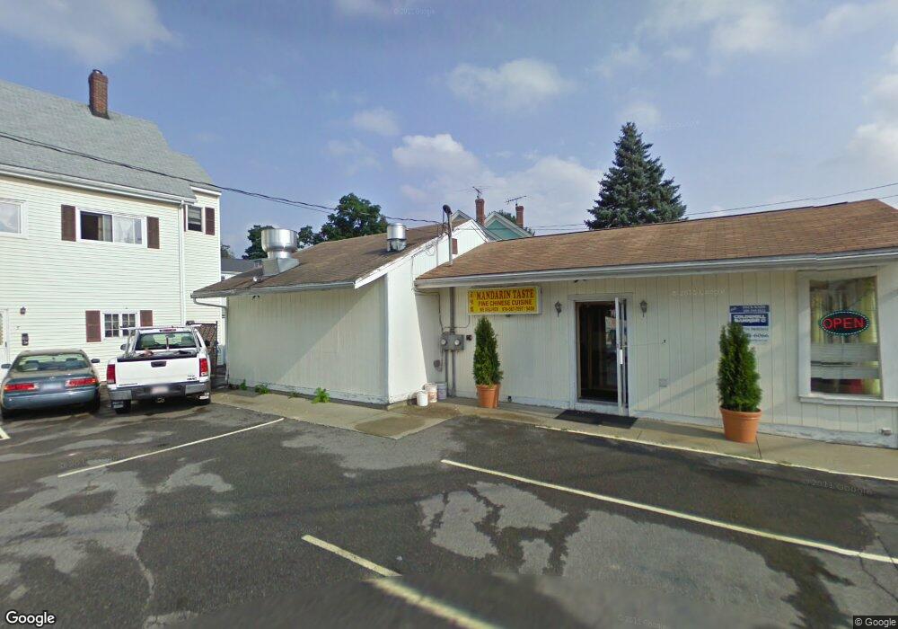
12 Broad St Hudson, MA 01749
Downtown Hudson NeighborhoodEstimated Value: $724,919
Studio
4
Baths
4,707
Sq Ft
$154/Sq Ft
Est. Value
About This Home
This home is located at 12 Broad St, Hudson, MA 01749 and is currently estimated at $724,919, approximately $154 per square foot. 12 Broad St is a home located in Middlesex County with nearby schools including David J. Quinn Middle School, Hudson High School, and First Steps Children's Center.
Ownership History
Date
Name
Owned For
Owner Type
Purchase Details
Closed on
Dec 2, 2003
Sold by
Chan Chun Hung
Bought by
T & V Corp
Current Estimated Value
Home Financials for this Owner
Home Financials are based on the most recent Mortgage that was taken out on this home.
Original Mortgage
$255,000
Outstanding Balance
$119,893
Interest Rate
6.09%
Mortgage Type
Commercial
Estimated Equity
$605,026
Create a Home Valuation Report for This Property
The Home Valuation Report is an in-depth analysis detailing your home's value as well as a comparison with similar homes in the area
Home Values in the Area
Average Home Value in this Area
Purchase History
| Date | Buyer | Sale Price | Title Company |
|---|---|---|---|
| T & V Corp | $333,250 | -- | |
| T & V Corp | $333,250 | -- |
Source: Public Records
Mortgage History
| Date | Status | Borrower | Loan Amount |
|---|---|---|---|
| Open | T & V Corp | $255,000 | |
| Closed | T & V Corp | $255,000 |
Source: Public Records
Tax History
| Year | Tax Paid | Tax Assessment Tax Assessment Total Assessment is a certain percentage of the fair market value that is determined by local assessors to be the total taxable value of land and additions on the property. | Land | Improvement |
|---|---|---|---|---|
| 2025 | $4,582 | $169,000 | $115,300 | $53,700 |
| 2024 | $4,461 | $162,200 | $109,800 | $52,400 |
| 2023 | $4,644 | $160,800 | $109,800 | $51,000 |
| 2022 | $4,844 | $153,300 | $104,600 | $48,700 |
| 2021 | $4,994 | $150,600 | $99,600 | $51,000 |
| 2020 | $4,925 | $148,700 | $97,700 | $51,000 |
| 2019 | $4,992 | $146,400 | $97,700 | $48,700 |
| 2018 | $4,985 | $141,700 | $93,000 | $48,700 |
| 2017 | $4,790 | $135,500 | $88,600 | $46,900 |
| 2016 | $4,743 | $134,100 | $88,600 | $45,500 |
| 2015 | $4,307 | $119,900 | $88,600 | $31,300 |
| 2014 | $4,220 | $122,500 | $88,600 | $33,900 |
Source: Public Records
Map
Nearby Homes
- 16 Barnes Blvd Unit 16
- 16 Houghton St
- 11 Barracks Rd Unit 11
- 32 Barracks Rd Unit 32
- 12 Barracks Rd Unit 12
- 7 Barracks Rd Unit 7
- 5 Barracks Rd Unit 5
- 13 Barracks Rd Unit 13
- 10 Barracks Rd Unit 10
- 19 Cherry St
- 46 Church St Unit 2
- 34 Forest Ave
- 21 Felton St
- 17 School St Unit C
- 17 School St Unit A
- 41 Walnut St
- 18-24 River St Unit 12
- 16 Princeton Rd
- 37 Tower St
- 56 Park St
- 5 Loring St
- 14 Broad St Unit 1
- 7 Loring St
- 18 Broad St
- 9 Loring St
- 4 Loring St
- 10 Winter St
- 11 Loring St
- 165 Main St
- 12 Winter St
- 5 Winter St
- 46 Barnes Blvd
- 2 Barnes Blvd Unit 52
- 18 Barnes Blvd Unit 39
- 32 Barnes Blvd Unit 27
- 56 Barnes Blvd Unit 8
- 24 Barnes Blvd Unit 35
- 20 Barnes Blvd Unit 38
- 6 Barnes Blvd Unit 50
- 16 Barnes Blvd Unit 40
Your Personal Tour Guide
Ask me questions while you tour the home.