12 Burr Ave Pembroke, MA 02359
Estimated Value: $442,000 - $526,000
3
Beds
1
Bath
864
Sq Ft
$571/Sq Ft
Est. Value
About This Home
This home is located at 12 Burr Ave, Pembroke, MA 02359 and is currently estimated at $493,513, approximately $571 per square foot. 12 Burr Ave is a home located in Plymouth County with nearby schools including Pembroke High School, Cadence Academy Preschool - Hanover, and Cardinal Cushing Centers.
Ownership History
Date
Name
Owned For
Owner Type
Purchase Details
Closed on
Nov 24, 1993
Sold by
Mangio Mary E
Bought by
Homan Barry C and Homan Barbara D
Current Estimated Value
Home Financials for this Owner
Home Financials are based on the most recent Mortgage that was taken out on this home.
Original Mortgage
$89,000
Interest Rate
6.72%
Mortgage Type
Purchase Money Mortgage
Create a Home Valuation Report for This Property
The Home Valuation Report is an in-depth analysis detailing your home's value as well as a comparison with similar homes in the area
Home Values in the Area
Average Home Value in this Area
Purchase History
| Date | Buyer | Sale Price | Title Company |
|---|---|---|---|
| Homan Barry C | $89,000 | -- |
Source: Public Records
Mortgage History
| Date | Status | Borrower | Loan Amount |
|---|---|---|---|
| Open | Homan Barry C | $166,000 | |
| Closed | Homan Barry C | $45,000 | |
| Closed | Homan Barry C | $35,000 | |
| Closed | Homan Barry C | $89,000 |
Source: Public Records
Tax History Compared to Growth
Tax History
| Year | Tax Paid | Tax Assessment Tax Assessment Total Assessment is a certain percentage of the fair market value that is determined by local assessors to be the total taxable value of land and additions on the property. | Land | Improvement |
|---|---|---|---|---|
| 2025 | $4,772 | $397,000 | $273,200 | $123,800 |
| 2024 | $4,450 | $369,900 | $247,500 | $122,400 |
| 2023 | $4,441 | $349,100 | $235,300 | $113,800 |
| 2022 | $4,143 | $292,800 | $194,000 | $98,800 |
| 2021 | $3,855 | $264,400 | $181,500 | $82,900 |
| 2020 | $3,773 | $260,400 | $177,500 | $82,900 |
| 2019 | $3,635 | $249,000 | $173,300 | $75,700 |
| 2018 | $3,422 | $229,800 | $165,900 | $63,900 |
| 2017 | $3,293 | $218,100 | $154,200 | $63,900 |
| 2016 | $3,145 | $206,100 | $142,200 | $63,900 |
| 2015 | $2,921 | $198,200 | $134,300 | $63,900 |
Source: Public Records
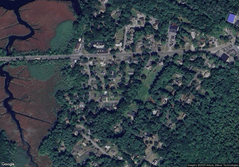
Map
Nearby Homes
- 46 Lorna Ave
- 218 Schoosett St
- 172 Washington St
- 261 Washington St
- 15 Kings Terrace
- 55 Shipyard Ln
- 133 Brigantine Cir
- 33 Barker Square Dr Unit 33
- 28 Old Shipyard Ln
- 21 Union St
- 31 Hillcrest Dr
- 66 Hemlock Dr
- 20 Meadow Brook Rd
- 21 Chowdermarch St
- 5 Royal Dane Dr Unit 46
- 10 Royal Dane Dr Unit 88
- 15 Bagnell Dr Unit 15
- 16 Broad Oak Way
- 26 Church St
- 547 Washington St Unit A10