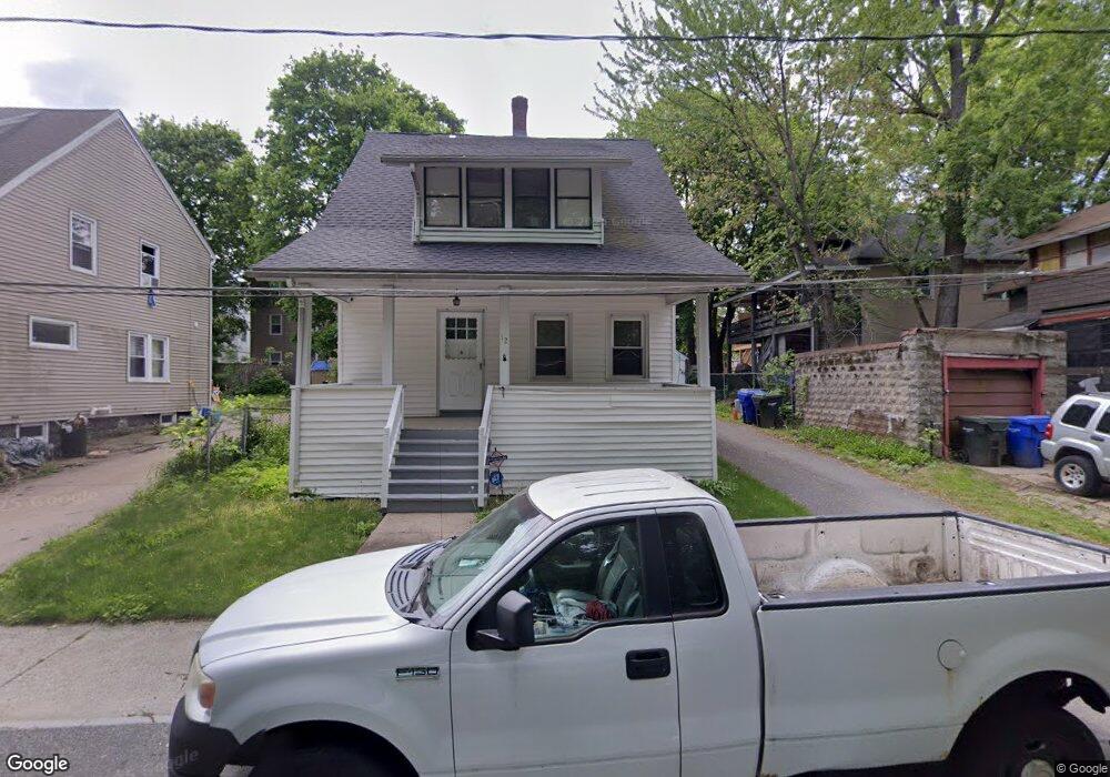
12 Byron St Springfield, MA 01109
Upper Hill NeighborhoodEstimated Value: $232,000 - $269,000
3
Beds
2
Baths
1,341
Sq Ft
$188/Sq Ft
Est. Value
About This Home
This home is located at 12 Byron St, Springfield, MA 01109 and is currently estimated at $251,604, approximately $187 per square foot. 12 Byron St is a home located in Hampden County with nearby schools including Homer Street Elementary School, John J Duggan Middle, and Springfield High School of Science and Technology.
Ownership History
Date
Name
Owned For
Owner Type
Purchase Details
Closed on
Mar 24, 2016
Sold by
James Marcia M
Bought by
James Marcia and James Evan G
Current Estimated Value
Purchase Details
Closed on
Dec 5, 2003
Sold by
12 Byron Street Nt and Clarke William
Bought by
James Marcia M
Purchase Details
Closed on
Jun 29, 1987
Sold by
Est Edith Stricker
Bought by
James Evan G
Home Financials for this Owner
Home Financials are based on the most recent Mortgage that was taken out on this home.
Original Mortgage
$64,600
Interest Rate
10.5%
Mortgage Type
Purchase Money Mortgage
Create a Home Valuation Report for This Property
The Home Valuation Report is an in-depth analysis detailing your home's value as well as a comparison with similar homes in the area
Home Values in the Area
Average Home Value in this Area
Purchase History
| Date | Buyer | Sale Price | Title Company |
|---|---|---|---|
| James Marcia | -- | -- | |
| James Marcia M | -- | -- | |
| James Evan G | $68,000 | -- |
Source: Public Records
Mortgage History
| Date | Status | Borrower | Loan Amount |
|---|---|---|---|
| Previous Owner | James Evan G | $20,000 | |
| Previous Owner | James Evan G | $64,600 |
Source: Public Records
Tax History
| Year | Tax Paid | Tax Assessment Tax Assessment Total Assessment is a certain percentage of the fair market value that is determined by local assessors to be the total taxable value of land and additions on the property. | Land | Improvement |
|---|---|---|---|---|
| 2025 | $2,336 | $149,000 | $29,800 | $119,200 |
| 2024 | $2,411 | $150,100 | $29,800 | $120,300 |
| 2023 | $1,891 | $110,900 | $27,100 | $83,800 |
| 2022 | $1,933 | $102,700 | $25,300 | $77,400 |
| 2021 | $1,678 | $88,800 | $18,000 | $70,800 |
| 2020 | $1,656 | $84,800 | $18,000 | $66,800 |
| 2019 | $1,374 | $69,800 | $15,300 | $54,500 |
| 2018 | $1,387 | $70,500 | $15,300 | $55,200 |
| 2017 | $1,243 | $63,200 | $14,400 | $48,800 |
| 2016 | $1,097 | $55,800 | $14,400 | $41,400 |
| 2015 | $1,159 | $58,900 | $14,400 | $44,500 |
Source: Public Records
Map
Nearby Homes
- 111 Marlborough St
- 31-33 Suffolk St
- 62-64 Bristol St
- 89 Bristol St
- 87 Fenwick St
- 25 Dresden St
- 48-50 Dresden St
- 11 Ina St
- 135-137 Suffolk St
- 867 Roosevelt Ave
- 124-126 Westford Cir
- 19 Westford Ave
- 21 Westford Cir
- 46 Mapledell St
- 15 Kenyon St
- 27 Nokomis St
- 0 NS (24) Alden St
- 65 Montrose St
- 236 Pondview Dr
- 145 Cambridge St
- 16 Byron St
- 425 Wilbraham Rd
- 21 Carlisle St
- 22 Byron St
- 25 Carlisle St
- 415 Wilbraham Rd
- 23 Carlisle St
- 17 Carlisle St Unit 19
- 17-19 Carlisle St
- 27-29 Carlisle St
- 27 Carlisle St Unit 29
- 26 Byron St
- 409 Wilbraham Rd
- 33 Carlisle St Unit 35
- 411 Wilbraham Rd
- 32 Byron St
- 39 Carlisle St
- 20 Carlisle St
- 16 Carlisle St
- 1070 Roosevelt Ave
Your Personal Tour Guide
Ask me questions while you tour the home.