12 Camelot Ct Nottingham, NH 03290
Estimated Value: $680,000 - $798,000
3
Beds
3
Baths
3,034
Sq Ft
$242/Sq Ft
Est. Value
About This Home
This home is located at 12 Camelot Ct, Nottingham, NH 03290 and is currently estimated at $734,812, approximately $242 per square foot. 12 Camelot Ct is a home located in Rockingham County with nearby schools including Nottingham Elementary School.
Ownership History
Date
Name
Owned For
Owner Type
Purchase Details
Closed on
Mar 2, 2010
Sold by
Winn Richard H and Winn Elaine B
Bought by
Thompson Christopher E and Thompson Cheyanne E
Current Estimated Value
Home Financials for this Owner
Home Financials are based on the most recent Mortgage that was taken out on this home.
Original Mortgage
$334,898
Interest Rate
5.11%
Mortgage Type
VA
Create a Home Valuation Report for This Property
The Home Valuation Report is an in-depth analysis detailing your home's value as well as a comparison with similar homes in the area
Home Values in the Area
Average Home Value in this Area
Purchase History
| Date | Buyer | Sale Price | Title Company |
|---|---|---|---|
| Thompson Christopher E | $324,200 | -- |
Source: Public Records
Mortgage History
| Date | Status | Borrower | Loan Amount |
|---|---|---|---|
| Open | Thompson Christopher E | $324,057 | |
| Closed | Thompson Christopher E | $326,875 | |
| Closed | Thompson Christopher E | $326,625 | |
| Closed | Thompson Christopher E | $334,898 |
Source: Public Records
Tax History Compared to Growth
Tax History
| Year | Tax Paid | Tax Assessment Tax Assessment Total Assessment is a certain percentage of the fair market value that is determined by local assessors to be the total taxable value of land and additions on the property. | Land | Improvement |
|---|---|---|---|---|
| 2024 | $8,423 | $411,700 | $145,800 | $265,900 |
| 2023 | $8,827 | $411,700 | $145,800 | $265,900 |
| 2022 | $7,868 | $411,700 | $145,800 | $265,900 |
| 2021 | $7,943 | $409,000 | $145,800 | $263,200 |
| 2020 | $7,624 | $406,400 | $145,800 | $260,600 |
| 2019 | $7,416 | $329,600 | $94,300 | $235,300 |
| 2018 | $7,462 | $329,600 | $94,300 | $235,300 |
| 2017 | $6,811 | $325,100 | $89,800 | $235,300 |
| 2016 | $6,713 | $325,100 | $89,800 | $235,300 |
| 2015 | $6,613 | $325,100 | $89,800 | $235,300 |
| 2014 | $6,993 | $320,500 | $73,300 | $247,200 |
| 2013 | $6,896 | $320,000 | $73,300 | $246,700 |
Source: Public Records
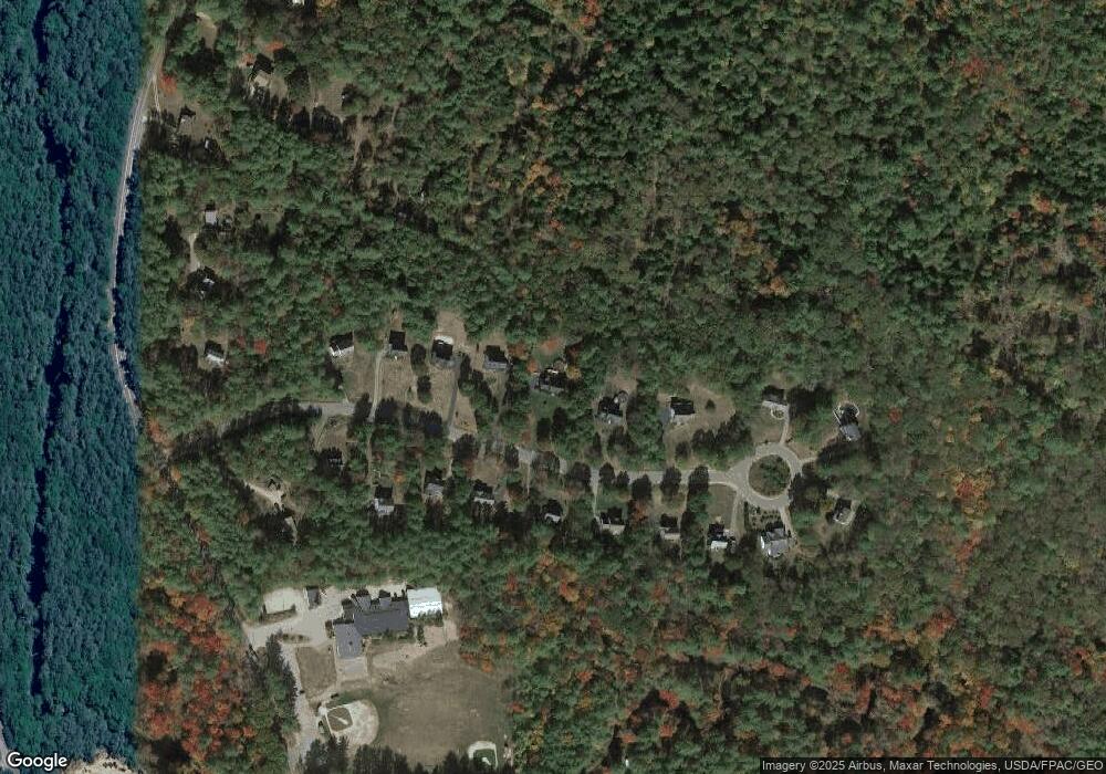
Map
Nearby Homes
- 12 Gerrish Dr
- 179 Stage Rd
- 60 Ledge Farm Rd
- 278 Stage Rd
- 106 Smoke St
- 1 Oak Ridge Rd
- 18 Sofia Way
- 13 Woodland Ave
- 62 Freeman Hall Rd
- 22C Sera Dr Unit C
- 25B Ada Dr
- 5 Mcdaniel Rd
- 27 Revolutionary Ln
- Lot 1N-11 Captain Smith Dr
- Lot 1N-7 Lipizzan Dr Unit 1N-7
- Lot 1N-10 Captain Smith Dr
- 1 Autumn Ln
- 21 Autumn Ln
- 19 Autumn Ln
- 11 Autumn Ln