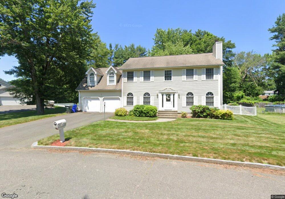
12 Cara Ln East Longmeadow, MA 01028
Sixteen Acres NeighborhoodEstimated Value: $483,518 - $702,000
4
Beds
3
Baths
2,288
Sq Ft
$244/Sq Ft
Est. Value
About This Home
This home is located at 12 Cara Ln, East Longmeadow, MA 01028 and is currently estimated at $558,380, approximately $244 per square foot. 12 Cara Ln is a home located in Hampden County with nearby schools including Daniel B Brunton, M Marcus Kiley Middle, and Springfield High School of Science and Technology.
Ownership History
Date
Name
Owned For
Owner Type
Purchase Details
Closed on
Mar 10, 2000
Sold by
Hudson Paul A
Bought by
Ralls Robert H and Ralls Sharon L
Current Estimated Value
Home Financials for this Owner
Home Financials are based on the most recent Mortgage that was taken out on this home.
Original Mortgage
$145,000
Outstanding Balance
$48,753
Interest Rate
8.18%
Mortgage Type
Purchase Money Mortgage
Estimated Equity
$509,627
Purchase Details
Closed on
Sep 15, 1997
Sold by
Cote Norman J
Bought by
Hudson Paul A
Home Financials for this Owner
Home Financials are based on the most recent Mortgage that was taken out on this home.
Original Mortgage
$29,600
Interest Rate
7.31%
Mortgage Type
Purchase Money Mortgage
Create a Home Valuation Report for This Property
The Home Valuation Report is an in-depth analysis detailing your home's value as well as a comparison with similar homes in the area
Home Values in the Area
Average Home Value in this Area
Purchase History
| Date | Buyer | Sale Price | Title Company |
|---|---|---|---|
| Ralls Robert H | $195,000 | -- | |
| Hudson Paul A | $37,000 | -- |
Source: Public Records
Mortgage History
| Date | Status | Borrower | Loan Amount |
|---|---|---|---|
| Open | Hudson Paul A | $145,000 | |
| Previous Owner | Hudson Paul A | $34,000 | |
| Previous Owner | Hudson Paul A | $29,600 |
Source: Public Records
Tax History Compared to Growth
Tax History
| Year | Tax Paid | Tax Assessment Tax Assessment Total Assessment is a certain percentage of the fair market value that is determined by local assessors to be the total taxable value of land and additions on the property. | Land | Improvement |
|---|---|---|---|---|
| 2025 | $6,553 | $417,900 | $61,700 | $356,200 |
| 2024 | $6,440 | $401,000 | $61,700 | $339,300 |
| 2023 | $6,650 | $390,000 | $58,800 | $331,200 |
| 2022 | $5,998 | $318,700 | $58,800 | $259,900 |
| 2021 | $5,867 | $310,400 | $53,400 | $257,000 |
| 2020 | $5,679 | $290,800 | $53,400 | $237,400 |
| 2019 | $5,699 | $289,600 | $53,400 | $236,200 |
| 2018 | $5,528 | $280,900 | $53,400 | $227,500 |
| 2017 | $5,542 | $281,900 | $53,400 | $228,500 |
| 2016 | $5,302 | $269,700 | $53,400 | $216,300 |
| 2015 | $5,085 | $258,500 | $53,400 | $205,100 |
Source: Public Records
Map
Nearby Homes
- 399 Elm St
- 15 Lynwood Rd
- 41 Kerry Dr
- 41 Hillside Dr
- 32 Lindsay Rd
- 331 Newhouse St
- 82 Louis Rd
- 0 Apple Blossom Ln
- 111 Malibu Dr
- 86 Talmadge Dr
- 17 Skyridge Ln
- 17 Pebble Mill Rd
- 1815 Parker St
- 19 Westminster St
- 99 W Crystal Brook Dr
- 54 Shady Brook Ln
- 206 Treetop Ave
- 43 Sunridge Dr
- 1680 Parker St
- 55 Allen St