12 Carol Ln Fairmont, MN 56031
Estimated Value: $554,000 - $834,000
3
Beds
4
Baths
2,876
Sq Ft
$243/Sq Ft
Est. Value
About This Home
This home is located at 12 Carol Ln, Fairmont, MN 56031 and is currently estimated at $698,822, approximately $242 per square foot. 12 Carol Ln is a home located in Martin County with nearby schools including Fairmont Elementary School and Fairmont Junior/Senior High School.
Ownership History
Date
Name
Owned For
Owner Type
Purchase Details
Closed on
Feb 6, 2012
Sold by
Mceleney Emmett T
Bought by
Maiers Steven R and Maiers Mary A
Current Estimated Value
Home Financials for this Owner
Home Financials are based on the most recent Mortgage that was taken out on this home.
Original Mortgage
$417,000
Outstanding Balance
$285,414
Interest Rate
3.87%
Mortgage Type
New Conventional
Estimated Equity
$413,408
Create a Home Valuation Report for This Property
The Home Valuation Report is an in-depth analysis detailing your home's value as well as a comparison with similar homes in the area
Home Values in the Area
Average Home Value in this Area
Purchase History
| Date | Buyer | Sale Price | Title Company |
|---|---|---|---|
| Maiers Steven R | $455,000 | None Available |
Source: Public Records
Mortgage History
| Date | Status | Borrower | Loan Amount |
|---|---|---|---|
| Open | Maiers Steven R | $417,000 |
Source: Public Records
Tax History Compared to Growth
Tax History
| Year | Tax Paid | Tax Assessment Tax Assessment Total Assessment is a certain percentage of the fair market value that is determined by local assessors to be the total taxable value of land and additions on the property. | Land | Improvement |
|---|---|---|---|---|
| 2025 | $5,974 | $764,000 | $135,200 | $628,800 |
| 2024 | $5,434 | $730,500 | $125,200 | $605,300 |
| 2023 | $2,205 | $704,500 | $125,200 | $579,300 |
| 2022 | $3,974 | $515,700 | $115,600 | $400,100 |
| 2021 | $4,154 | $432,200 | $109,900 | $322,300 |
| 2020 | $4,420 | $476,600 | $89,800 | $386,800 |
| 2019 | $4,490 | $470,600 | $83,800 | $386,800 |
| 2018 | $4,294 | $432,300 | $71,300 | $361,000 |
| 2017 | $4,090 | $432,300 | $71,300 | $361,000 |
| 2016 | $3,564 | $392,800 | $70,893 | $321,907 |
| 2015 | $3,163 | $392,800 | $70,893 | $321,907 |
| 2013 | $3,803 | $379,800 | $66,013 | $313,787 |
Source: Public Records
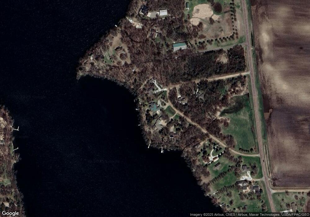
Map
Nearby Homes
- 1011 Iowa 15
- 276 180th Ave
- 775 200th Ave
- Lot 5 200th Ave
- Lot 1 200th Ave
- Lot 2 200th Ave
- Lot 3 200th Ave
- Lot 4 200th Ave
- Lot 6 200th Ave
- 2109 95th St
- 2224 Red Bird Ln
- 2218 Red Bird Ln
- 2214 Red Bird Ln
- 2413 Albion Ave
- 1910 Knollwood Dr
- 0000 Tuttle Lake Ct
- 000 Tuttle Lake Ct
- 1600 S Prairie Ave
- 1581 Meadowlark Ln
- 0 Co Rd 39 190th Ave