12 Clark Island Rd Amherst, NH 03031
Estimated Value: $1,017,000 - $1,301,000
4
Beds
2
Baths
2,226
Sq Ft
$531/Sq Ft
Est. Value
About This Home
This home is located at 12 Clark Island Rd, Amherst, NH 03031 and is currently estimated at $1,181,290, approximately $530 per square foot. 12 Clark Island Rd is a home with nearby schools including Wilkins Elementary School, Amherst Middle School, and Souhegan Cooperative High School.
Ownership History
Date
Name
Owned For
Owner Type
Purchase Details
Closed on
Apr 17, 2018
Sold by
George T Milligan Ret
Bought by
Clark Island Ret
Current Estimated Value
Create a Home Valuation Report for This Property
The Home Valuation Report is an in-depth analysis detailing your home's value as well as a comparison with similar homes in the area
Home Values in the Area
Average Home Value in this Area
Purchase History
| Date | Buyer | Sale Price | Title Company |
|---|---|---|---|
| Clark Island Ret | $600,000 | -- |
Source: Public Records
Tax History Compared to Growth
Tax History
| Year | Tax Paid | Tax Assessment Tax Assessment Total Assessment is a certain percentage of the fair market value that is determined by local assessors to be the total taxable value of land and additions on the property. | Land | Improvement |
|---|---|---|---|---|
| 2024 | $18,706 | $815,800 | $519,800 | $296,000 |
| 2023 | $17,850 | $815,800 | $519,800 | $296,000 |
| 2022 | $17,238 | $815,800 | $519,800 | $296,000 |
| 2021 | $17,385 | $815,800 | $519,800 | $296,000 |
| 2020 | $492 | $571,900 | $356,400 | $215,500 |
| 2019 | $15,418 | $571,900 | $356,400 | $215,500 |
| 2018 | $507 | $571,900 | $356,400 | $215,500 |
| 2017 | $14,875 | $571,900 | $356,400 | $215,500 |
| 2016 | $513 | $571,900 | $356,400 | $215,500 |
| 2015 | $10,677 | $403,200 | $274,000 | $129,200 |
| 2014 | $10,749 | $403,200 | $274,000 | $129,200 |
| 2013 | $10,665 | $403,200 | $274,000 | $129,200 |
Source: Public Records
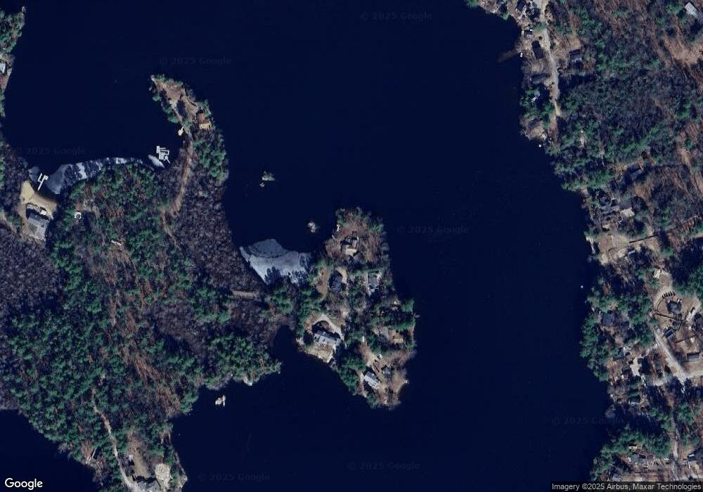
Map
Nearby Homes
- 2 Baxter Ln
- 4 Miriam Rd
- 5 Carter Rd
- 4 Milford St
- 10 Colman Path
- 79 Woodward Rd
- 10 Winterberry Dr
- 37 Baboosic Lake Rd
- 24 Brook Rd
- 29 Brieann Dr
- 40 Captain Bannon Cir
- 14 Silver Doe Ln
- 101 Horace Greeley Rd
- 44 McQuade Brook Rd
- 20 Jakes Ln
- 1A Debbie Ln
- 007-056 MacK Hill Rd
- 301 N Amherst Rd
- 2 County Rd
- 276 N Amherst Rd
- 10 Clark Island Rd
- 14 Clark Island Rd
- 16 Clark Island Rd
- 20 Clark Island Rd
- 13 Clark Island Rd
- 00 Clark Island Rd
- 6 Clark Island Rd
- 6A Clark Island Rd
- 23 Jebb Rd
- 25 Jebb Rd
- 2 Langer Way
- 4 Langer Way
- 21 Jebb Rd
- 19 Jebb Rd
- 310 Baboosic Lake Rd
- 310 Baboosic Lake Rd
- 28A Shore Dr
- 2 Shore Drive Extension
- 4 Clark Island Rd
- 28 Shore Dr