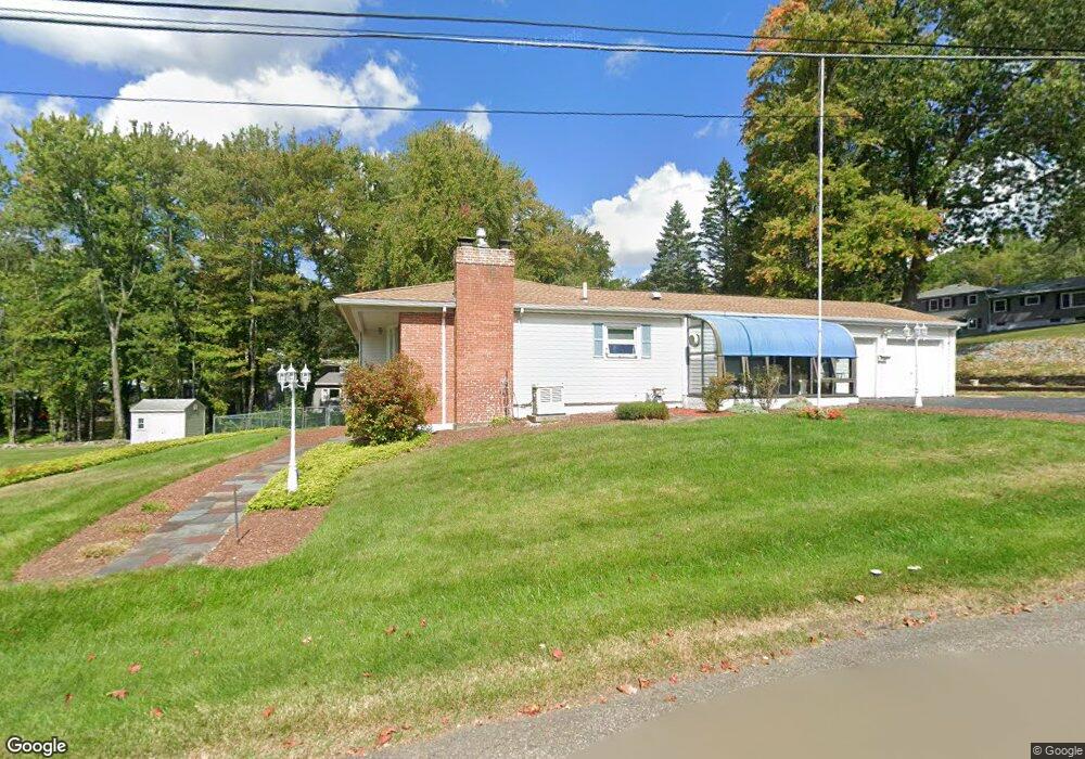
12 Cloverleaf Rd Leominster, MA 01453
Estimated Value: $528,000 - $553,000
3
Beds
3
Baths
1,560
Sq Ft
$347/Sq Ft
Est. Value
About This Home
This home is located at 12 Cloverleaf Rd, Leominster, MA 01453 and is currently estimated at $541,911, approximately $347 per square foot. 12 Cloverleaf Rd is a home located in Worcester County with nearby schools including Leominster High School, St. Leo School, and St. Anna Catholic School.
Ownership History
Date
Name
Owned For
Owner Type
Purchase Details
Closed on
Aug 15, 2022
Sold by
T Rj and Vv T
Bought by
Blanchflower Irt
Current Estimated Value
Purchase Details
Closed on
Feb 8, 2005
Sold by
Blanchflower Robert J
Bought by
Vv Rj and Vv Blanchflower T
Purchase Details
Closed on
Oct 7, 2002
Sold by
Kelly Arnold A and Kelly Harriet M
Bought by
Blanchflower Robert J and Blanchflower Blanchflowr
Create a Home Valuation Report for This Property
The Home Valuation Report is an in-depth analysis detailing your home's value as well as a comparison with similar homes in the area
Home Values in the Area
Average Home Value in this Area
Purchase History
| Date | Buyer | Sale Price | Title Company |
|---|---|---|---|
| Blanchflower Irt | -- | None Available | |
| Vv Rj | -- | -- | |
| Blanchflower Robert J | $240,000 | -- |
Source: Public Records
Tax History
| Year | Tax Paid | Tax Assessment Tax Assessment Total Assessment is a certain percentage of the fair market value that is determined by local assessors to be the total taxable value of land and additions on the property. | Land | Improvement |
|---|---|---|---|---|
| 2025 | $7,286 | $519,300 | $157,300 | $362,000 |
| 2024 | $7,007 | $482,900 | $149,700 | $333,200 |
| 2023 | $7,122 | $458,300 | $130,300 | $328,000 |
| 2022 | $6,859 | $414,200 | $113,300 | $300,900 |
| 2021 | $6,821 | $376,200 | $88,300 | $287,900 |
| 2020 | $6,584 | $366,200 | $88,300 | $277,900 |
| 2019 | $6,294 | $339,500 | $84,100 | $255,400 |
| 2018 | $6,128 | $317,000 | $81,700 | $235,300 |
| 2017 | $5,753 | $291,600 | $76,300 | $215,300 |
| 2016 | $5,512 | $281,500 | $76,300 | $205,200 |
| 2015 | $5,229 | $269,000 | $76,300 | $192,700 |
| 2014 | $4,757 | $251,800 | $80,800 | $171,000 |
Source: Public Records
Map
Nearby Homes
- 8 Cloverleaf Rd
- 32 Cloverleaf Rd
- 58 Cloverleaf Rd
- 54 Briar Rd
- 9 Cloverleaf Rd
- 6 Cloverleaf Rd
- 68 Cloverleaf Rd
- 53 Briar Rd
- 49 Cloverleaf Rd
- 5 Cloverleaf Rd
- 53 Briar Terrace
- 55 Cloverleaf Rd
- 59 Briar Terrace
- 43 Briar Rd
- 2 Cloverleaf Rd
- 80 Cloverleaf Rd
- 39 Cloverleaf Rd
- 67 Briar Terrace
- 17 Cloverleaf Rd
- 119 Bonnydale Rd
Your Personal Tour Guide
Ask me questions while you tour the home.