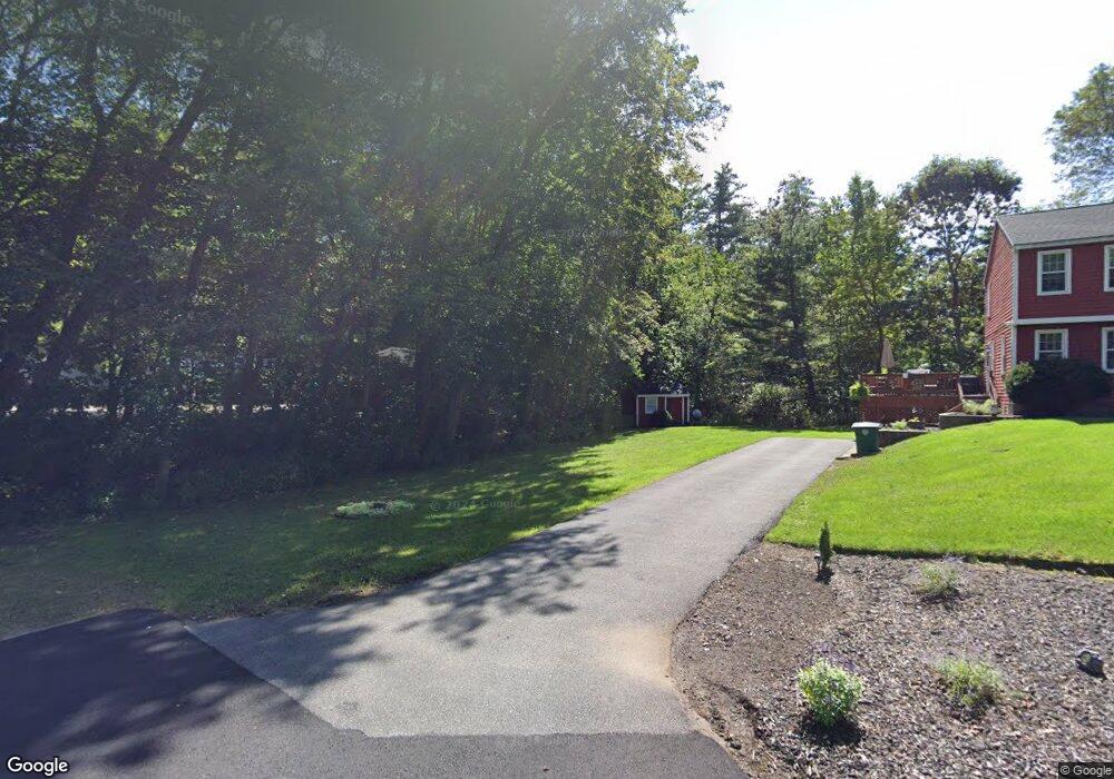
12 Colonial Ave Nashua, NH 03062
West Hollis NeighborhoodEstimated Value: $605,000 - $707,893
3
Beds
3
Baths
1,933
Sq Ft
$347/Sq Ft
Est. Value
About This Home
This home is located at 12 Colonial Ave, Nashua, NH 03062 and is currently estimated at $670,723, approximately $346 per square foot. 12 Colonial Ave is a home located in Hillsborough County with nearby schools including Main Dunstable School, Elm Street Middle School, and Nashua High School South.
Ownership History
Date
Name
Owned For
Owner Type
Purchase Details
Closed on
Dec 23, 2013
Sold by
Matthews Garfield M and Matthews Marjorie L
Bought by
Matthews Ft and Matthews
Current Estimated Value
Purchase Details
Closed on
Jan 3, 2005
Sold by
Brothers Rt
Bought by
Matthews Garfield M and Matthews Marjorie L
Purchase Details
Closed on
Oct 1, 2001
Sold by
Kane Howard B and Kane Elizabeth M
Bought by
Lovely Alison T
Home Financials for this Owner
Home Financials are based on the most recent Mortgage that was taken out on this home.
Original Mortgage
$180,000
Interest Rate
6.91%
Mortgage Type
Purchase Money Mortgage
Purchase Details
Closed on
Jun 3, 1996
Sold by
Rodgers Dev Co Inc
Bought by
Kane Howard B and Kane Elizabeth M
Home Financials for this Owner
Home Financials are based on the most recent Mortgage that was taken out on this home.
Original Mortgage
$115,000
Interest Rate
7.91%
Mortgage Type
Purchase Money Mortgage
Create a Home Valuation Report for This Property
The Home Valuation Report is an in-depth analysis detailing your home's value as well as a comparison with similar homes in the area
Home Values in the Area
Average Home Value in this Area
Purchase History
| Date | Buyer | Sale Price | Title Company |
|---|---|---|---|
| Matthews Ft | -- | -- | |
| Matthews Ft | -- | -- | |
| Matthews Garfield M | $412,500 | -- | |
| Lovely Alison T | $307,000 | -- | |
| Kane Howard B | $182,600 | -- |
Source: Public Records
Mortgage History
| Date | Status | Borrower | Loan Amount |
|---|---|---|---|
| Previous Owner | Kane Howard B | $180,000 | |
| Previous Owner | Kane Howard B | $115,000 |
Source: Public Records
Tax History Compared to Growth
Tax History
| Year | Tax Paid | Tax Assessment Tax Assessment Total Assessment is a certain percentage of the fair market value that is determined by local assessors to be the total taxable value of land and additions on the property. | Land | Improvement |
|---|---|---|---|---|
| 2024 | $10,782 | $678,100 | $173,500 | $504,600 |
| 2023 | $10,313 | $565,700 | $138,800 | $426,900 |
| 2022 | $10,222 | $565,700 | $138,800 | $426,900 |
| 2021 | $8,675 | $373,600 | $92,600 | $281,000 |
| 2020 | $8,467 | $374,500 | $92,600 | $281,900 |
| 2019 | $8,149 | $374,500 | $92,600 | $281,900 |
| 2018 | $8,389 | $395,500 | $92,600 | $302,900 |
| 2017 | $7,603 | $294,800 | $75,500 | $219,300 |
| 2016 | $7,391 | $294,800 | $75,500 | $219,300 |
| 2015 | $7,231 | $294,800 | $75,500 | $219,300 |
| 2014 | $7,090 | $294,800 | $75,500 | $219,300 |
Source: Public Records
Map
Nearby Homes
- 12 Clovercrest Dr
- 2 Matties Way
- 1014 W Hollis St
- 58 Tanglewood Dr
- 67 Groton Rd Unit B
- 5 Plainfield Ln
- 1 Ladd Ln
- 9-48-8 Ladd Ln
- 11 Rideout Rd
- 4 Chesapeake Rd
- 38 Lorna St
- 2 Rene Dr
- 20 Martha St
- 25 Cortez Dr Unit U57
- 80 Twiss Ln
- 91 Century Way
- 12 Spring Cove Rd Unit U103
- 170 Nashua Rd
- 11 Bartemus Trail Unit 204
- 40 Spring Cove Rd Unit U117
- 27 Country Side Dr
- 23 Country Side Dr
- 14 Colonial Ave
- 10 Colonial Ave
- 29 Country Side Dr
- 31 Country Side Dr
- 21 Country Side Dr
- 15 Colonial Ave Unit 497 -1
- 15 Colonial Ave
- 15 Colonial Ave
- 30 Country Side Dr
- 24 Country Side Dr
- 11 Colonial Ave
- 26 Country Side Dr
- 10 Caitlyn Cir
- 22 Country Side Dr
- 9 Colonial Ave
- 8 Caitlyn Cir
- 91 Gilson Rd
- 89 Gilson Rd