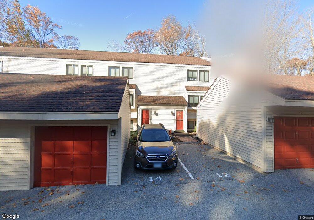
12 Comstock Trail Brookfield, CT 06804
Estimated Value: $326,000 - $368,000
2
Beds
3
Baths
2,100
Sq Ft
$165/Sq Ft
Est. Value
About This Home
This home is located at 12 Comstock Trail, Brookfield, CT 06804 and is currently estimated at $346,593, approximately $165 per square foot. 12 Comstock Trail is a home located in Fairfield County with nearby schools including Whisconier Middle School, Brookfield High School, and Christian Life Academy.
Ownership History
Date
Name
Owned For
Owner Type
Purchase Details
Closed on
Sep 2, 2016
Sold by
Ruocco Ronald W and Ruocco Kristine E
Bought by
Martin Elaine P
Current Estimated Value
Home Financials for this Owner
Home Financials are based on the most recent Mortgage that was taken out on this home.
Original Mortgage
$193,000
Outstanding Balance
$154,260
Interest Rate
3.45%
Mortgage Type
Purchase Money Mortgage
Estimated Equity
$192,333
Purchase Details
Closed on
Jun 4, 2010
Sold by
Romagnoli Robert
Bought by
Ruocco Ronald and Ruocco Kristin
Purchase Details
Closed on
Feb 1, 1995
Sold by
Manon Violet
Bought by
Schlick Catherine
Home Financials for this Owner
Home Financials are based on the most recent Mortgage that was taken out on this home.
Original Mortgage
$137,200
Interest Rate
9.13%
Mortgage Type
Unknown
Create a Home Valuation Report for This Property
The Home Valuation Report is an in-depth analysis detailing your home's value as well as a comparison with similar homes in the area
Home Values in the Area
Average Home Value in this Area
Purchase History
| Date | Buyer | Sale Price | Title Company |
|---|---|---|---|
| Martin Elaine P | $199,000 | -- | |
| Martin Elaine P | $199,000 | -- | |
| Ruocco Ronald | $222,000 | -- | |
| Ruocco Ronald | $222,000 | -- | |
| Schlick Catherine | $144,500 | -- | |
| Schlick Catherine | $144,500 | -- |
Source: Public Records
Mortgage History
| Date | Status | Borrower | Loan Amount |
|---|---|---|---|
| Open | Schlick Catherine | $193,000 | |
| Closed | Schlick Catherine | $193,000 | |
| Previous Owner | Schlick Catherine | $137,200 |
Source: Public Records
Tax History
| Year | Tax Paid | Tax Assessment Tax Assessment Total Assessment is a certain percentage of the fair market value that is determined by local assessors to be the total taxable value of land and additions on the property. | Land | Improvement |
|---|---|---|---|---|
| 2025 | $3,387 | $117,080 | $0 | $117,080 |
| 2024 | $3,267 | $117,080 | $0 | $117,080 |
| 2023 | $3,145 | $117,080 | $0 | $117,080 |
| 2022 | $3,030 | $117,080 | $0 | $117,080 |
| 2021 | $4,192 | $139,260 | $0 | $139,260 |
| 2020 | $4,129 | $139,260 | $0 | $139,260 |
| 2019 | $4,058 | $139,260 | $0 | $139,260 |
| 2018 | $3,947 | $139,260 | $0 | $139,260 |
| 2017 | $3,800 | $139,260 | $0 | $139,260 |
| 2016 | $3,513 | $133,060 | $0 | $133,060 |
Source: Public Records
Map
Nearby Homes
- 6 Comstock Trail Unit 6
- 29 Ledgewood Dr
- 18 Dean Rd
- 20 Brookfield Meadows
- 23 Sunset Hill Rd
- 10 Elmwood Ct
- 3 Bramble Way
- 3 Bramble Way Unit Homesite 77
- 2 Elmwood Ct
- 5 Bramble Way Unit Homesite 76
- 7 Bramble Way Unit Homesite 75
- 7 Bramble Way
- 6 Bramble Way Unit Homesite 30
- 6 Bramble Way
- 2 Bramble Way
- 2 Bramble Way Unit Homesite 28
- 21 Bramble Way Unit Homesite 68
- 43 Bramble Way
- 5 Woodland Hills Terrace
- 37 Old Route 7 Unit 4
- 12 Comstock Trail Unit 12
- 14 Comstock Trail
- 14 Comstock Trail Unit 14
- 10 Comstock Trail
- 16 Comstock Trail
- 16 Comstock Trail Unit 16
- 18 Comstock Trail
- 18 Comstock Trail Unit 18
- 20 Comstock Trail
- 8 Comstock Trail
- 8 Comstock Trail Unit 8
- 6 Comstock Trail
- 1 Comstock Trail
- 1 Comstock Trail Unit 1
- 9 Comstock Trail
- 9 Comstock Trail Unit 9
- 11 Comstock Trail
- 11 Comstock Trail Unit 11
- 4 Comstock Trail
- 4 Comstock Trail Unit 4
Your Personal Tour Guide
Ask me questions while you tour the home.