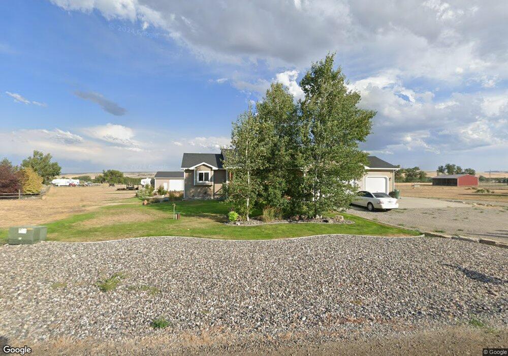
12 Dale Ln Laurel, MT 59044
Estimated Value: $549,000 - $981,000
3
Beds
2
Baths
1,842
Sq Ft
$366/Sq Ft
Est. Value
About This Home
This home is located at 12 Dale Ln, Laurel, MT 59044 and is currently estimated at $673,817, approximately $365 per square foot. 12 Dale Ln is a home located in Carbon County with nearby schools including Fred W. Graff School, West School, and Laurel Middle School.
Create a Home Valuation Report for This Property
The Home Valuation Report is an in-depth analysis detailing your home's value as well as a comparison with similar homes in the area
Home Values in the Area
Average Home Value in this Area
Tax History Compared to Growth
Tax History
| Year | Tax Paid | Tax Assessment Tax Assessment Total Assessment is a certain percentage of the fair market value that is determined by local assessors to be the total taxable value of land and additions on the property. | Land | Improvement |
|---|---|---|---|---|
| 2025 | $2,167 | $519,000 | $0 | $0 |
| 2024 | $2,547 | $396,700 | $0 | $0 |
| 2023 | $2,386 | $396,700 | $0 | $0 |
| 2022 | $2,060 | $342,200 | $0 | $0 |
| 2021 | $2,130 | $342,200 | $0 | $0 |
| 2020 | $2,121 | $339,400 | $0 | $0 |
| 2019 | $2,122 | $339,400 | $0 | $0 |
| 2018 | $2,022 | $304,600 | $0 | $0 |
| 2017 | $2,003 | $304,600 | $0 | $0 |
| 2016 | $1,767 | $267,566 | $0 | $0 |
| 2015 | $1,710 | $267,566 | $0 | $0 |
| 2014 | $1,531 | $129,267 | $0 | $0 |
Source: Public Records
Map
Nearby Homes
- 4320 Moser Dome Rd
- 681 Clarks River Rd
- 3 Winterpast Ln
- 2595 Carlin St
- 751 Clarks River Rd
- 2275 Shay Rd
- 2410 Boggio Ln
- Lot 16 Clarks Point Dr
- 2307 Sportsman Park Rd
- 1508 Emerick Ln
- 10 Cc Ln
- 9 & 10 Cc Ln
- 3 Backforty Rd
- 711 Cougar Cir
- TBD Wold Rd
- 00 Rodeo Dr
- 419 Durland Ave
- 316 Durland Ave
- 301 West Ave
- NHN Schreiner Rd