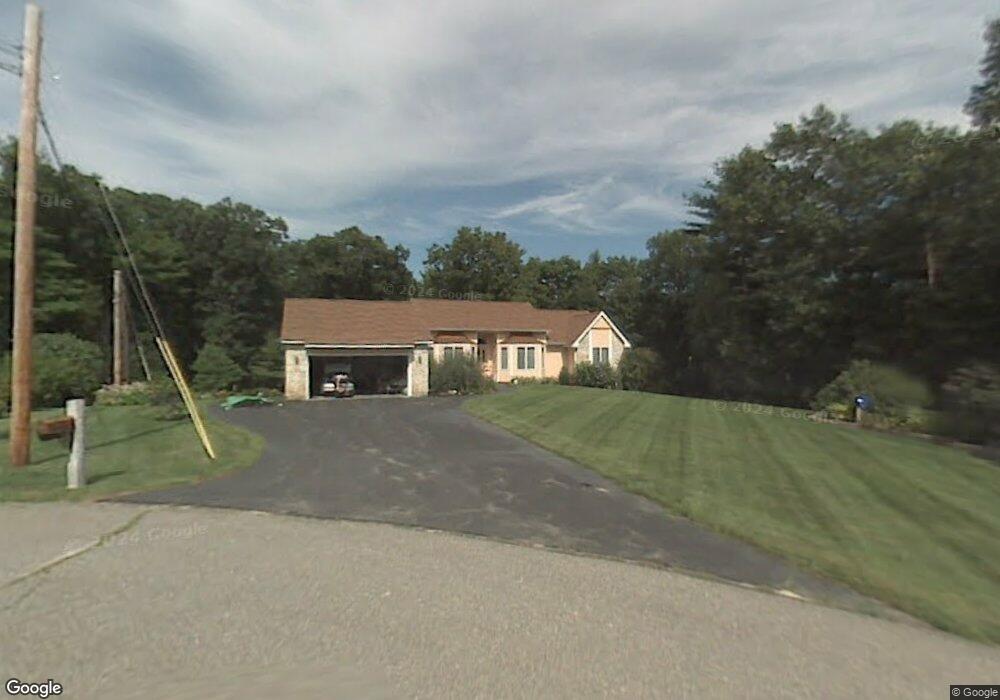
12 David Dr Pelham, NH 03076
Estimated Value: $672,684 - $731,000
3
Beds
2
Baths
1,814
Sq Ft
$387/Sq Ft
Est. Value
About This Home
This home is located at 12 David Dr, Pelham, NH 03076 and is currently estimated at $701,671, approximately $386 per square foot. 12 David Dr is a home with nearby schools including Pelham Elementary School, Pelham Memorial School, and Pelham High School.
Ownership History
Date
Name
Owned For
Owner Type
Purchase Details
Closed on
Jan 30, 2013
Sold by
Dawson D Evelyn
Bought by
D Evelyn Dawson Ret and Dawson D Evelyn
Current Estimated Value
Purchase Details
Closed on
Jan 21, 1994
Bought by
D Evelyn Dawson Ret
Create a Home Valuation Report for This Property
The Home Valuation Report is an in-depth analysis detailing your home's value as well as a comparison with similar homes in the area
Home Values in the Area
Average Home Value in this Area
Purchase History
| Date | Buyer | Sale Price | Title Company |
|---|---|---|---|
| D Evelyn Dawson Ret | -- | -- | |
| D Evelyn Dawson Ret | $171,700 | -- |
Source: Public Records
Mortgage History
| Date | Status | Borrower | Loan Amount |
|---|---|---|---|
| Open | D Evelyn Dawson Ret | $110,000 | |
| Closed | D Evelyn Dawson Ret | $110,000 | |
| Closed | D Evelyn Dawson Ret | $100,000 |
Source: Public Records
Tax History
| Year | Tax Paid | Tax Assessment Tax Assessment Total Assessment is a certain percentage of the fair market value that is determined by local assessors to be the total taxable value of land and additions on the property. | Land | Improvement |
|---|---|---|---|---|
| 2024 | $10,749 | $586,100 | $186,800 | $399,300 |
| 2023 | $10,661 | $586,100 | $186,800 | $399,300 |
| 2022 | $10,210 | $586,100 | $186,800 | $399,300 |
| 2021 | $9,354 | $586,100 | $186,800 | $399,300 |
| 2020 | $8,967 | $443,900 | $149,400 | $294,500 |
| 2019 | $8,612 | $443,900 | $149,400 | $294,500 |
| 2018 | $8,653 | $403,200 | $149,400 | $253,800 |
| 2017 | $8,649 | $403,200 | $149,400 | $253,800 |
| 2016 | $8,529 | $407,100 | $149,400 | $257,700 |
| 2015 | $7,550 | $324,600 | $142,600 | $182,000 |
| 2014 | $7,424 | $324,600 | $142,600 | $182,000 |
| 2013 | $7,264 | $317,600 | $142,600 | $175,000 |
Source: Public Records
Map
Nearby Homes
- 436 Mammoth Rd
- 10 Oakland Ridge Rd Unit 11
- 20 Debbie Dr
- 9 Cornstalk Ln
- 2 Aspen Dr
- 2 Aspen Dr Unit Lot 146-17
- 4 Haystack Cir
- 67 2nd St
- 43 & 53 5th St
- 6 Therriault Dr
- 18 Heather Lee Ln
- 77 Christy Ave
- 26 Sagewood Dr Unit 26
- 17 Spare St
- 225 Long Pond Dr
- 60 Robert St
- 1905 Lakeview Ave
- 29 Saddle Rd
- 29 Mill St Unit B
- 28 Bridal Path Rd