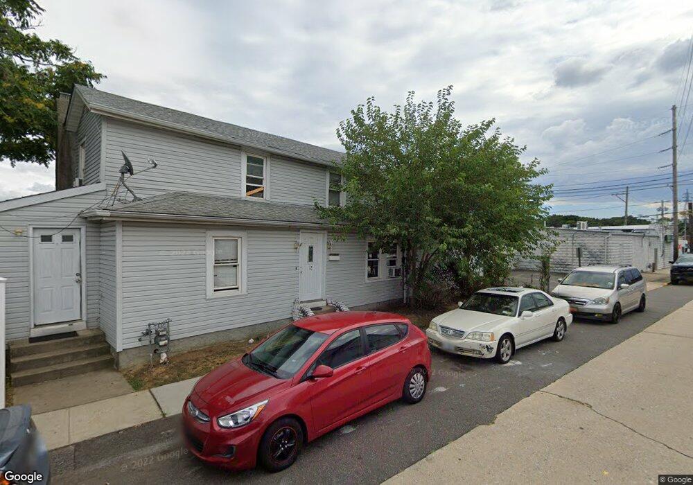
12 Dawes Ave Lynbrook, NY 11563
Estimated Value: $694,408 - $877,000
--
Bed
--
Bath
1,283
Sq Ft
$612/Sq Ft
Est. Value
About This Home
This home is located at 12 Dawes Ave, Lynbrook, NY 11563 and is currently estimated at $785,704, approximately $612 per square foot. 12 Dawes Ave is a home located in Nassau County with nearby schools including Lynbrook Senior High School, Holy Name of Mary School, and Our Lady Of Peace School.
Ownership History
Date
Name
Owned For
Owner Type
Purchase Details
Closed on
Feb 26, 2024
Sold by
G & Znr Operating Llc
Bought by
659 Merrick 12 Dawes Llc
Current Estimated Value
Purchase Details
Closed on
Jun 1, 2015
Sold by
Kartez Zachary
Bought by
G & Znr Operating Llc
Purchase Details
Closed on
Nov 16, 2002
Sold by
Alvarez Carlos
Bought by
Coreas Reyes
Create a Home Valuation Report for This Property
The Home Valuation Report is an in-depth analysis detailing your home's value as well as a comparison with similar homes in the area
Home Values in the Area
Average Home Value in this Area
Purchase History
| Date | Buyer | Sale Price | Title Company |
|---|---|---|---|
| 659 Merrick 12 Dawes Llc | $900,000 | Abstracts Incorporated | |
| 659 Merrick 12 Dawes Llc | $900,000 | Abstracts Incorporated | |
| G & Znr Operating Llc | -- | Commonwealth Land Title | |
| G & Znr Operating Llc | -- | Commonwealth Land Title | |
| Coreas Reyes | $120,000 | -- | |
| Coreas Reyes | $120,000 | -- |
Source: Public Records
Tax History Compared to Growth
Tax History
| Year | Tax Paid | Tax Assessment Tax Assessment Total Assessment is a certain percentage of the fair market value that is determined by local assessors to be the total taxable value of land and additions on the property. | Land | Improvement |
|---|---|---|---|---|
| 2025 | $9,252 | $401 | $140 | $261 |
| 2024 | $861 | $409 | $143 | $266 |
| 2023 | $9,320 | $450 | $157 | $293 |
| 2022 | $9,320 | $450 | $157 | $293 |
| 2021 | $13,006 | $456 | $159 | $297 |
| 2020 | $8,924 | $503 | $364 | $139 |
| 2019 | $7,783 | $539 | $333 | $206 |
| 2018 | $7,725 | $574 | $0 | $0 |
| 2017 | $7,098 | $632 | $390 | $242 |
| 2016 | $8,011 | $632 | $390 | $242 |
| 2015 | $938 | $632 | $390 | $242 |
| 2014 | $938 | $632 | $390 | $242 |
| 2013 | $861 | $632 | $390 | $242 |
Source: Public Records
Map
Nearby Homes
- 25 Concord St
- 33 Marshall Ave
- 67 Burtis St
- 95 Foster Ave
- 11 Wood St
- 59 Cornwell Ave
- 51 Manor Rd
- 241 Hendrickson Ave
- 230 E New York Ave
- 21 Clark Ave
- 145 Cornwell Ave
- 47 Wood St
- 170 E Mineola Ave
- 61 Harvard Ave
- 192 Sherman St
- 504 Merrick Rd Unit 2k
- 504 Merrick Rd Unit 4J
- 504 Merrick Rd Unit 4A
- 504 Merrick Rd Unit 4E
- 15 Leach St