12 Demerit Pond Rd Nottingham, NH 03290
Estimated Value: $456,000 - $549,000
3
Beds
2
Baths
1,547
Sq Ft
$317/Sq Ft
Est. Value
About This Home
This home is located at 12 Demerit Pond Rd, Nottingham, NH 03290 and is currently estimated at $489,862, approximately $316 per square foot. 12 Demerit Pond Rd is a home with nearby schools including Nottingham Elementary School.
Ownership History
Date
Name
Owned For
Owner Type
Purchase Details
Closed on
May 26, 2004
Sold by
Davies Robert and Davies Pamela M
Bought by
Unknown
Current Estimated Value
Home Financials for this Owner
Home Financials are based on the most recent Mortgage that was taken out on this home.
Original Mortgage
$200,000
Outstanding Balance
$96,980
Interest Rate
5.88%
Mortgage Type
Purchase Money Mortgage
Estimated Equity
$392,882
Create a Home Valuation Report for This Property
The Home Valuation Report is an in-depth analysis detailing your home's value as well as a comparison with similar homes in the area
Home Values in the Area
Average Home Value in this Area
Purchase History
| Date | Buyer | Sale Price | Title Company |
|---|---|---|---|
| Unknown | $250,000 | -- |
Source: Public Records
Mortgage History
| Date | Status | Borrower | Loan Amount |
|---|---|---|---|
| Open | Unknown | $200,000 |
Source: Public Records
Tax History Compared to Growth
Tax History
| Year | Tax Paid | Tax Assessment Tax Assessment Total Assessment is a certain percentage of the fair market value that is determined by local assessors to be the total taxable value of land and additions on the property. | Land | Improvement |
|---|---|---|---|---|
| 2024 | $4,934 | $241,134 | $97,834 | $143,300 |
| 2023 | $5,170 | $241,138 | $97,838 | $143,300 |
| 2022 | $4,609 | $241,191 | $97,891 | $143,300 |
| 2021 | $4,686 | $241,272 | $97,972 | $143,300 |
| 2020 | $4,526 | $241,238 | $97,938 | $143,300 |
| 2019 | $4,232 | $188,085 | $63,385 | $124,700 |
| 2018 | $4,258 | $188,088 | $63,388 | $124,700 |
| 2017 | $5,725 | $194,961 | $70,261 | $124,700 |
| 2016 | $4,026 | $194,975 | $70,275 | $124,700 |
| 2015 | $3,965 | $194,930 | $70,230 | $124,700 |
| 2014 | $3,769 | $172,731 | $41,631 | $131,100 |
| 2013 | $3,720 | $172,636 | $45,736 | $126,900 |
Source: Public Records
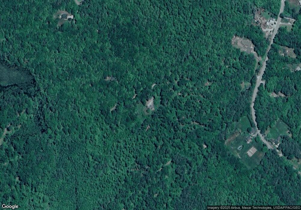
Map
Nearby Homes
- 37 Upper Camp Rd
- 50 Masten Dr
- 142 Mountain Ave
- 160 Cooper Hill Rd
- 278 Stage Rd
- 104 N River Lake Rd
- 31 Green St
- 175 Old Turnpike Rd
- 62 Freeman Hall Rd
- 0 Deerfield Rd Unit 5036704
- 360 1st nh Turnpike
- 140 Mountain View Rd
- 27 Deer Run Ln
- 16 Deer Run Ln
- 24 Sera Dr Unit D
- 23 Sera Dr
- 6 Ridge Rd
- 36 Estate Dr
- 67 Spruce Pond Dr
- 150A 1st New Hampshire Turnpike
- 364 Stage Rd
- 15 Demerit Pond Rd
- 5 Kenison Pond Rd
- 0 Kenison Pond Rd
- 360 Stage Rd
- 356 Stage Rd
- 10 Devonshire Dr
- 355 Stage Rd
- 10 Lucas Pond Rd
- 8 Devonshire Dr
- 363 Stage Rd
- 361 Stage Rd
- 366 Stage Rd
- 8 Lucas Pond Rd
- 12 Lucas Pond Rd
- 365 Stage Rd
- 84 Gebig Rd
- 370 Stage Rd
- 370 Stage Rd Unit 4
- 370 Stage Rd Unit 3