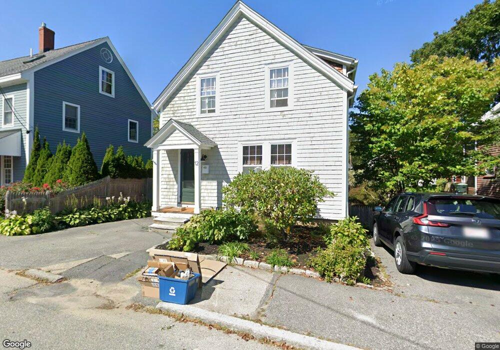
12 Desmond Ave Unit Avenue Manchester, MA 01944
Estimated Value: $748,691 - $961,000
3
Beds
2
Baths
1,300
Sq Ft
$663/Sq Ft
Est. Value
About This Home
This home is located at 12 Desmond Ave Unit Avenue, Manchester, MA 01944 and is currently estimated at $861,423, approximately $662 per square foot. 12 Desmond Ave Unit Avenue is a home located in Essex County with nearby schools including Manchester Essex Regional High School, Tara Montessori School, and Glen Urquhart School.
Ownership History
Date
Name
Owned For
Owner Type
Purchase Details
Closed on
Mar 2, 2004
Sold by
Friedman Lawrence
Bought by
Glass Christopher B and Glass Catherine A
Current Estimated Value
Purchase Details
Closed on
Oct 15, 2001
Sold by
Meehan Margo and Flatley Francis L
Bought by
Friedman Lawrence
Create a Home Valuation Report for This Property
The Home Valuation Report is an in-depth analysis detailing your home's value as well as a comparison with similar homes in the area
Home Values in the Area
Average Home Value in this Area
Purchase History
| Date | Buyer | Sale Price | Title Company |
|---|---|---|---|
| Glass Christopher B | $451,500 | -- | |
| Friedman Lawrence | $380,000 | -- |
Source: Public Records
Mortgage History
| Date | Status | Borrower | Loan Amount |
|---|---|---|---|
| Open | Friedman Lawrence | $392,595 | |
| Closed | Friedman Lawrence | $416,000 | |
| Closed | Friedman Lawrence | $428,000 |
Source: Public Records
Tax History Compared to Growth
Tax History
| Year | Tax Paid | Tax Assessment Tax Assessment Total Assessment is a certain percentage of the fair market value that is determined by local assessors to be the total taxable value of land and additions on the property. | Land | Improvement |
|---|---|---|---|---|
| 2025 | $5,959 | $651,300 | $275,200 | $376,100 |
| 2024 | $5,674 | $606,800 | $262,100 | $344,700 |
| 2023 | $5,572 | $534,200 | $234,800 | $299,400 |
| 2022 | $5,100 | $481,100 | $212,900 | $268,200 |
| 2021 | $5,210 | $474,100 | $212,900 | $261,200 |
| 2020 | $5,237 | $447,600 | $202,000 | $245,600 |
| 2019 | $4,860 | $432,800 | $192,200 | $240,600 |
| 2018 | $4,774 | $432,800 | $192,200 | $240,600 |
| 2017 | $4,568 | $415,300 | $174,700 | $240,600 |
| 2016 | $4,375 | $395,200 | $174,700 | $220,500 |
| 2015 | $4,166 | $384,300 | $163,800 | $220,500 |
Source: Public Records
Map
Nearby Homes
- 27 Norwood Ave Unit C
- 48 Union St Unit 1
- 10 Washington St
- 6 Summer St Unit D
- 12 Vine St
- 75 Summer St
- 30 Pine St
- 18 Bennett St Unit 1
- 33 Pleasant St Unit 33
- 4 Windemere Park Extension
- 17 Old Essex Rd
- 2 Mark St
- 4 Cobb Ave
- 35 Forster Rd
- 37 Forster Rd
- 25 Forest St
- 1 Crooked Ln
- 2 and 2A Harbor St
- 159 Bridge St
- 239 Summer St
- 12 Desmond Ave
- 14 Desmond Ave
- 10 Desmond Ave Unit B
- 10 Desmond Ave Unit A
- 10 Desmond Ave
- 9 Brook St
- 11 Brook St
- 3 Brook St
- 3 Brook St Unit A
- 3 Brook St Unit B
- 21 Desmond Ave Unit G
- 21 Desmond Ave Unit F
- 21 Desmond Ave Unit A
- 21 Desmond Ave Unit D
- 21 Desmond Ave Unit B
- 18 Desmond Ave
- 19 Desmond Ave Unit G
- 17 Desmond Ave
- 8 Brook St
- 10 Brook St