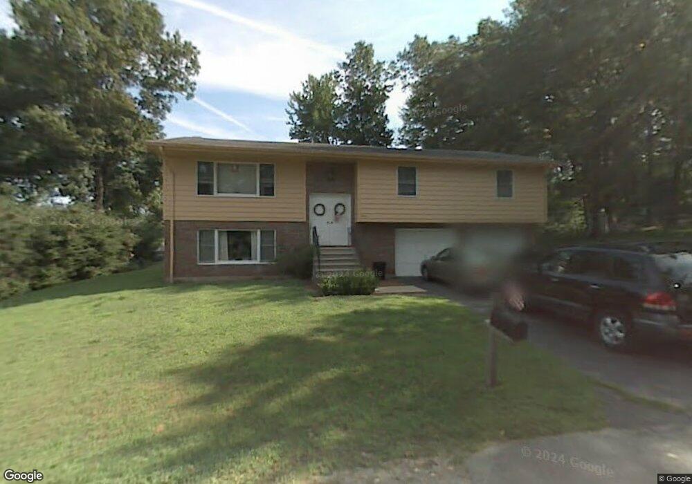
12 Dike Dr Unit 1 Clinton, MA 01510
Estimated Value: $574,000 - $603,000
4
Beds
2
Baths
1,806
Sq Ft
$326/Sq Ft
Est. Value
About This Home
This home is located at 12 Dike Dr Unit 1, Clinton, MA 01510 and is currently estimated at $588,844, approximately $326 per square foot. 12 Dike Dr Unit 1 is a home located in Worcester County with nearby schools including Clinton Senior High School, Clinton Elementary School, and Clinton Middle School.
Ownership History
Date
Name
Owned For
Owner Type
Purchase Details
Closed on
Sep 9, 2025
Sold by
Butendieck Ronald R
Bought by
Leal Michelle L and Leal Hans L
Current Estimated Value
Home Financials for this Owner
Home Financials are based on the most recent Mortgage that was taken out on this home.
Original Mortgage
$321,000
Outstanding Balance
$321,000
Interest Rate
6.74%
Mortgage Type
New Conventional
Estimated Equity
$267,844
Purchase Details
Closed on
Jul 24, 2017
Sold by
Butendieck Ronald R
Bought by
Butendieck Ronald R
Purchase Details
Closed on
Feb 10, 2015
Sold by
Butendieck Ronald and Butendieck Elcineia
Bought by
Butendieck Ronald R
Purchase Details
Closed on
Oct 29, 1990
Sold by
Butendieck Ronald
Bought by
Butendieck Ronald
Create a Home Valuation Report for This Property
The Home Valuation Report is an in-depth analysis detailing your home's value as well as a comparison with similar homes in the area
Home Values in the Area
Average Home Value in this Area
Purchase History
| Date | Buyer | Sale Price | Title Company |
|---|---|---|---|
| Leal Michelle L | $571,000 | -- | |
| Leal Michelle L | $571,000 | -- | |
| Butendieck Ronald R | $100,000 | -- | |
| Butendieck Ronald R | $100,000 | -- | |
| Butendieck Ronald R | $100,000 | -- | |
| Butendieck Ronald R | $100,000 | -- | |
| Butendieck Ronald | $1,000 | -- | |
| Butendieck Ronald | $1,000 | -- |
Source: Public Records
Mortgage History
| Date | Status | Borrower | Loan Amount |
|---|---|---|---|
| Open | Leal Michelle L | $321,000 | |
| Closed | Leal Michelle L | $321,000 |
Source: Public Records
Tax History Compared to Growth
Tax History
| Year | Tax Paid | Tax Assessment Tax Assessment Total Assessment is a certain percentage of the fair market value that is determined by local assessors to be the total taxable value of land and additions on the property. | Land | Improvement |
|---|---|---|---|---|
| 2025 | $6,425 | $483,100 | $113,200 | $369,900 |
| 2024 | $5,960 | $453,600 | $113,200 | $340,400 |
| 2023 | $5,462 | $408,500 | $102,900 | $305,600 |
| 2022 | $5,433 | $364,400 | $93,600 | $270,800 |
| 2021 | $5,477 | $343,600 | $89,100 | $254,500 |
| 2020 | $5,132 | $331,300 | $89,100 | $242,200 |
| 2019 | $5,236 | $328,700 | $86,500 | $242,200 |
| 2018 | $5,096 | $300,100 | $86,500 | $213,600 |
| 2017 | $4,714 | $266,800 | $86,500 | $180,300 |
| 2016 | $4,704 | $272,400 | $86,500 | $185,900 |
| 2015 | $4,102 | $246,200 | $84,000 | $162,200 |
| 2014 | $3,976 | $246,200 | $84,000 | $162,200 |
Source: Public Records
Map
Nearby Homes
- 160 Park St
- 284 Main St
- 13 Simon Ct
- 403 Main St
- 286 Grove St
- 286 Grove St Unit 286
- 125 Grove St
- 38 Norman St
- 40 Nashua St Unit 5
- 18 Eagle Nest Unit 331
- 37 Grove St Unit 37
- 70 Oak St Unit 70
- 78 Oak St Unit 78
- 19 Sprague Rd
- 109 Oak St
- 24 Rigby St
- 55 Sterling St Unit 306
- 55 Sterling St Unit 314
- 89 1/2 Walnut St
- 51 Rigby St