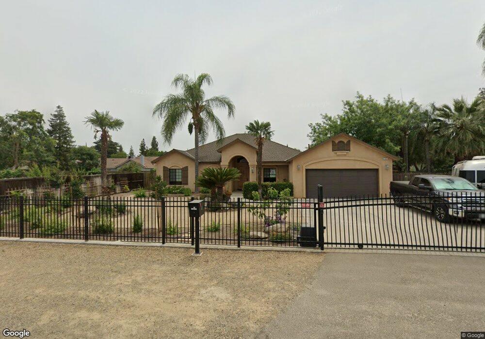
12 E Swift Ave Fresno, CA 93704
Fig Garden NeighborhoodEstimated Value: $456,131 - $511,000
4
Beds
2
Baths
2,012
Sq Ft
$239/Sq Ft
Est. Value
About This Home
This home is located at 12 E Swift Ave, Fresno, CA 93704 and is currently estimated at $480,283, approximately $238 per square foot. 12 E Swift Ave is a home located in Fresno County with nearby schools including Powers-Ginsburg Elementary, Bullard High School, and Endeavor Charter.
Ownership History
Date
Name
Owned For
Owner Type
Purchase Details
Closed on
Sep 23, 2022
Sold by
Collins Paul L and Arenas Patricia
Bought by
Collins Paul L and Collins Patricia A
Current Estimated Value
Purchase Details
Closed on
Nov 9, 2005
Sold by
Collins Paul L and Collins Patricia A
Bought by
Collins Paul L and Collins Patricia A Arenas
Home Financials for this Owner
Home Financials are based on the most recent Mortgage that was taken out on this home.
Original Mortgage
$270,000
Interest Rate
5.93%
Mortgage Type
New Conventional
Purchase Details
Closed on
Apr 16, 2002
Sold by
Staiger Construction Inc
Bought by
Collins Paul L and Collins Patricia A
Create a Home Valuation Report for This Property
The Home Valuation Report is an in-depth analysis detailing your home's value as well as a comparison with similar homes in the area
Home Values in the Area
Average Home Value in this Area
Purchase History
| Date | Buyer | Sale Price | Title Company |
|---|---|---|---|
| Collins Paul L | -- | -- | |
| Collins Paul L | -- | First American Title Ins Co | |
| Collins Paul L | $49,500 | Fidelity National Title Co |
Source: Public Records
Mortgage History
| Date | Status | Borrower | Loan Amount |
|---|---|---|---|
| Previous Owner | Collins Paul L | $270,000 |
Source: Public Records
Tax History Compared to Growth
Tax History
| Year | Tax Paid | Tax Assessment Tax Assessment Total Assessment is a certain percentage of the fair market value that is determined by local assessors to be the total taxable value of land and additions on the property. | Land | Improvement |
|---|---|---|---|---|
| 2025 | $3,489 | $293,270 | $71,686 | $221,584 |
| 2023 | $3,420 | $281,884 | $68,903 | $212,981 |
| 2022 | $3,372 | $276,357 | $67,552 | $208,805 |
| 2021 | $3,278 | $270,939 | $66,228 | $204,711 |
| 2020 | $3,080 | $253,400 | $70,700 | $182,700 |
| 2019 | $2,860 | $240,300 | $67,100 | $173,200 |
| 2018 | $2,797 | $235,700 | $65,800 | $169,900 |
| 2017 | $2,617 | $220,300 | $61,500 | $158,800 |
| 2016 | $2,493 | $213,100 | $59,493 | $153,607 |
| 2015 | $2,454 | $209,900 | $58,600 | $151,300 |
| 2014 | $2,294 | $196,600 | $54,900 | $141,700 |
Source: Public Records
Map
Nearby Homes
- 4481 N Palm Ave
- 82 E Sussex Way
- 94 E Sussex Way
- 4480 N Palm Ave
- 4175 N Van Ness Blvd
- 336 E Gettysburg Ave
- 3932 N Safford Ave
- 4246 N Holt Ave
- 4666 N Harrison Ave
- 4264 N Holt Ave
- 4261 N Holt Ave
- 4702 N Fruit Ave
- 4734 N Harrison Ave
- 1028 W Holland Ave
- 556 E Pontiac Way
- 638 W Rialto Ave
- 929 W Norwich Ave
- 4689 N Van Ness Blvd
- 1027 W Ashcroft Ave
- 4366 N Holt Ave
- 26 E Swift Ave
- 4278 N Thorne Ave
- 25 E Austin Way
- 7 E Swift Ave
- 4287 N Thorne Ave
- 48 E Swift Ave
- 35 E Swift Ave
- 4246 N Thorne Ave
- 4328 N Thorne Ave
- 64 E Swift Ave
- 28 E Austin Way
- 4273 N Thorne Ave
- 37 E Austin Way
- 119 W Swift Ave
- 36 E Austin Way
- 4234 N Thorne Ave
- 61 E Swift Ave
- 4333 N Thorne Ave
- 4235 N Thorne Ave
- 120 W Swift Ave