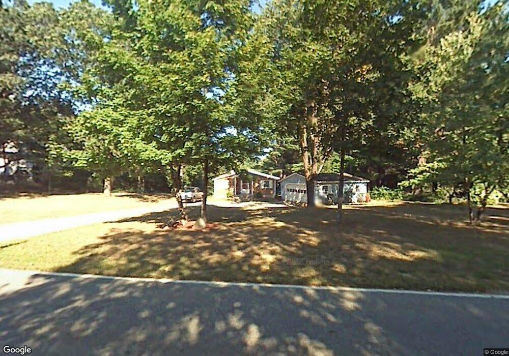
12 Forrest St Plaistow, NH 03865
Estimated Value: $464,000 - $495,000
2
Beds
1
Bath
1,120
Sq Ft
$425/Sq Ft
Est. Value
About This Home
This home is located at 12 Forrest St, Plaistow, NH 03865 and is currently estimated at $475,520, approximately $424 per square foot. 12 Forrest St is a home with nearby schools including Pollard Elementary School, Timberlane Regional Middle School, and Timberlane Regional High School.
Ownership History
Date
Name
Owned For
Owner Type
Purchase Details
Closed on
Oct 28, 2005
Sold by
Burchill Richard
Bought by
Breen Shirley
Current Estimated Value
Home Financials for this Owner
Home Financials are based on the most recent Mortgage that was taken out on this home.
Original Mortgage
$255,920
Interest Rate
5.79%
Purchase Details
Closed on
Sep 23, 2003
Sold by
Desroche Robert G and Desroche Doris L
Bought by
Burchill Richard
Create a Home Valuation Report for This Property
The Home Valuation Report is an in-depth analysis detailing your home's value as well as a comparison with similar homes in the area
Home Values in the Area
Average Home Value in this Area
Purchase History
| Date | Buyer | Sale Price | Title Company |
|---|---|---|---|
| Breen Shirley | $319,900 | -- | |
| Breen Shirley | $319,900 | -- | |
| Burchill Richard | $224,900 | -- |
Source: Public Records
Mortgage History
| Date | Status | Borrower | Loan Amount |
|---|---|---|---|
| Open | Burchill Richard | $284,000 | |
| Closed | Burchill Richard | $240,000 | |
| Closed | Burchill Richard | $24,200 | |
| Closed | Breen Shirley | $255,920 |
Source: Public Records
Tax History Compared to Growth
Tax History
| Year | Tax Paid | Tax Assessment Tax Assessment Total Assessment is a certain percentage of the fair market value that is determined by local assessors to be the total taxable value of land and additions on the property. | Land | Improvement |
|---|---|---|---|---|
| 2024 | $6,494 | $313,400 | $156,900 | $156,500 |
| 2023 | $7,001 | $313,400 | $156,900 | $156,500 |
| 2022 | $5,958 | $313,400 | $156,900 | $156,500 |
| 2021 | $5,942 | $313,400 | $156,900 | $156,500 |
| 2020 | $5,382 | $248,580 | $110,380 | $138,200 |
| 2019 | $5,297 | $248,580 | $110,380 | $138,200 |
| 2018 | $5,447 | $221,500 | $111,800 | $109,700 |
| 2017 | $5,298 | $221,100 | $111,800 | $109,300 |
| 2016 | $4,975 | $221,100 | $111,800 | $109,300 |
| 2015 | $5,216 | $215,910 | $118,710 | $97,200 |
| 2014 | $5,022 | $199,840 | $114,140 | $85,700 |
| 2011 | $4,837 | $195,740 | $114,140 | $81,600 |
Source: Public Records
Map
Nearby Homes
- 16 Forrest St
- 15 Canterbury Forest Unit B
- 58 Main St
- 3 W Pine St Unit 2
- 207 Oak Ridge Rd
- 15 W Pine St
- 23 W Pine St
- 8 May Ray Ave
- 15 Autumn Cir Unit A
- 15 Autumn Cir Unit B
- 12 Davis Park
- 48 Westville Rd Unit 2
- 1 Elm St
- 3 Elm St
- 8 Iris Way Unit 8
- 34 Bel's Way
- 63 Pollard Rd
- 38 Brickett Hill Cir Unit 38
- 119 Brickett Hill Cir Unit 119
- 175 Brickett Hill Cir Unit 175
- 10 Forrest St
- 14 Forrest St
- 11 Forrest St
- 13 Forrest St
- 7 Forrest St
- 8 Forrest St
- 10 Kingshaw Ave
- 5 Forrest St
- 8 Kingshaw Ave
- 9 Kingshaw Ave
- 1 Bailey Dr
- 6 Forrest St
- 2 Bailey Dr
- 7 Canterbury Forest
- 6 Kingshaw Ave
- 3 Congressional Ave
- 9 Canterbury Forest
- 9 Canterbury Forest
- 18 Forrest St
- 7 Kingshaw Ave