12 Forsyth Ct Cotuit, MA 02635
Cotuit NeighborhoodEstimated Value: $925,000 - $1,557,000
3
Beds
3
Baths
2,092
Sq Ft
$552/Sq Ft
Est. Value
About This Home
This home is located at 12 Forsyth Ct, Cotuit, MA 02635 and is currently estimated at $1,154,090, approximately $551 per square foot. 12 Forsyth Ct is a home located in Barnstable County with nearby schools including West Villages Elementary School, Barnstable United Elementary School, and Barnstable Intermediate School.
Ownership History
Date
Name
Owned For
Owner Type
Purchase Details
Closed on
May 18, 2021
Sold by
Kebhart Calvin J and Woodward Patricia A
Bought by
Patricia A Woodward T
Current Estimated Value
Purchase Details
Closed on
Sep 29, 2000
Sold by
Lipari Rt
Bought by
Kehbart Calvin J
Purchase Details
Closed on
Apr 17, 1990
Sold by
Hamblin Pond T
Bought by
Lipari Francis J
Create a Home Valuation Report for This Property
The Home Valuation Report is an in-depth analysis detailing your home's value as well as a comparison with similar homes in the area
Home Values in the Area
Average Home Value in this Area
Purchase History
| Date | Buyer | Sale Price | Title Company |
|---|---|---|---|
| Patricia A Woodward T | -- | None Available | |
| Kehbart Calvin J | $389,000 | -- | |
| Lipari Francis J | $295,000 | -- |
Source: Public Records
Mortgage History
| Date | Status | Borrower | Loan Amount |
|---|---|---|---|
| Previous Owner | Lipari Francis J | $215,000 | |
| Previous Owner | Lipari Francis J | $246,000 |
Source: Public Records
Tax History
| Year | Tax Paid | Tax Assessment Tax Assessment Total Assessment is a certain percentage of the fair market value that is determined by local assessors to be the total taxable value of land and additions on the property. | Land | Improvement |
|---|---|---|---|---|
| 2025 | $7,360 | $881,400 | $301,300 | $580,100 |
| 2024 | $6,699 | $850,100 | $301,300 | $548,800 |
| 2023 | $6,568 | $784,700 | $298,200 | $486,500 |
| 2022 | $6,199 | $599,500 | $191,400 | $408,100 |
| 2021 | $6,130 | $555,200 | $203,400 | $351,800 |
| 2020 | $6,702 | $572,300 | $229,200 | $343,100 |
| 2019 | $6,491 | $546,400 | $241,800 | $304,600 |
| 2018 | $6,020 | $506,700 | $241,400 | $265,300 |
| 2017 | $6,014 | $509,700 | $248,100 | $261,600 |
| 2016 | $5,932 | $515,400 | $253,800 | $261,600 |
| 2015 | $5,606 | $486,600 | $238,800 | $247,800 |
Source: Public Records
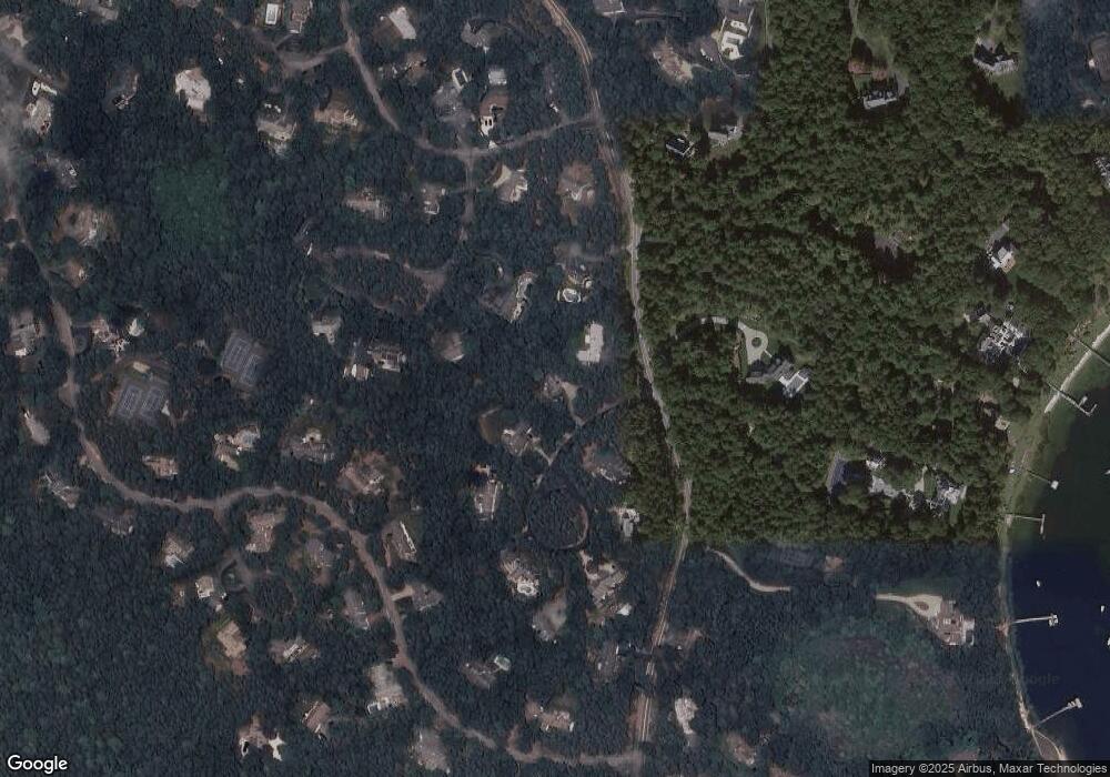
Map
Nearby Homes
- 165 Baxter Neck Rd
- 564 Cotuit Bay Dr
- 564 Cotuit Bay Dr
- 835 Old Post Rd
- 359 Baxter Neck Rd
- 71 Sand Point
- 602 Putnam Ave
- 1415 Old Post Rd
- 280 Ice Valley Rd
- 15 Geraldine Rd
- 25 Oyster Way
- 98 Bunker Hill Rd
- 135 Putnam Avenue (Land)
- 68 Hilltop Dr
- 67 Fire Station Rd
- 804 Main St
- 440 Grand Island Dr
- 1456 Santuit-Newtown Rd
- 33 Oyster Place Rd
- 916 Main St
- 1034 Old Post Rd
- 24 Forsyth Ct
- 35 Forsyth Ct
- 38 Eaton Ct
- 24 Eaton Ct
- 1054 Old Post Rd
- 36 Forsyth Ct
- 45 Forsyth Ct
- 44 Eaton Ct
- 23 Cotuit Bay Dr
- 46 Forsyth Ct
- 481 Cotuit Bay Dr
- 9 Cotuit Bay Dr
- 465 Cotuit Bay Dr
- 55 Forsyth Ct
- 1045 Old Post Rd
- 15 Eaton Ct
- 451 Cotuit Bay Dr
- 501 Cotuit Bay Dr
- 59 Forsyth Ct
Your Personal Tour Guide
Ask me questions while you tour the home.