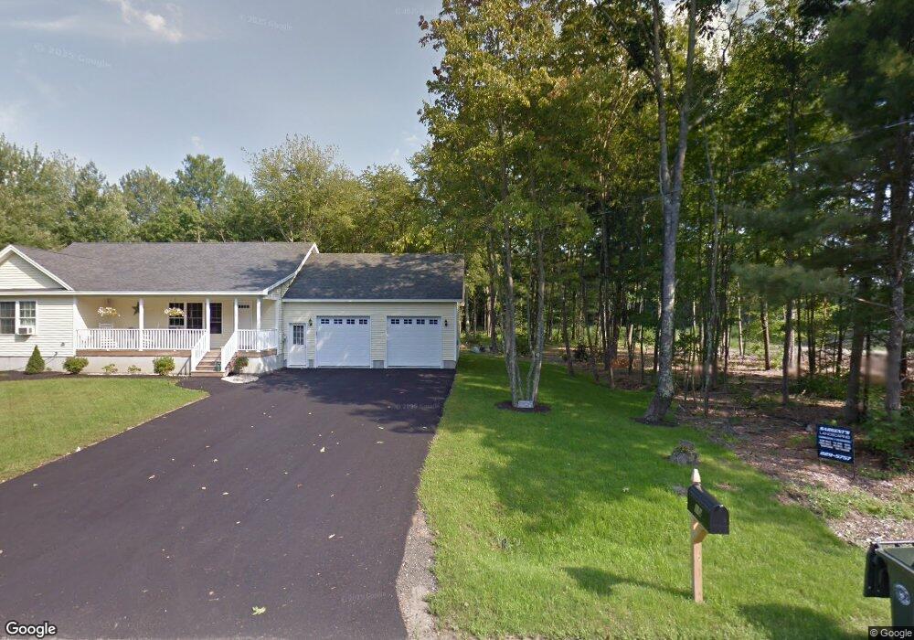
12 Foss Rd Unit B Saco, ME 04072
North Saco NeighborhoodEstimated Value: $571,000 - $619,858
3
Beds
2
Baths
1,309
Sq Ft
$451/Sq Ft
Est. Value
About This Home
This home is located at 12 Foss Rd Unit B, Saco, ME 04072 and is currently estimated at $590,465, approximately $451 per square foot. 12 Foss Rd Unit B is a home located in York County with nearby schools including C K Burns School, Saco Middle School, and Saint James School.
Ownership History
Date
Name
Owned For
Owner Type
Purchase Details
Closed on
Jul 21, 2020
Sold by
Hooper Jeffrey A
Bought by
Glenn Christopher J
Current Estimated Value
Home Financials for this Owner
Home Financials are based on the most recent Mortgage that was taken out on this home.
Original Mortgage
$357,930
Outstanding Balance
$317,389
Interest Rate
3.1%
Mortgage Type
New Conventional
Estimated Equity
$273,076
Purchase Details
Closed on
Sep 1, 2011
Sold by
White Lori and White Shawn
Bought by
Zehner Matthew L
Purchase Details
Closed on
Oct 31, 2007
Sold by
Zehner Ronald R
Bought by
Zehner Matthew L
Create a Home Valuation Report for This Property
The Home Valuation Report is an in-depth analysis detailing your home's value as well as a comparison with similar homes in the area
Home Values in the Area
Average Home Value in this Area
Purchase History
| Date | Buyer | Sale Price | Title Company |
|---|---|---|---|
| Glenn Christopher J | -- | None Available | |
| Zehner Matthew L | -- | -- | |
| Zehner Matthew L | -- | -- |
Source: Public Records
Mortgage History
| Date | Status | Borrower | Loan Amount |
|---|---|---|---|
| Open | Glenn Christopher J | $357,930 |
Source: Public Records
Tax History Compared to Growth
Tax History
| Year | Tax Paid | Tax Assessment Tax Assessment Total Assessment is a certain percentage of the fair market value that is determined by local assessors to be the total taxable value of land and additions on the property. | Land | Improvement |
|---|---|---|---|---|
| 2024 | $6,251 | $444,900 | $146,000 | $298,900 |
| 2023 | $6,562 | $444,900 | $146,000 | $298,900 |
| 2022 | $5,873 | $320,400 | $111,200 | $209,200 |
| 2021 | $5,598 | $296,500 | $99,400 | $197,100 |
| 2020 | $5,313 | $270,100 | $87,500 | $182,600 |
| 2019 | $5,235 | $270,100 | $87,500 | $182,600 |
| 2018 | $4,655 | $262,100 | $79,500 | $182,600 |
| 2017 | $4,990 | $257,500 | $72,500 | $185,000 |
| 2016 | $4,655 | $239,700 | $55,600 | $184,100 |
| 2015 | $4,563 | $237,400 | $55,600 | $181,800 |
| 2014 | $4,420 | $237,400 | $55,600 | $181,800 |
| 2013 | $4,255 | $229,000 | $55,600 | $173,400 |
Source: Public Records
Map
Nearby Homes
- Lot 2 TBD Bobby Ave
- 10 Jeffrey Ave
- 37 Douglas Ave
- 48 Hillview Ave
- 43 New County Rd
- 4 Spool St Unit 101
- 224 New County Rd
- 8 Nottingham Dr
- 48 Garfield St Unit 9
- lot 2 June Dr
- lot 3 June Dr
- 295 Buxton Rd
- 7 Hubbard St
- 12 Shadagee Rd
- TBD Cribble Cove Rd
- 11 Brentwood Cir
- 4 Smutty Ln
- 3 Labonte Ave E
- 18 Therrien Ave
- 436 Flag Pond Rd