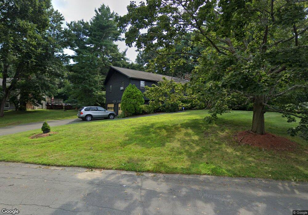
12 Hancock Cir Methuen, MA 01844
The East End NeighborhoodEstimated Value: $574,000 - $624,000
4
Beds
1
Bath
1,466
Sq Ft
$408/Sq Ft
Est. Value
About This Home
This home is located at 12 Hancock Cir, Methuen, MA 01844 and is currently estimated at $598,049, approximately $407 per square foot. 12 Hancock Cir is a home located in Essex County with nearby schools including Timony Grammar School, South Point Elementary School, and Methuen High School.
Ownership History
Date
Name
Owned For
Owner Type
Purchase Details
Closed on
Oct 18, 2016
Sold by
Heard Robert C and Phillips-Heard Lynn E
Bought by
Heard 2016 T
Current Estimated Value
Purchase Details
Closed on
Jun 1, 1981
Bought by
Heard Robert
Create a Home Valuation Report for This Property
The Home Valuation Report is an in-depth analysis detailing your home's value as well as a comparison with similar homes in the area
Home Values in the Area
Average Home Value in this Area
Purchase History
| Date | Buyer | Sale Price | Title Company |
|---|---|---|---|
| Heard 2016 T | -- | -- | |
| Heard Robert | -- | -- |
Source: Public Records
Mortgage History
| Date | Status | Borrower | Loan Amount |
|---|---|---|---|
| Previous Owner | Heard Robert | $100,000 | |
| Previous Owner | Heard Robert | $74,234 | |
| Previous Owner | Heard Robert | $30,000 | |
| Previous Owner | Heard Robert | $25,000 |
Source: Public Records
Tax History Compared to Growth
Tax History
| Year | Tax Paid | Tax Assessment Tax Assessment Total Assessment is a certain percentage of the fair market value that is determined by local assessors to be the total taxable value of land and additions on the property. | Land | Improvement |
|---|---|---|---|---|
| 2025 | $5,358 | $506,400 | $238,800 | $267,600 |
| 2024 | $5,396 | $496,900 | $217,900 | $279,000 |
| 2023 | $5,085 | $434,600 | $193,700 | $240,900 |
| 2022 | $4,864 | $372,700 | $161,400 | $211,300 |
| 2021 | $4,614 | $349,800 | $153,300 | $196,500 |
| 2020 | $4,582 | $340,900 | $153,300 | $187,600 |
| 2019 | $4,412 | $310,900 | $137,200 | $173,700 |
| 2018 | $4,261 | $298,600 | $137,200 | $161,400 |
| 2017 | $4,103 | $280,100 | $137,200 | $142,900 |
| 2016 | $3,936 | $265,800 | $129,100 | $136,700 |
| 2015 | $3,835 | $262,700 | $129,100 | $133,600 |
Source: Public Records
Map
Nearby Homes
- 174 Pleasant St
- 35 Stillwater Rd
- 687 Jackson St
- 15 Junior Ave
- 52 High St Unit 5
- 64-66 Howe St
- 48 Larchwood Rd
- 40 Carol Ave
- 26 Gage St
- 87 Oakside Ave
- 18 Larchwood Rd
- 82 Oakside Ave
- 83 Oakside Ave
- 43 Duston Dr
- 37 Albion St
- 7 Magnolia Rd
- 3 Woekel Terrace
- 183 Berkeley St
- 45 Washington St Unit 55
- 100-102 Phillips St
- 8 Hancock Cir
- 16 Hancock Cir
- 6 Brookfield Rd
- 2 Brookfield Rd
- 20 Hancock Cir
- 11 Hancock Cir
- 10 Brookfield Rd
- 4 Hancock Cir
- 7 Hancock Cir
- 15 Hancock Cir
- 1 Brookfield Rd
- 0 Brookfield Rd
- 5 Brookfield Rd
- 19 Hancock Cir
- 3 Hancock Cir
- 39 Sycamore Rd
- 14 Brookfield Rd
- 162 Pleasant St
- 11 Brookfield Rd
- 168 Pleasant St