12 Harrington Point Conneaut, OH 44030
Estimated Value: $196,000 - $491,000
4
Beds
4
Baths
1,512
Sq Ft
$226/Sq Ft
Est. Value
About This Home
This home is located at 12 Harrington Point, Conneaut, OH 44030 and is currently estimated at $342,296, approximately $226 per square foot. 12 Harrington Point is a home located in Ashtabula County with nearby schools including Lakeshore Primary Elementary School, Gateway Elementary School, and Conneaut Middle School.
Ownership History
Date
Name
Owned For
Owner Type
Purchase Details
Closed on
Dec 28, 2015
Sold by
Revocab Tyson Michael E
Bought by
Tyson Ryan M and Tyson Nicole L
Current Estimated Value
Home Financials for this Owner
Home Financials are based on the most recent Mortgage that was taken out on this home.
Original Mortgage
$250,000
Outstanding Balance
$198,635
Interest Rate
3.93%
Mortgage Type
Unknown
Estimated Equity
$143,661
Purchase Details
Closed on
Nov 19, 2003
Sold by
Tyson Michael E and Tyson Ruth Ann
Bought by
Michael E Tyson Funded Revocable Trust
Create a Home Valuation Report for This Property
The Home Valuation Report is an in-depth analysis detailing your home's value as well as a comparison with similar homes in the area
Home Values in the Area
Average Home Value in this Area
Purchase History
| Date | Buyer | Sale Price | Title Company |
|---|---|---|---|
| Tyson Ryan M | $250,000 | Attorney | |
| Michael E Tyson Funded Revocable Trust | -- | -- |
Source: Public Records
Mortgage History
| Date | Status | Borrower | Loan Amount |
|---|---|---|---|
| Open | Tyson Ryan M | $250,000 |
Source: Public Records
Tax History Compared to Growth
Tax History
| Year | Tax Paid | Tax Assessment Tax Assessment Total Assessment is a certain percentage of the fair market value that is determined by local assessors to be the total taxable value of land and additions on the property. | Land | Improvement |
|---|---|---|---|---|
| 2024 | $6,985 | $95,490 | $20,410 | $75,080 |
| 2023 | $4,503 | $95,490 | $20,410 | $75,080 |
| 2022 | $3,819 | $71,340 | $15,720 | $55,620 |
| 2021 | $3,885 | $71,340 | $15,720 | $55,620 |
| 2020 | $3,882 | $71,340 | $15,720 | $55,620 |
| 2019 | $3,394 | $61,220 | $18,870 | $42,350 |
| 2018 | $3,238 | $61,220 | $18,870 | $42,350 |
| 2017 | $3,233 | $61,220 | $18,870 | $42,350 |
| 2016 | $2,175 | $44,670 | $15,720 | $28,950 |
| 2015 | $2,197 | $44,670 | $15,720 | $28,950 |
| 2014 | $1,895 | $44,670 | $15,720 | $28,950 |
| 2013 | $1,680 | $40,750 | $10,050 | $30,700 |
Source: Public Records
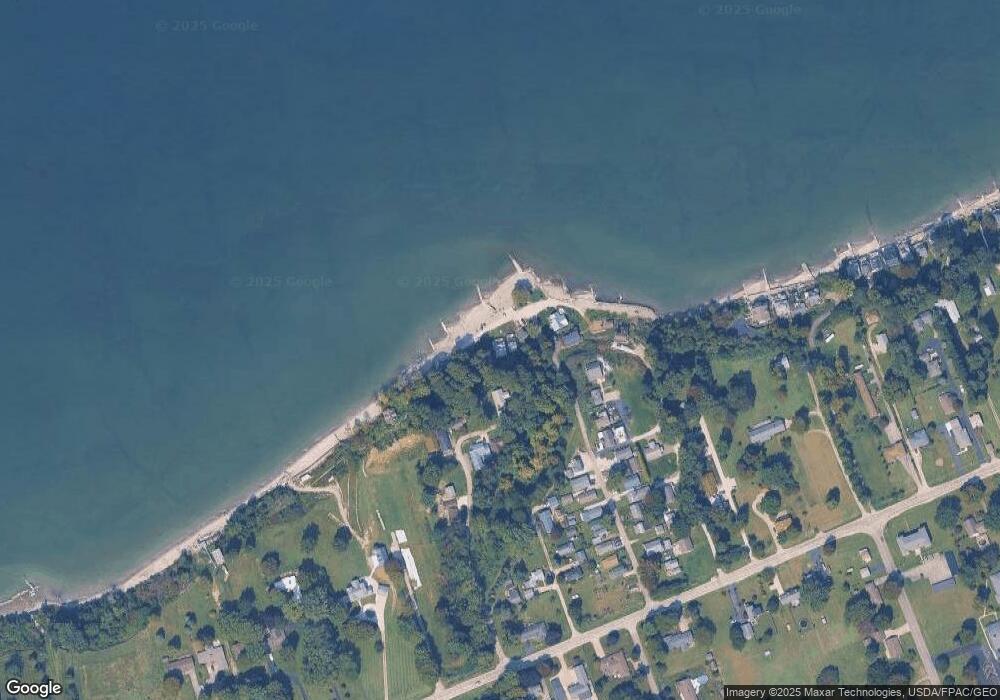
Map
Nearby Homes
- 2663 Lake Rd
- 1185 Lake Rd
- 1145 Lake Rd
- 1300 Lake Rd
- 1036 Golfview Dr
- 139 Salisbury Rd
- 202 W Main Rd Unit Lot 150
- 210 W Main Rd
- 320 W Main Rd
- 247 Whitney St
- 106 Margor Dr
- 681 Madison St
- 919 Lincoln Dr
- 40 Oakland Blvd
- 0 Chestnut St Unit 5120761
- 716 Chestnut St
- 527 State St
- 429 Depot St
- 405 Bliss Ave
- 381 Bliss Ave
- 14 Harrington Point
- 1178 Lake Rd
- 11 Landing Ln
- 1180 Lake Rd Unit 2
- 1180 Lake Rd
- 1180 Lake Rd Unit 3
- 79 Harrington Point
- 77 Harrington Point
- 80 Harrington Point
- 76 Harrington Point
- 1172 Lake Rd
- 82 Harrington Point
- 75 Harrington Point
- 7 Landing Ln
- 74 Harrington Point
- 73 Harrington Point
- 0 Eaton Ave
- 71 Harrington Point
- 61 Harrington Point
- 1182 Lake Rd