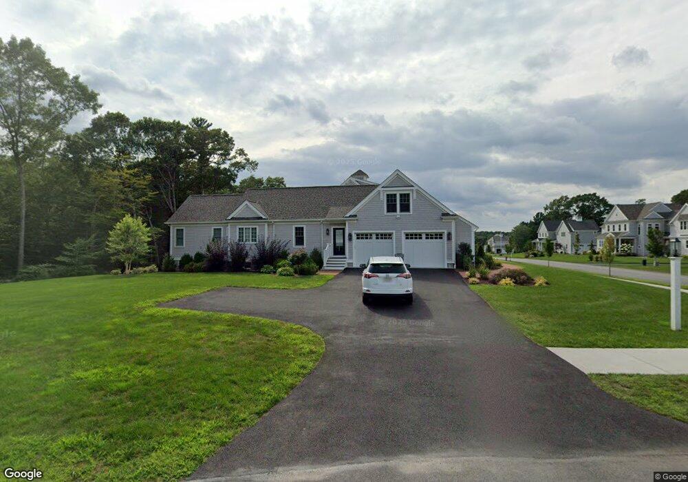
12 Horseshoe Ln Marshfield, MA 02050
Estimated Value: $1,630,026 - $1,857,000
4
Beds
3
Baths
3,639
Sq Ft
$470/Sq Ft
Est. Value
About This Home
This home is located at 12 Horseshoe Ln, Marshfield, MA 02050 and is currently estimated at $1,710,757, approximately $470 per square foot. 12 Horseshoe Ln is a home with nearby schools including Martinson Elementary School, Furnace Brook Middle School, and Marshfield High School.
Ownership History
Date
Name
Owned For
Owner Type
Purchase Details
Closed on
Aug 4, 2020
Sold by
Prosper James F and Mcdonnell Kathleen A
Bought by
Prosper Mcdonnell Ret and Prosper
Current Estimated Value
Purchase Details
Closed on
Nov 20, 2017
Sold by
Horseshoe Farm Llc
Bought by
Proper James F and Mcdonnell Kathleen A
Home Financials for this Owner
Home Financials are based on the most recent Mortgage that was taken out on this home.
Original Mortgage
$858,752
Interest Rate
3.5%
Mortgage Type
New Conventional
Create a Home Valuation Report for This Property
The Home Valuation Report is an in-depth analysis detailing your home's value as well as a comparison with similar homes in the area
Home Values in the Area
Average Home Value in this Area
Purchase History
| Date | Buyer | Sale Price | Title Company |
|---|---|---|---|
| Prosper Mcdonnell Ret | -- | None Available | |
| Prosper Mcdonnell Ret | -- | None Available | |
| Proper James F | $279,000 | -- |
Source: Public Records
Mortgage History
| Date | Status | Borrower | Loan Amount |
|---|---|---|---|
| Previous Owner | Proper James F | $858,752 |
Source: Public Records
Tax History Compared to Growth
Tax History
| Year | Tax Paid | Tax Assessment Tax Assessment Total Assessment is a certain percentage of the fair market value that is determined by local assessors to be the total taxable value of land and additions on the property. | Land | Improvement |
|---|---|---|---|---|
| 2025 | $17,132 | $1,730,500 | $352,300 | $1,378,200 |
| 2024 | $16,568 | $1,594,600 | $331,600 | $1,263,000 |
| 2023 | $16,317 | $1,402,500 | $298,500 | $1,104,000 |
| 2022 | $16,317 | $1,260,000 | $248,700 | $1,011,300 |
| 2021 | $13,296 | $1,008,000 | $248,700 | $759,300 |
| 2020 | $14,426 | $1,082,200 | $248,700 | $833,500 |
| 2019 | $9,643 | $720,700 | $248,700 | $472,000 |
| 2018 | $3,325 | $248,700 | $248,700 | $0 |
| 2017 | $3,412 | $248,700 | $248,700 | $0 |
| 2016 | $3,020 | $217,600 | $217,600 | $0 |
Source: Public Records
Map
Nearby Homes
- 32 Carolyn Cir
- 64 Carolyn Cir
- 480 Pleasant St
- 1 Valley Path
- 55 Macombers Way
- 76 Macombers Way
- 26 Damons Point Cir
- 908 Main St
- 9 Cushing Park Rd
- 1155 Main St
- 10 Penstock Ln
- 250 River St
- 260 River St
- 17 Old Oaken Bucket Rd
- 734 Main St
- 29 Ladds Way Unit 29
- 10 Shrine Rd
- 19 Ford Place Unit 3
- 19 Ford Place Unit 1
- 252 Winter St