12 Howbrigg Ln Calais, ME 04619
Estimated Value: $151,511 - $446,000
4
Beds
2
Baths
960
Sq Ft
$246/Sq Ft
Est. Value
About This Home
This home is located at 12 Howbrigg Ln, Calais, ME 04619 and is currently estimated at $235,878, approximately $245 per square foot. 12 Howbrigg Ln is a home with nearby schools including Calais Elementary School and Calais Middle/High School.
Ownership History
Date
Name
Owned For
Owner Type
Purchase Details
Closed on
Mar 15, 2024
Sold by
Howbrigg Paul
Bought by
Tracey Patricia R
Current Estimated Value
Home Financials for this Owner
Home Financials are based on the most recent Mortgage that was taken out on this home.
Original Mortgage
$118,316
Outstanding Balance
$115,822
Interest Rate
5.95%
Mortgage Type
FHA
Estimated Equity
$120,056
Create a Home Valuation Report for This Property
The Home Valuation Report is an in-depth analysis detailing your home's value as well as a comparison with similar homes in the area
Home Values in the Area
Average Home Value in this Area
Purchase History
| Date | Buyer | Sale Price | Title Company |
|---|---|---|---|
| Tracey Patricia R | $120,500 | None Available | |
| Tracey Patricia R | $120,500 | None Available |
Source: Public Records
Mortgage History
| Date | Status | Borrower | Loan Amount |
|---|---|---|---|
| Open | Tracey Patricia R | $118,316 | |
| Closed | Tracey Patricia R | $118,316 |
Source: Public Records
Tax History
| Year | Tax Paid | Tax Assessment Tax Assessment Total Assessment is a certain percentage of the fair market value that is determined by local assessors to be the total taxable value of land and additions on the property. | Land | Improvement |
|---|---|---|---|---|
| 2024 | $1,980 | $132,000 | $22,600 | $109,400 |
| 2023 | $4,175 | $245,600 | $29,500 | $216,100 |
| 2022 | $3,770 | $198,400 | $23,800 | $174,600 |
| 2021 | $4,108 | $190,200 | $22,800 | $167,400 |
| 2020 | $4,116 | $162,700 | $19,600 | $143,100 |
| 2019 | $4,116 | $162,700 | $19,600 | $143,100 |
| 2018 | $4,116 | $162,700 | $19,600 | $143,100 |
| 2017 | $4,116 | $162,700 | $19,600 | $143,100 |
| 2016 | $4,116 | $162,700 | $19,600 | $143,100 |
| 2015 | $4,116 | $162,700 | $19,600 | $143,100 |
| 2014 | $4,116 | $162,700 | $19,600 | $143,100 |
| 2013 | $4,116 | $162,700 | $19,600 | $143,100 |
Source: Public Records
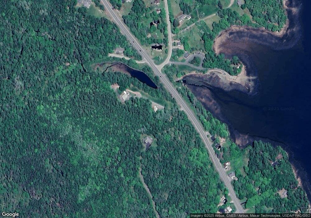
Map
Nearby Homes
- 50 Eagle Cove Ln
- 27 U S Route 1
- 9 A Frame Ln
- 100 U S 1
- Map3Lot57 Little Doucet Island
- 12 Dochet Ln
- M6 L60-65 Gravel Rd
- 479 U S 1
- M16L10 S River Rd
- Lot 4 Off Western Lake Rd
- 00 S River Rd
- 69 Hodgins Ln
- Deer Point W Unit B
- 167 Sweeney Rd
- 3 Steam Mill Rd
- Lot 7BH Steam Mill Rd
- Lot B Deer Point W
- 68 Robbins Rd
- 24 Deer Point W
- 101 S River Rd
- 1366 1368 River Rd
- 15 Plaster Mill Dr
- XXXX River Rd
- 145 Saint Croix Dr
- 1558 River Rd
- 78 Saint Croix Dr
- 71 Saint Croix Dr
- 67 Saint Croix Dr
- 1572 River Rd
- 1579 River Rd
- 1498 River Rd
- 1583 River Rd
- 1481 River Rd
- 1584 River Rd
- 15 Shattuck Rd
- 51 Saint Croix Dr
- 23 Shattuck Rd
- 1589 River Rd
- 1590 River Rd
- Lt 015-001 Saint Croix Dr
Your Personal Tour Guide
Ask me questions while you tour the home.