12 Independence Way Unit A Laconia, NH 03246
Estimated Value: $514,410 - $711,000
3
Beds
2
Baths
1,548
Sq Ft
$373/Sq Ft
Est. Value
About This Home
This home is located at 12 Independence Way Unit A, Laconia, NH 03246 and is currently estimated at $576,853, approximately $372 per square foot. 12 Independence Way Unit A is a home located in Belknap County with nearby schools including Laconia Middle School, Laconia High School, and Laconia Christian Academy.
Ownership History
Date
Name
Owned For
Owner Type
Purchase Details
Closed on
Dec 22, 2020
Sold by
Vansteensburg Paul J and Vansteensburg Rita P
Bought by
R & P Vansteensburg Ft
Current Estimated Value
Purchase Details
Closed on
Feb 8, 1988
Bought by
Vansteensburg Rita and Vansteensburg Paul
Create a Home Valuation Report for This Property
The Home Valuation Report is an in-depth analysis detailing your home's value as well as a comparison with similar homes in the area
Home Values in the Area
Average Home Value in this Area
Purchase History
| Date | Buyer | Sale Price | Title Company |
|---|---|---|---|
| R & P Vansteensburg Ft | -- | None Available | |
| Vansteensburg Rita | $116,900 | -- |
Source: Public Records
Mortgage History
| Date | Status | Borrower | Loan Amount |
|---|---|---|---|
| Previous Owner | Vansteensburg Rita | $126,500 | |
| Previous Owner | Vansteensburg Rita | $50,000 | |
| Previous Owner | Vansteensburg Rita | $50,000 |
Source: Public Records
Tax History Compared to Growth
Tax History
| Year | Tax Paid | Tax Assessment Tax Assessment Total Assessment is a certain percentage of the fair market value that is determined by local assessors to be the total taxable value of land and additions on the property. | Land | Improvement |
|---|---|---|---|---|
| 2024 | $6,110 | $448,300 | $0 | $448,300 |
| 2023 | $5,827 | $418,900 | $0 | $418,900 |
| 2022 | $5,655 | $380,800 | $0 | $380,800 |
| 2021 | $4,470 | $237,000 | $0 | $237,000 |
| 2020 | $4,031 | $204,400 | $0 | $204,400 |
| 2019 | $4,075 | $197,900 | $0 | $197,900 |
| 2018 | $3,872 | $185,700 | $0 | $185,700 |
| 2017 | $3,394 | $161,400 | $0 | $161,400 |
| 2016 | $4,060 | $182,900 | $0 | $182,900 |
| 2015 | $3,670 | $165,300 | $0 | $165,300 |
| 2014 | $3,703 | $165,300 | $0 | $165,300 |
| 2013 | $3,573 | $161,800 | $0 | $161,800 |
Source: Public Records
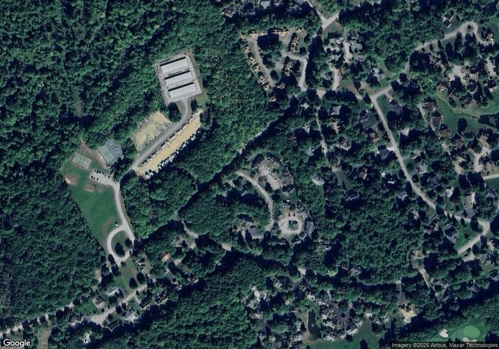
Map
Nearby Homes
- 6 Independence Way Unit A
- 25 Sweetbrier Way
- 37 Alpine Cir Unit A
- 53 Drummer Trail
- 8 Crane Cir Unit B
- 11 Lantern Cir
- 00000 Severance Rd
- 74 Paugus Park Rd
- 3 Western Terrace
- 90 Paugus Park Rd
- 12 Clover Ln
- 2 Clover Ln
- 1 Clover Ln Unit 1
- 16 Hackberry Ln
- 20 Linny Ln
- 224 Long Bay Dr
- 6 Anthony Dr
- 34 Kristen Dr
- 37 Drew Ln
- 12 Drew Ln
- 12 Independence Way Unit 12B
- 11 Constitution Way
- 53 Patriots Dr Unit B
- 53 Patriots Dr Unit A
- 54 Patriots Dr Unit C
- 54 Patriots Dr Unit B
- 54 Patriots Dr Unit A
- 6 Independence Way Unit A
- 6 Independence Way Unit B
- 6 Independence Way Unit C
- 10 Independence Way Unit A
- 10 Independence Way Unit B
- 10 Independence Way Unit C
- 12 Independence Way Unit B
- 12 Independence Way Unit C
- 16 Independence Way Unit A
- 16 Independence Way Unit B
- 11 Williamsburg Cir
- 3 Williamsburg Cir Unit C
- 3 Williamsburg Cir Unit B