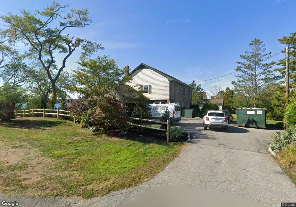
12 Island Rock Ln Gloucester, MA 01930
East Gloucester NeighborhoodEstimated Value: $2,697,000 - $3,262,698
4
Beds
3
Baths
3,078
Sq Ft
$990/Sq Ft
Est. Value
About This Home
This home is located at 12 Island Rock Ln, Gloucester, MA 01930 and is currently estimated at $3,046,233, approximately $989 per square foot. 12 Island Rock Ln is a home located in Essex County with nearby schools including East Gloucester Elementary School, Ralph B O'maley Middle School, and Faith Christian School.
Ownership History
Date
Name
Owned For
Owner Type
Purchase Details
Closed on
Dec 15, 2009
Sold by
Whitten Bradford D and Whitten Geneva B
Bought by
Whitten Island Rock Nt
Current Estimated Value
Purchase Details
Closed on
Jul 28, 1998
Sold by
Baldwin David E and Baldwin P Rose
Bought by
Whitten Bradford D and Whitten Geneva B
Home Financials for this Owner
Home Financials are based on the most recent Mortgage that was taken out on this home.
Original Mortgage
$150,000
Interest Rate
7.11%
Create a Home Valuation Report for This Property
The Home Valuation Report is an in-depth analysis detailing your home's value as well as a comparison with similar homes in the area
Home Values in the Area
Average Home Value in this Area
Purchase History
| Date | Buyer | Sale Price | Title Company |
|---|---|---|---|
| Whitten Island Rock Nt | -- | -- | |
| Whitten Bradford D | $627,500 | -- |
Source: Public Records
Mortgage History
| Date | Status | Borrower | Loan Amount |
|---|---|---|---|
| Previous Owner | Whitten Bradford D | $150,000 |
Source: Public Records
Tax History Compared to Growth
Tax History
| Year | Tax Paid | Tax Assessment Tax Assessment Total Assessment is a certain percentage of the fair market value that is determined by local assessors to be the total taxable value of land and additions on the property. | Land | Improvement |
|---|---|---|---|---|
| 2025 | $27,253 | $2,803,800 | $1,773,600 | $1,030,200 |
| 2024 | $26,013 | $2,673,500 | $1,643,300 | $1,030,200 |
| 2023 | $24,440 | $2,307,800 | $1,401,400 | $906,400 |
| 2022 | $23,682 | $2,018,900 | $1,218,700 | $800,200 |
| 2021 | $23,014 | $1,850,000 | $1,108,400 | $741,600 |
| 2020 | $22,777 | $1,847,300 | $1,108,400 | $738,900 |
| 2019 | $21,860 | $1,722,600 | $1,056,800 | $665,800 |
| 2018 | $21,275 | $1,645,400 | $1,031,000 | $614,400 |
| 2017 | $20,661 | $1,566,400 | $981,100 | $585,300 |
| 2016 | $19,905 | $1,462,500 | $938,200 | $524,300 |
| 2015 | $19,177 | $1,404,900 | $916,800 | $488,100 |
Source: Public Records
Map
Nearby Homes
- 9 Raven Ln Unit U:B-6
- 62 Eastern Point Rd Unit 3
- 7 Hawthorne Ln
- 4 Hillside Rd
- 7 Rackliffe St Unit 1
- 1 Wonson St
- 30 Grapevine Rd
- 58 Eastern Point Blvd
- 73 Rocky Neck Ave Unit 2
- 60 Rocky Neck Ave Unit 202
- 10 Seaview Rd
- 197 E Main St
- 197 E Main St Unit 1
- 197 E Main St Unit 2
- 197 E Main St Unit 1 & 2
- 5 Elm Ave
- 100 Eastern Point Blvd
- 30 Chapel St Unit B
- 20 Calder St
- 191 Main St Unit 2B