12 Jamison Place Manchester, ME 04351
Estimated Value: $574,000 - $792,000
4
Beds
3
Baths
2,760
Sq Ft
$233/Sq Ft
Est. Value
About This Home
This home is located at 12 Jamison Place, Manchester, ME 04351 and is currently estimated at $643,798, approximately $233 per square foot. 12 Jamison Place is a home located in Kennebec County.
Ownership History
Date
Name
Owned For
Owner Type
Purchase Details
Closed on
Jul 10, 2015
Sold by
Root Brian J and Root Alyson K
Bought by
Beyea Matthew C and Beyea Annette M
Current Estimated Value
Home Financials for this Owner
Home Financials are based on the most recent Mortgage that was taken out on this home.
Original Mortgage
$369,000
Outstanding Balance
$265,896
Interest Rate
3.87%
Mortgage Type
New Conventional
Estimated Equity
$377,902
Create a Home Valuation Report for This Property
The Home Valuation Report is an in-depth analysis detailing your home's value as well as a comparison with similar homes in the area
Home Values in the Area
Average Home Value in this Area
Purchase History
| Date | Buyer | Sale Price | Title Company |
|---|---|---|---|
| Beyea Matthew C | -- | -- |
Source: Public Records
Mortgage History
| Date | Status | Borrower | Loan Amount |
|---|---|---|---|
| Open | Beyea Matthew C | $369,000 |
Source: Public Records
Tax History Compared to Growth
Tax History
| Year | Tax Paid | Tax Assessment Tax Assessment Total Assessment is a certain percentage of the fair market value that is determined by local assessors to be the total taxable value of land and additions on the property. | Land | Improvement |
|---|---|---|---|---|
| 2024 | $6,039 | $363,800 | $61,200 | $302,600 |
| 2023 | $6,039 | $363,800 | $61,200 | $302,600 |
| 2022 | $5,730 | $363,800 | $61,200 | $302,600 |
| 2021 | $5,821 | $363,800 | $61,200 | $302,600 |
| 2020 | $6,367 | $363,800 | $61,200 | $302,600 |
| 2019 | $6,007 | $341,300 | $61,200 | $280,100 |
| 2018 | $5,922 | $341,300 | $61,200 | $280,100 |
| 2017 | $5,768 | $341,300 | $61,200 | $280,100 |
| 2016 | $5,597 | $341,300 | $61,200 | $280,100 |
| 2015 | $5,265 | $330,100 | $61,200 | $268,900 |
| 2013 | $4,935 | $330,100 | $61,200 | $268,900 |
Source: Public Records
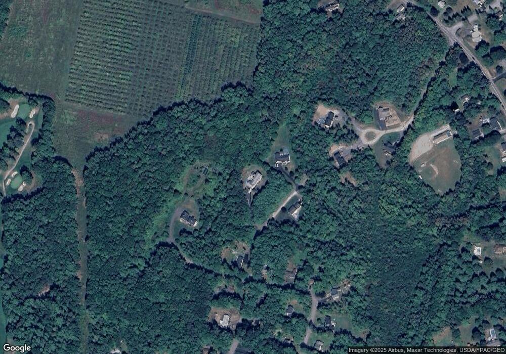
Map
Nearby Homes
- 26 Peggy Ln
- 0 Ingraham St
- 33 Woodridge Dr
- 0 Cross St
- 35 Estates Dr Unit 3
- 43 Estates Dr Unit 1
- 2549 US Route 202
- 693- B Western Ave
- 0 Allen Hill Ln
- 226 Pond Rd
- TBD Pond Rd
- 424 Winthrop St
- 165 Wade Rd
- 340 Stanley Rd
- 772 Prescott Rd
- 19 Windy Meadows Dr
- 333 Stanley Rd
- Lot 55 S Birchwood Ln
- 252 Meadowhill Rd
- 3 Tallwood Rd
- 26 Jamison Place
- 19 Jamison Place
- 15 Birch Hill Dr
- 4 Jamison Place
- 64 Sylvan Way
- 70 Sylvan Way
- 76 Sylvan Way
- 65 Sylvan Way
- 54 Sylvan Way
- 98 Woodridge Dr
- 24 Peggy Ln
- 49 Sylvan Way
- 99 Woodridge Dr
- 48 Sylvan Way
- 90 Woodridge Dr
- 70 Country Club Rd
- 41 Sylvan Way
- 91 Woodridge Dr
- 53 Country Club Rd Unit 2
- 84 Woodridge Dr