12 John Rd Sutton, MA 01590
Estimated Value: $3,300,253
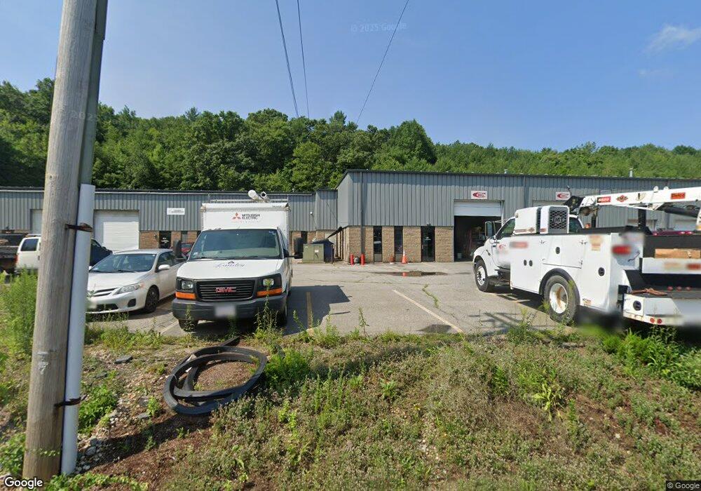
About This Home
This home is located at 12 John Rd, Sutton, MA 01590 and is currently estimated at $3,300,253, approximately $101 per square foot. 12 John Rd is a home located in Worcester County with nearby schools including Sutton Elementary School, Sutton Middle School, and Sutton High School.
Ownership History
We collect this data history from publicly available records. To have your information removed, we recommend requesting removal directly through your county’s website.
Purchase Details
Home Financials for this Owner
Home Financials are based on the most recent Mortgage that was taken out on this home.Purchase Details
Purchase Details
Home Financials for this Owner
Home Financials are based on the most recent Mortgage that was taken out on this home.Purchase Details
Home Financials for this Owner
Home Financials are based on the most recent Mortgage that was taken out on this home.Home Values in the Area
Average Home Value in this Area
Purchase History
We collect this data history from publicly available records. To have your information removed, we recommend requesting removal directly through your county’s website.
| Date | Buyer | Sale Price | Title Company |
|---|---|---|---|
| $3,100,000 | None Available | ||
| -- | None Available | ||
| $1,980,000 | None Available | ||
| $1,300,000 | -- |
Mortgage History
We collect this data history from publicly available records. To have your information removed, we recommend requesting removal directly through your county’s website.
| Date | Status | Borrower | Loan Amount |
|---|---|---|---|
| Open | $2,215,000 | ||
| Previous Owner | $1,696,250 | ||
| Previous Owner | $1,100,000 |
Tax History
We collect this data history from publicly available records. To have your information removed, we recommend requesting removal directly through your county’s website.
| Year | Tax Paid | Tax Assessment Tax Assessment Total Assessment is a certain percentage of the fair market value that is determined by local assessors to be the total taxable value of land and additions on the property. | Land | Improvement |
|---|---|---|---|---|
| 2025 | $33,919 | $2,821,900 | $264,000 | $2,557,900 |
| 2024 | $22,919 | $1,807,500 | $264,000 | $1,543,500 |
| 2023 | $24,983 | $1,803,800 | $260,300 | $1,543,500 |
| 2022 | $23,535 | $1,550,400 | $229,800 | $1,320,600 |
| 2021 | $21,338 | $1,333,600 | $229,800 | $1,103,800 |
| 2020 | $21,151 | $1,333,600 | $229,800 | $1,103,800 |
| 2019 | $20,719 | $1,254,200 | $215,000 | $1,039,200 |
| 2018 | $23,637 | $1,428,200 | $215,000 | $1,213,200 |
| 2017 | $23,565 | $1,428,200 | $215,000 | $1,213,200 |
| 2016 | $23,649 | $1,417,800 | $204,600 | $1,213,200 |
| 2015 | $23,649 | $1,417,800 | $204,600 | $1,213,200 |
| 2014 | $24,776 | $1,467,800 | $126,700 | $1,341,100 |
Map
- 128 Worcester Providence Turnpike
- 9 Colonial Rd
- 124 Worcester Providence Turnpike
- 16 Herricks Ln
- 33 Burbank St
- 3 Moore Dr
- 108 Worcester Providence Turnpike
- 100 S Main St
- 0 W Main St
- 5 Salo Terrace
- 35 Alpine St
- 118 Worcester-Providence Turnpike
- 131 Elm St
- 198 W Main St
- 32 Sibley Rd
- 122 Elm St
- 35 Maple St
- 61 Beach St
- 47 Singletary Ave
- 2 Ashton Ln Unit 2
- 12 John Rd Unit B
- 12 John Rd Unit E
- 6 John Rd
- 16 Steven Dr
- 10 Olivia Ln
- 11 Deborah Dr
- 14 Deborah Dr
- 15 Steven Dr
- 10 Worcester Providence Turnpike
- 148 Worcester Providence Turnpike
- 5 Worcester Providence Turnpike
- 170 Burbank Rd
- 141 Worcester Providence Turnpike
- 141 Worcester Providence Turnpike
- 140 Worcester Providence Turnpike
- 166 Burbank Rd
- 178 Burbank Rd
- 11 Olivia Ln
- 160 Burbank Rd
- 164 Burbank Rd
Ask me questions while you tour the home.