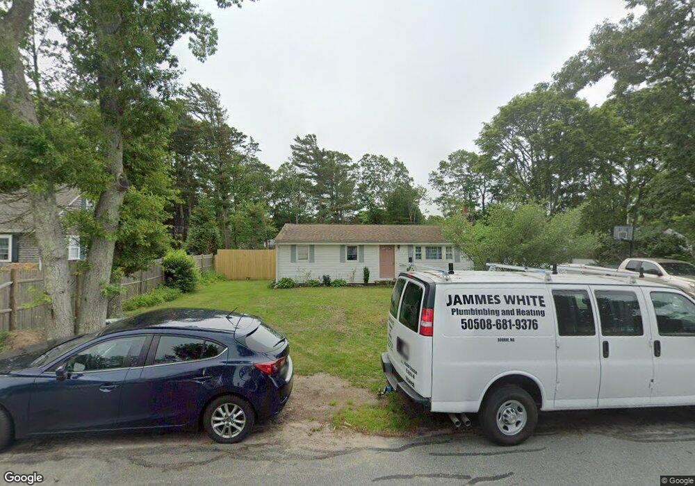
12 Kayajan Ave Bourne, MA 2532
Buzzards Bay NeighborhoodEstimated Value: $435,000 - $493,952
3
Beds
2
Baths
1,104
Sq Ft
$425/Sq Ft
Est. Value
About This Home
This home is located at 12 Kayajan Ave, Bourne, MA 2532 and is currently estimated at $469,738, approximately $425 per square foot. 12 Kayajan Ave is a home located in Barnstable County with nearby schools including Bourne High School and St Margaret Regional School.
Ownership History
Date
Name
Owned For
Owner Type
Purchase Details
Closed on
Jan 30, 2013
Sold by
Fnma
Bought by
White James
Current Estimated Value
Home Financials for this Owner
Home Financials are based on the most recent Mortgage that was taken out on this home.
Original Mortgage
$129,360
Outstanding Balance
$89,794
Interest Rate
3.41%
Mortgage Type
New Conventional
Estimated Equity
$379,944
Purchase Details
Closed on
Apr 13, 2012
Sold by
Keeman Alice K
Bought by
Federal National Mortgage Association
Purchase Details
Closed on
Jan 18, 2012
Sold by
Keeman Alice K
Bought by
Federal National Mortgage Association
Purchase Details
Closed on
Jul 31, 2001
Sold by
Redgate Daniel S
Bought by
Keeman Alice K
Purchase Details
Closed on
Oct 1, 1996
Sold by
Gomes Allen P and Gomes Joan T
Bought by
Redgate Daniel S
Create a Home Valuation Report for This Property
The Home Valuation Report is an in-depth analysis detailing your home's value as well as a comparison with similar homes in the area
Home Values in the Area
Average Home Value in this Area
Purchase History
| Date | Buyer | Sale Price | Title Company |
|---|---|---|---|
| White James | $168,000 | -- | |
| White James | $168,000 | -- | |
| Federal National Mortgage Association | $235,661 | -- | |
| Federal National Mortgage Association | $235,661 | -- | |
| Federal National Mortgage Association | $235,661 | -- | |
| Federal National Mortgage Association | $235,661 | -- | |
| Keeman Alice K | $169,900 | -- | |
| Keeman Alice K | $169,900 | -- | |
| Redgate Daniel S | $101,500 | -- | |
| Redgate Daniel S | $101,500 | -- |
Source: Public Records
Mortgage History
| Date | Status | Borrower | Loan Amount |
|---|---|---|---|
| Open | Redgate Daniel S | $129,360 | |
| Closed | Redgate Daniel S | $33,600 |
Source: Public Records
Tax History Compared to Growth
Tax History
| Year | Tax Paid | Tax Assessment Tax Assessment Total Assessment is a certain percentage of the fair market value that is determined by local assessors to be the total taxable value of land and additions on the property. | Land | Improvement |
|---|---|---|---|---|
| 2025 | $3,237 | $414,500 | $184,400 | $230,100 |
| 2024 | $3,082 | $384,300 | $175,600 | $208,700 |
| 2023 | $2,996 | $340,100 | $155,400 | $184,700 |
| 2022 | $2,868 | $284,200 | $137,600 | $146,600 |
| 2021 | $2,715 | $252,100 | $125,200 | $126,900 |
| 2020 | $2,629 | $244,800 | $124,000 | $120,800 |
| 2019 | $2,501 | $238,000 | $124,000 | $114,000 |
| 2018 | $2,269 | $215,300 | $112,200 | $103,100 |
| 2017 | $2,088 | $202,700 | $111,100 | $91,600 |
| 2016 | $1,922 | $189,200 | $99,400 | $89,800 |
| 2015 | $1,905 | $189,200 | $99,400 | $89,800 |
Source: Public Records
Map
Nearby Homes
- 34 Washington Ave
- 151 - 153 Main St
- 46 Holt Rd
- 46 Holt Rd Unit A
- 16 Washington Ave
- 3 Wolf Rd
- 17 Maple St
- 41 Lewis Point Rd
- 56 Rip Van Winkle Way
- 0 Lewis Point Rd
- 162 Puritan Rd
- 65 Lewis Point Rd
- 73 Lewis Point Rd
- 171 Puritan Rd
- 304 Main St
- 38 Old Bridge Rd
- 4 Knob Ln
- 9 Hideaway Rd Unit F
- 27 Baker Ln Unit 27H
- 13 Hideaway Village Unit G